SUMMARY
This is AI generated summarization, which may have errors. For context, always refer to the full article.
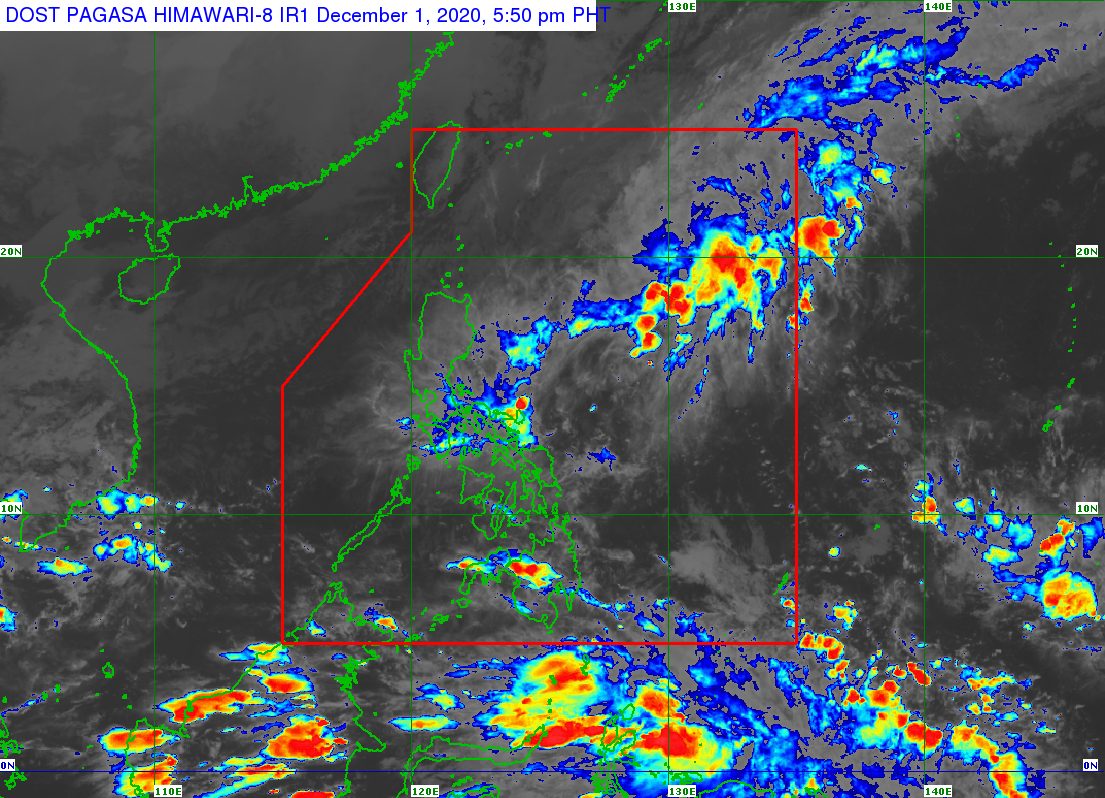
The low pressure area (LPA) inside the Philippine Area of Responsibility (PAR) and the tail-end of a frontal system will still trigger rain in the next 24 hours.
In a bulletin issued 4 pm on Tuesday, December 1, the Philippine Atmospheric, Geophysical, and Astronomical Services Administration (PAGASA) said the LPA was located 115 kilometers east of Borongan City, Eastern Samar.
The LPA and the tail-end of a frontal system or shear line are both causing scattered rain showers and thunderstorms in these two regions, with floods and landslides possible:
- Bicol
- Eastern Visayas
PAGASA Weather Specialist Ariel Rojas explained that the tail-end of a frontal system is the boundary between the easterlies and the northeast monsoon or hanging amihan. The easterlies refer to warm, moist air coming from the Pacific Ocean, while the northeast monsoon brings cold, dry air which is affecting much of Luzon.
The following areas will have light to moderate rain due to the northeast monsoon:
- Cagayan Valley
- Cordillera Administrative Region
- Aurora
- Quezon
- Oriental Mindoro
- Marinduque
- Romblon
Floods and landslides could occur, too, during periods of moderate rain.
The rest of Luzon, including Metro Manila, may have isolated light rain from the northeast monsoon as well.
Rojas said the LPA continues to have only a slim chance of developing into a tropical depression.
It could dissipate when it hits land in Eastern Visayas or Bicol, though Rojas said its remnants may still cause some rain on Wednesday, December 2.
No other potential tropical cyclones are expected to form or affect the Philippines in the next 2 to 3 days, added Rojas. (READ: FAST FACTS: Tropical cyclones, rainfall advisories)
So far, the Philippines has had 21 tropical cyclones in 2020, already above the yearly average of 20. (READ: LIST: PAGASA’s names for tropical cyclones in 2020)
For the next 6 months, these are PAGASA’s estimates for tropical cyclones inside PAR:
- December 2020 – 1 or 2
- January 2021 – 0 or 1
- February 2021 – 0 or 1
- March 2021 – 0 or 1
- April 2021 – 0 or 1
- May 2021 – 0 or 1
La Niña has been underway since October, causing more rain than usual in the country.
The cold temperatures from the northeast monsoon are expected to persist until February 2021. – Rappler.com
Add a comment
How does this make you feel?
There are no comments yet. Add your comment to start the conversation.