SUMMARY
This is AI generated summarization, which may have errors. For context, always refer to the full article.
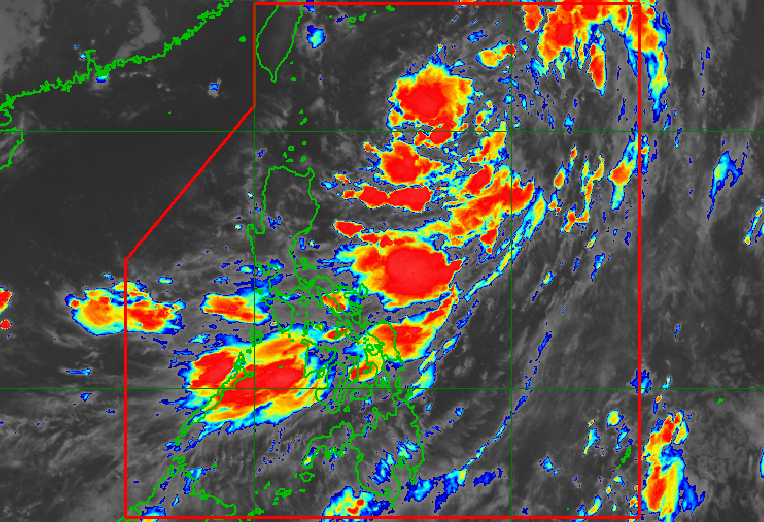
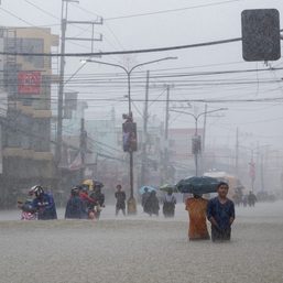
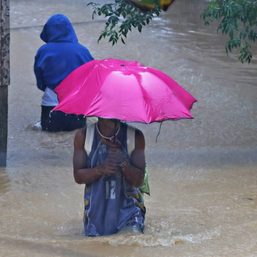
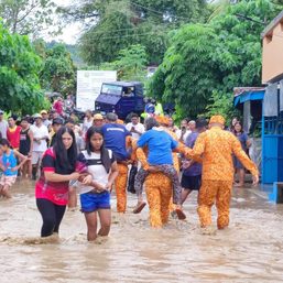
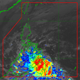
MANILA, Philippines – The southwest monsoon or hanging habagat, which is being influenced by both Tropical Depression Ester and a tropical storm outside the Philippine Area of Responsibility (PAR), continued to trigger rain in parts of the country early Saturday morning, July 30.
Due to the southwest monsoon, light to heavy rain will persist in several areas in Luzon and the Visayas on Saturday:
- Metro Manila
- Calabarzon
- Mimaropa
- Bicol
- Zambales
- Bataan
- Aklan
- Antique
- Eastern Samar
- Northern Samar
- Samar
Floods and landslides could occur during periods of heavy rain.
Ester was last spotted 785 kilometers east of Itbayat, Batanes, slowly moving northwest, said the Philippine Atmospheric, Geophysical, and Astronomical Services Administration (PAGASA) in its 5 am bulletin.
The tropical depression continues to have maximum sustained winds of 45 kilometers per hour and gustiness of up to 55 km/h.
Ester has no direct effect on the country and it will not make landfall. No tropical cyclone wind signals are in effect.
The tropical depression may already exit PAR on Saturday afternoon, and head for Japan’s Ryukyu Islands.

As for coastal conditions, Ester and the southwest monsoon are still causing moderate to rough seas in the northern and eastern seaboards of the country. Waves are 1.2 to 2.8 meters high, making travel risky for small vessels.
The international name of the tropical storm outside PAR, meanwhile, is Songda. It is not expected to enter PAR.
PAGASA expects 9 to 13 tropical cyclones to enter or develop inside PAR from August 2022 to January 2023. Per month, these are the weather bureau’s estimates:
- August 2022 – 2 or 3
- September 2022 – 2 or 3
- October 2022 – 2 to 4
- November 2022 – 2 or 3
- December 2022 – 1 or 2
- January 2023 – 0 or 1
– Rappler.com
Add a comment
How does this make you feel?


There are no comments yet. Add your comment to start the conversation.