SUMMARY
This is AI generated summarization, which may have errors. For context, always refer to the full article.
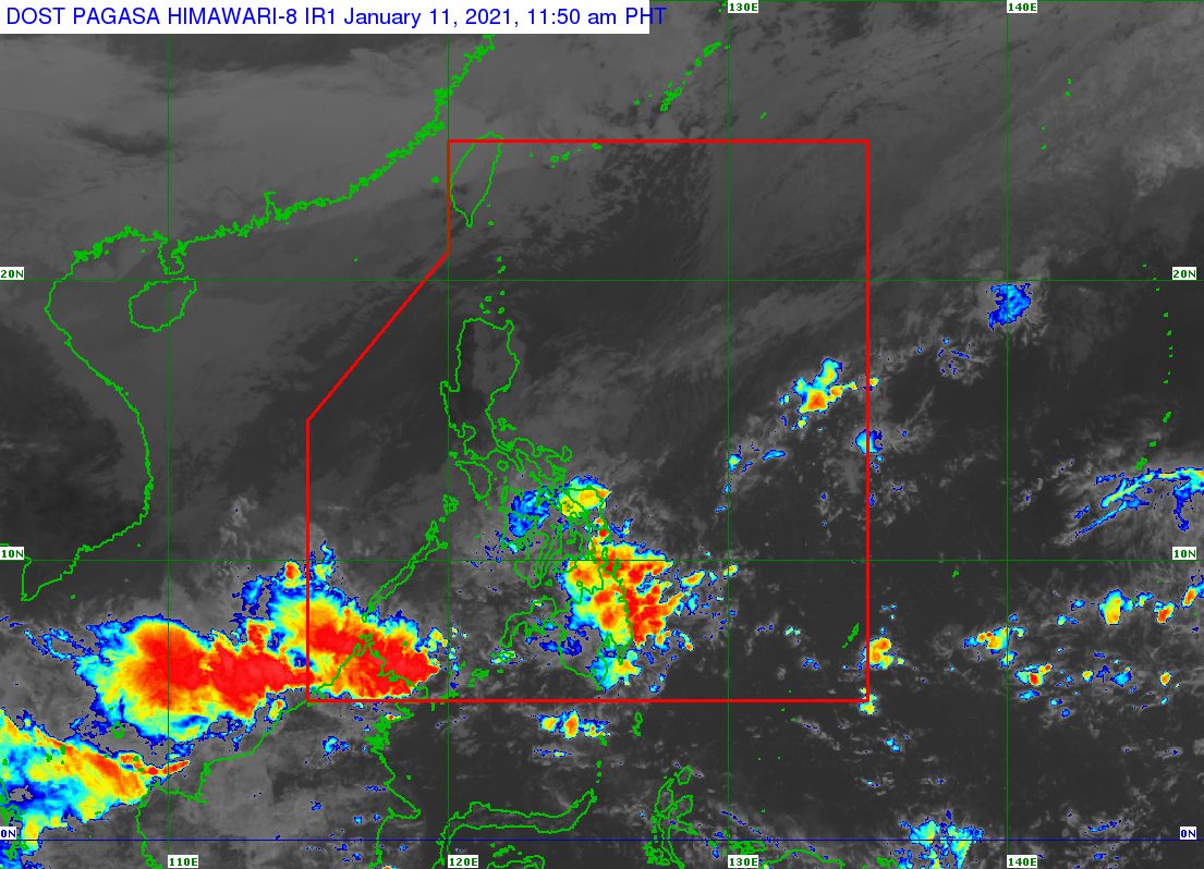
The tail-end of a frontal system or shear line and the intertropical convergence zone (ITCZ) are bringing heavy rain to some areas in the Visayas and Mindanao on Monday, January 11.
The tail-end of a frontal system is the boundary between the easterlies and the northeast monsoon or hanging amihan. The easterlies refer to warm, moist air coming from the Pacific Ocean, while the northeast monsoon brings cold, dry air.
The ITCZ, meanwhile, is a zone where northeast and southeast trade winds meet, usually causing thunderstorms and low pressure areas.
In an advisory issued 11 am on Monday, the Philippine Atmospheric, Geophysical, and Astronomical Services Administration (PAGASA) provided the following rainfall outlook for the next 24 hours:
Moderate to heavy rain
- Eastern Visayas
- Camotes Islands (Cebu)
- Dinagat Islands
- Surigao del Norte
- Surigao del Sur
- Davao Oriental
- Davao de Oro
Light to moderate rain, with at times heavy rain
- rest of Visayas
- rest of Caraga
- rest of Davao Region
- Sorsogon
- Masbate including Ticao Island
- Bukidnon
- Misamis Oriental
- Camiguin
- Balabac Islands (Palawan)
- Pangutaran Islands (Sulu)
- Mapun and Turtle Islands (Tawi-Tawi)
PAGASA warned affected areas to brace for possible floods and landslides.
The Philippines has yet to have its first tropical cyclone of 2021. (READ: FAST FACTS: Tropical cyclones, rainfall advisories)
For the first 6 months of the year, these are PAGASA’s estimates for the number of tropical cyclones inside the Philippine Area of Responsibility:
- January – 0 or 1
- February – 0 or 1
- March – 0 or 1
- April – 0 or 1
- May – 0 or 1
- June – 1 or 2
The state weather bureau earlier said La Niña is likely to continue until March. This means above normal rainfall would persist. – Rappler.com
Add a comment
How does this make you feel?
There are no comments yet. Add your comment to start the conversation.