SUMMARY
This is AI generated summarization, which may have errors. For context, always refer to the full article.
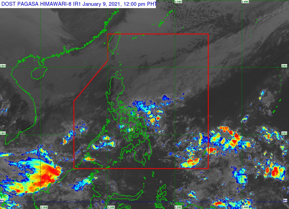
The tail-end of a frontal system or shear line continued to trigger rain in Bicol and parts of the Visayas on Saturday, January 9.
The Philippine Atmospheric, Geophysical, and Astronomical Services Administration (PAGASA) said in an 11 am advisory on Saturday that residents of the affected areas must remain on alert for floods and landslides.
Below is the latest rainfall forecast as of 11 am.
Moderate to heavy rain, with at times intense rain
- Camarines Sur
- Catanduanes
- Albay
- Sorsogon
- Ticao Island
- Northern Samar
Light to moderate rain, with at times heavy rain
- Camarines Norte
- Masbate including Burias Island
- Cagayancillo Islands
- Antique
- Aklan
- Guimaras
- Capiz
- Iloilo
- northern and central parts of Negros Occidental
- northern part of Cebu including Bantayan and Camotes Islands
- Eastern Samar
- Samar
- Biliran
- Leyte
PAGASA said floods and landslides “may occur during heavy or prolonged periods of rainfall,” especially in hazard-prone areas and areas which have already been receiving “significant amount of rainfall during the past couple of days or weeks.”
Flash floods already hit the province of Negros Occidental as 2021 began. Flooding has again been reported in some areas there.
The state weather bureau added that even without rain, “adjacent or nearby areas may also experience flooding…due to surface runoff or swelling of river channels.”
Surface runoff refers to excess rainwater, which is unable to be absorbed by the already saturated soil. Rivers could also overflow. (READ: FAST FACTS: Tropical cyclones, rainfall advisories)
At the moment, there is no low pressure area inside the Philippine Area of Responsibility (PAR).
The Philippines has yet to have its first tropical cyclone of 2021.
For the first 6 months of the year, these are PAGASA’s estimates for the number of tropical cyclones inside PAR:
- January – 0 or 1
- February – 0 or 1
- March – 0 or 1
- April – 0 or 1
- May – 0 or 1
- June – 1 or 2
The state weather bureau earlier said La Niña is likely to continue until March. This means above normal rainfall would persist. – Rappler.com
Add a comment
How does this make you feel?
There are no comments yet. Add your comment to start the conversation.