SUMMARY
This is AI generated summarization, which may have errors. For context, always refer to the full article.
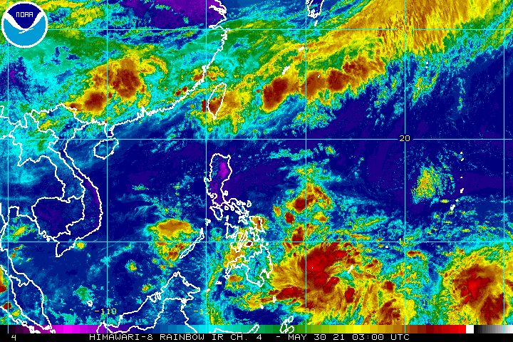
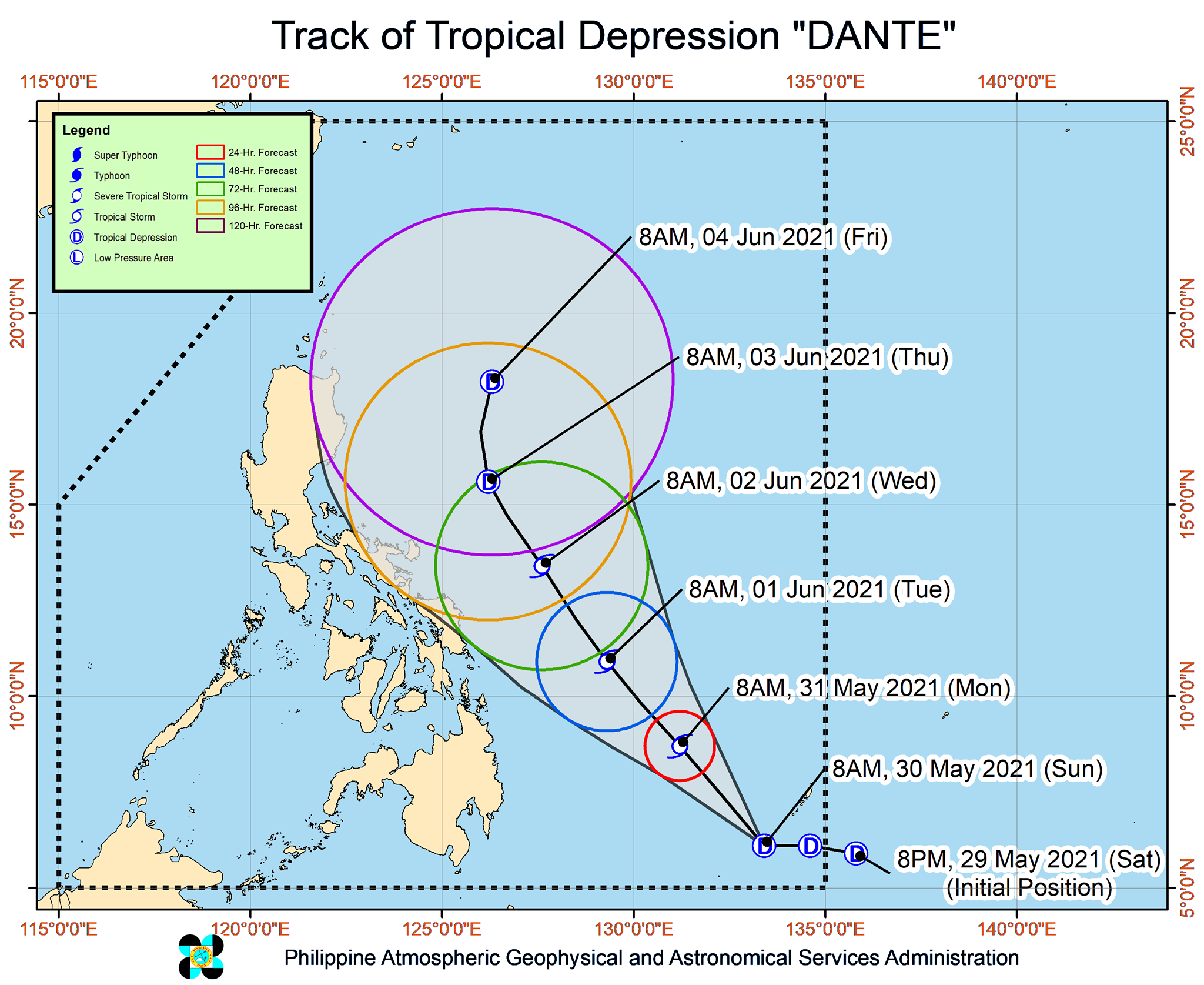
Tropical Depression Dante gained strength and accelerated on Sunday morning, May 30, as it continued to move over the Philippine Sea.
In its 11 am bulletin on Sunday, the Philippine Atmospheric, Geophysical, and Astronomical Services Administration (PAGASA) said Dante was already 820 kilometers east of Mindanao.
The tropical depression is moving west at a faster 25 kilometers per hour (km/h) from the previous 15 km/h.
Its maximum sustained winds increased from 45 km/h to 55 km/h, while its gustiness rose from 55 km/h to 70 km/h. (READ: FAST FACTS: Tropical cyclones, rainfall advisories)
PAGASA said Dante could intensify further into a tropical storm by Monday morning, May 31.
On Sunday, Dante’s outer rainbands may bring light to moderate rain, with at times heavy rain, to Caraga and the Davao Region.
PAGASA warned that isolated to scattered floods and landslides are possible.
For now, the state weather bureau said it is “less likely” to raise tropical cyclone wind signals due to Dante’s distance from land.
It is unlikely to make landfall, as it is projected to move northwest until Tuesday evening, June 1, before turning north northwest for the rest of its stay inside the Philippine Area of Responsibility (PAR).
But if Dante shifts to the west or toward land, wind signals could be raised for eastern parts of the country.
PAGASA is expected to soon declare the onset of the southwest monsoon or hanging habagat and the start of the rainy season.
For the next 6 months, the state weather bureau estimates the following number of tropical cyclones inside PAR:
- June – 1 to 3
- July – 2 to 4
- August – 2 or 3
- September – 2 or 3
- October – 2 or 3
- November – 2 or 3
The Philippines gets around 20 tropical cyclones each year. (READ: LIST: PAGASA’s names for tropical cyclones in 2021) – Rappler.com
Add a comment
How does this make you feel?


There are no comments yet. Add your comment to start the conversation.