SUMMARY
This is AI generated summarization, which may have errors. For context, always refer to the full article.
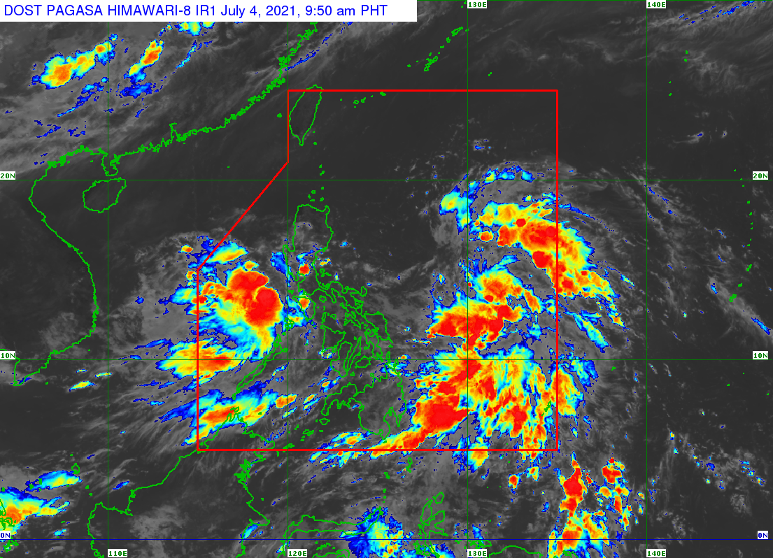
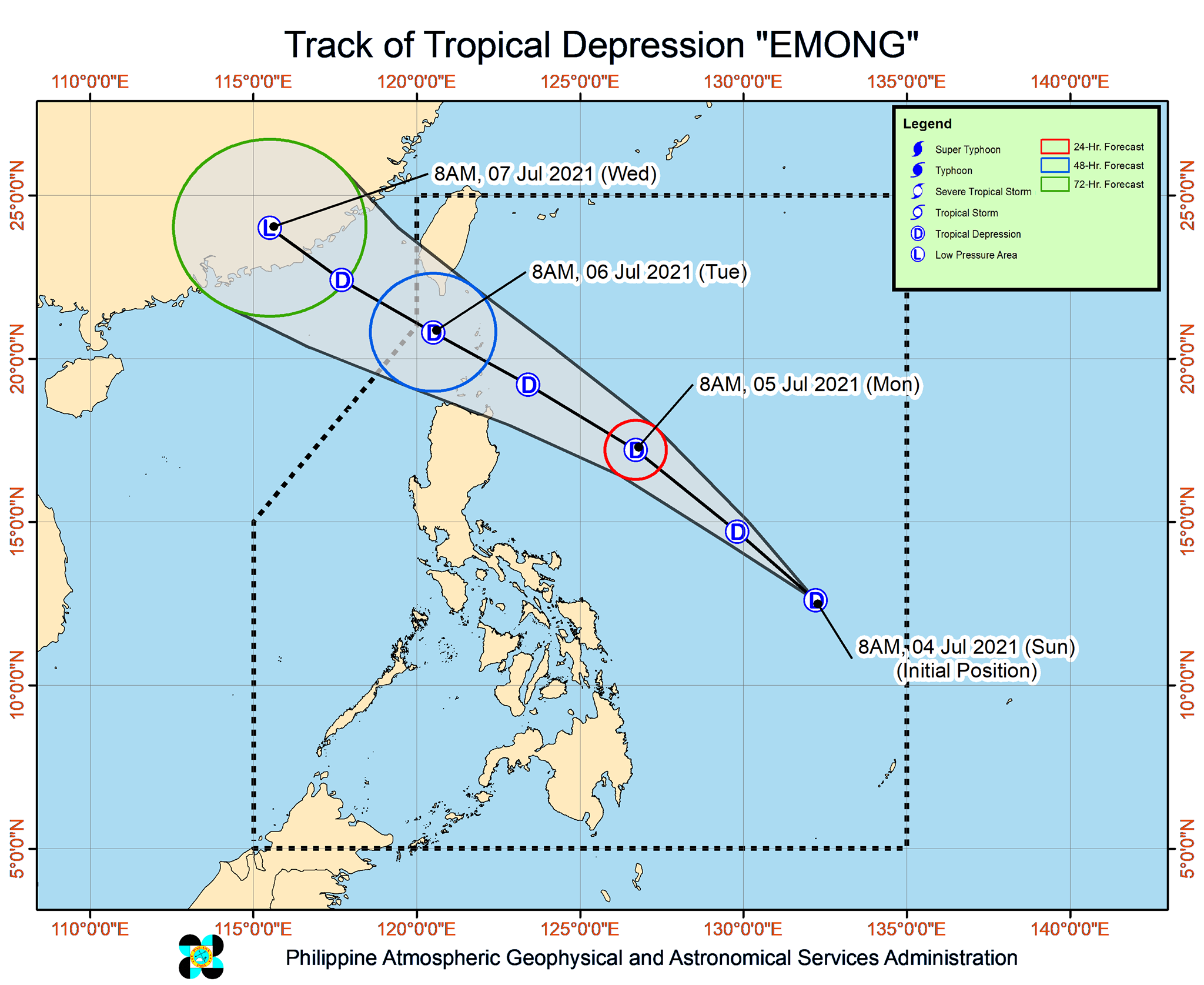
The first of the two low pressure areas (LPAs) inside the Philippine Area of Responsibility (PAR) developed into a tropical depression while east of Eastern Samar at 8 am on Sunday, July 4.
The Philippine Atmospheric, Geophysical, and Astronomical Services Administration (PAGASA) announced the development past 10 am on Sunday.
The tropical depression was given the local name Emong as the country’s fifth tropical cyclone for 2021. It is also the first tropical cyclone for July. (READ: LIST: PAGASA’s names for tropical cyclones in 2021)
In a separate bulletin released shortly before noon on Sunday, PAGASA said Emong was already 700 kilometers east northeast of Guiuan, Eastern Samar, or 790 kilometers east of Catarman, Northern Samar.
It is heading northwest toward extreme Northern Luzon at 25 kilometers per hour (km/h), a direction it is expected to maintain until Monday morning, July 5.
As of Sunday morning, Emong has maximum sustained winds of 45 km/h and gustiness of up to 55 km/h. It is likely to remain a tropical depression, according to PAGASA. (READ: FAST FACTS: Tropical cyclones, rainfall advisories)
Signal No. 1 was raised in the following areas as of 11 am on Sunday:
- Batanes
- northeastern part of Cagayan (Santa Ana, Gonzaga) including Babuyan Islands
Areas under Signal No. 1 should expect strong winds in 36 hours. (READ: Why is it now called tropical cyclone ‘wind’ – and not ‘warning’ – signals?)
PAGASA said Emong could cross the Batanes-Babuyan Islands area between Monday evening and Tuesday morning, July 6.
After that, it may exit PAR on Tuesday.
Remaining LPA
Meanwhile, the second LPA was located in the vicinity of Calapan City, Oriental Mindoro, on Sunday morning.
It remains “less likely” to become a tropical depression, at least within the next 24 hours.
But PAGASA said the LPA and the southwest monsoon or hanging habagat combined will cause light to moderate rain, with at times heavy rain, in these areas:
- Bulacan
- Pampanga
- Nueva Ecija
- Zambales
- Bataan
- Metro Manila
- Rizal
- northern part of Quezon including Polillo Islands
- Laguna
- Cavite
- Batangas
- Palawan including Calamian Islands
- Occidental Mindoro
- Oriental Mindoro
- Antique
PAGASA warned that isolated flash floods and landslides are possible during periods of heavy or prolonged rain.
An average of 20 tropical cyclones form within or enter PAR each year. For the rest of 2021, these are PAGASA’s estimates per month:
- July – 1 to 3
- August – 2 or 3
- September – 2 or 3
- October – 2 or 3
- November – 2 or 3
- December – 1 or 2
The state weather bureau declared the start of the rainy season last June 4. (READ: PAGASA joins TikTok to reach young Filipinos) – Rappler.com
Add a comment
How does this make you feel?


There are no comments yet. Add your comment to start the conversation.