SUMMARY
This is AI generated summarization, which may have errors. For context, always refer to the full article.
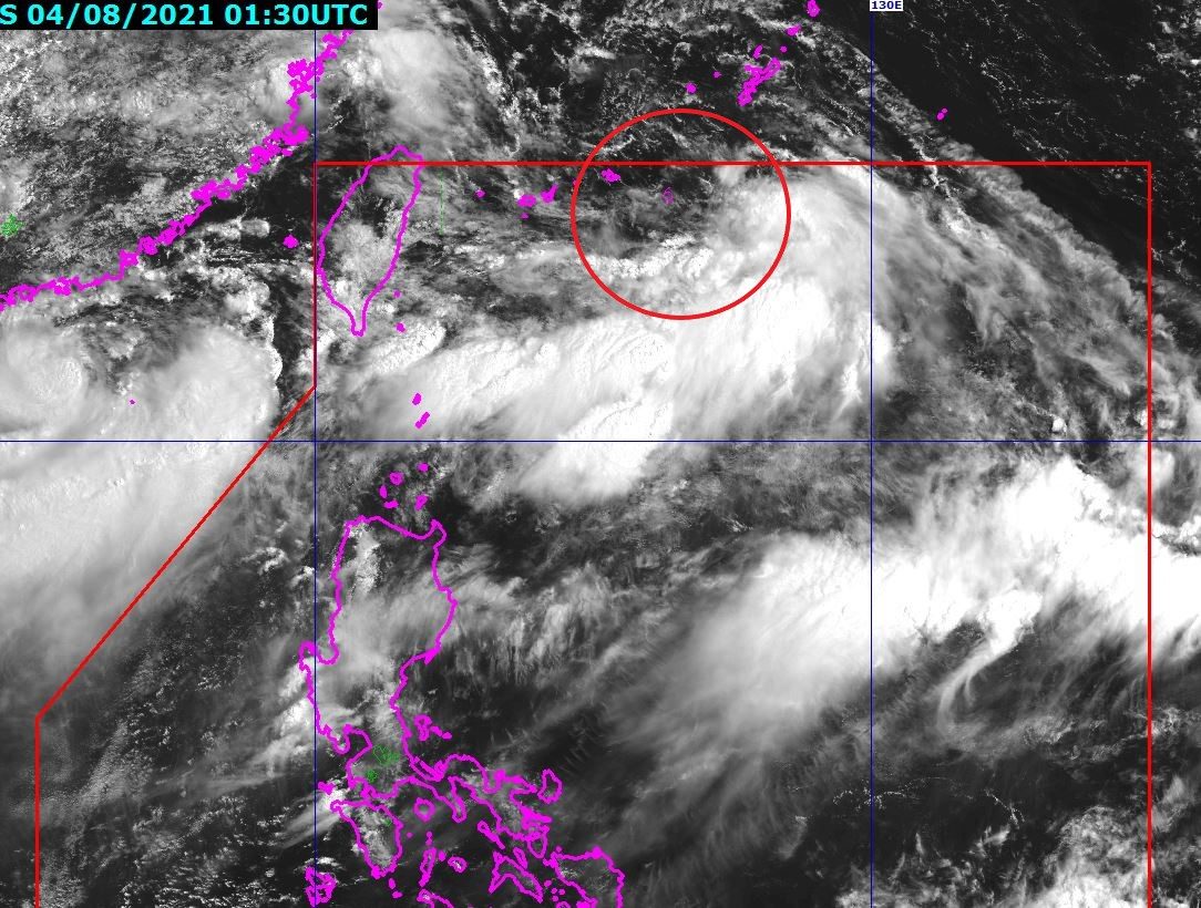
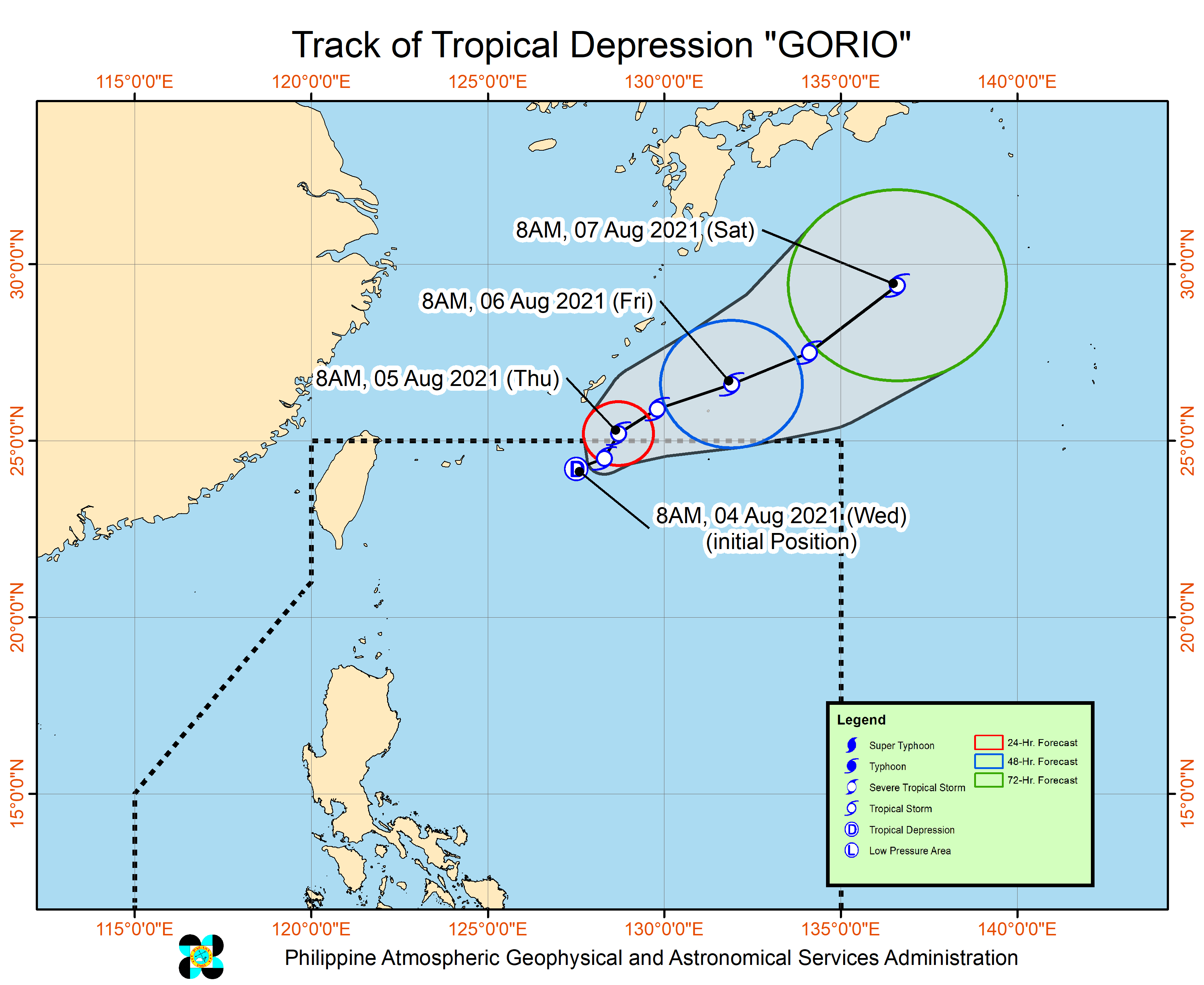
The low pressure area (LPA) northeast of Itbayat, Batanes, developed into a tropical depression at 8 am on Wednesday, August 4.
It was given the local name Gorio, as the Philippines’ seventh tropical cyclone for 2021.
It is also the first tropical cyclone for the month of August. (READ: FAST FACTS: Tropical cyclones, rainfall advisories)
In a briefing past noon, the Philippine Atmospheric, Geophysical, and Astronomical Services Administration (PAGASA) said Gorio was last spotted 730 kilometers northeast of Itbayat.
The tropical depression is moving east northeast at 20 kilometers per hour (km/h), away from the Philippines.
PAGASA said Gorio may head east northeast for the rest of Wednesday, then turn north northeast by Thursday morning, August 5. It could already leave the Philippine Area of Responsibility (PAR) on Thursday morning.
So far, Gorio has maximum sustained winds of 45 km/h and gustiness of up to 55 km/h.
But the state weather bureau said Gorio could intensify into a tropical storm on Wednesday.
There are no tropical cyclone wind signals raised due to Gorio’s distance from land and its general direction. It is also not causing rain.
The southwest monsoon or hanging habagat, however, is still affecting parts of Luzon.
In a separate bulletin issued at 11 am on Wednesday, PAGASA provided the following rainfall outlook for the next 24 hours:
Moderate to heavy rain
- Ilocos Region
- Zambales
- Bataan
- Abra
- Benguet
- Batanes
- Babuyan Islands
Light to moderate rain, with at times heavy rain
- rest of Central Luzon
- rest of Cordillera Administrative Region
- Metro Manila
- Apayao
- Occidental Mindoro
- Batangas
- Cavite
- Rizal
Flash floods and landslides could occur in areas affected by the southwest monsoon.
Meanwhile, one of the tropical depressions outside PAR has since intensified into a tropical storm. It was given the international name Lupit.
Tropical Storm Lupit was located 690 kilometers west of Basco, Batanes, as of Wednesday morning.
PAGASA Weather Specialist Ana Clauren said Lupit has no direct effect on the Philippines, so far, but forecasters are not ruling out the possibility that it may enter PAR.
There is also another tropical depression outside PAR, much farther at 2,615 kilometers east northeast of extreme Northern Luzon. It is not seen to affect the country.
An average of 20 tropical cyclones form within or enter PAR each year. (READ: LIST: PAGASA’s names for tropical cyclones in 2021)
These are PAGASA’s latest available estimates per month:
2021
- August – 2 or 3
- September – 2 or 3
- October – 2 or 3
- November – 2 or 3
- December – 1 or 2
2022
- January – 0 or 1
The rainy season has been underway since early June. – Rappler.com
Add a comment
How does this make you feel?


There are no comments yet. Add your comment to start the conversation.