SUMMARY
This is AI generated summarization, which may have errors. For context, always refer to the full article.
Catanduanes is the first province to be placed under a tropical cyclone wind signal, giving it 36 hours to prepare for the approaching Tropical Depression Quinta.
In its 11 am bulletin on Saturday, October 24, the Philippine Atmospheric, Geophysical, and Astronomical Services Administration (PAGASA) said Quinta is located 660 kilometers east of Catarman, Northern Samar, or 730 kilometers east of Juban, Sorsogon.
It slightly accelerated, now moving west northwest over the Philippine Sea at 30 kilometers per hour (km/h), from 15 km/h before dawn on Saturday.
PAGASA said Quinta is expected to make landfall in the region of Bicol between Sunday evening, October 25, and Monday morning, October 26, then cross Southern Luzon on Monday. Metro Manila may be affected.
As of Saturday morning, Quinta has maximum winds of 55 km/h and gustiness of up to 70 km/h. PAGASA said it is likely to intensify into a tropical storm within 12 hours, and then into a severe tropical storm before making landfall.
“After crossing the Philippine archipelago, this tropical cyclone may continue intensifying over the West Philippine Sea,” added PAGASA. (READ: FAST FACTS: Tropical cyclones, rainfall advisories)
Now that Catanduanes is under Signal No. 1, the province should brace for strong to near gale-force winds from Quinta within 36 hours. Note that tropical cyclone wind signals pertain to winds, not rainfall, and are issued with lead time for affected areas to prepare.
There will also be strong to gale-force winds from a northeasterly surge in the following areas:
- Batanes
- Babuyan Islands
- northern coastal areas of Ilocos Norte and mainland Cagayan
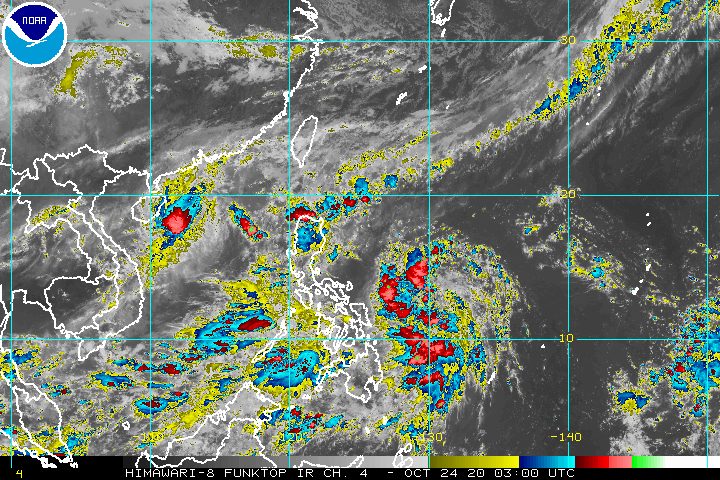
In terms of rainfall, PAGASA said the troughs or extensions of both Tropical Depression Quinta and Severe Tropical Storm Saudel – formerly Pepito when it was still inside the Philippine Area of Responsibility (PAR) – will trigger rain on Saturday. Saudel, located outside PAR at 805 kilometers west of Northern Luzon, has weakened from typhoon category.
Light to moderate rain, with at times heavy rain
- Mimaropa
- Bicol
- Visayas
- Zamboanga Peninsula
- Bangsamoro Autonomous Region in Muslim Mindanao
- Northern Mindanao
- Caraga
PAGASA added that “a stationary front currently extending over extreme Northern Luzon associated with the northeasterly surge” will bring rain as well.
Moderate to heavy rain
- Cagayan Valley
- northern part of Apayao
- northern part of Ilocos Norte
A gale warning remains in effect for these seaboards due to rough to very rough seas, with waves 2.8 to 6 meters high:
- seaboards of Northern Luzon
- western seaboards of Central Luzon, Batangas, Occidental Mindoro, and northern part of Palawan including Calamian and Kalayaan Islands
Moderate to rough seas, with waves 1.5 to 2.5 meters high, will also be experienced in these seaboards:
- western seaboard of southern part of Palawan
- eastern seaboards of Central Luzon and Southern Luzon
“Inexperienced mariners should avoid navigating in these conditions,” PAGASA said.
Based on its latest forecast track, Quinta might leave PAR by early Wednesday, October 28.
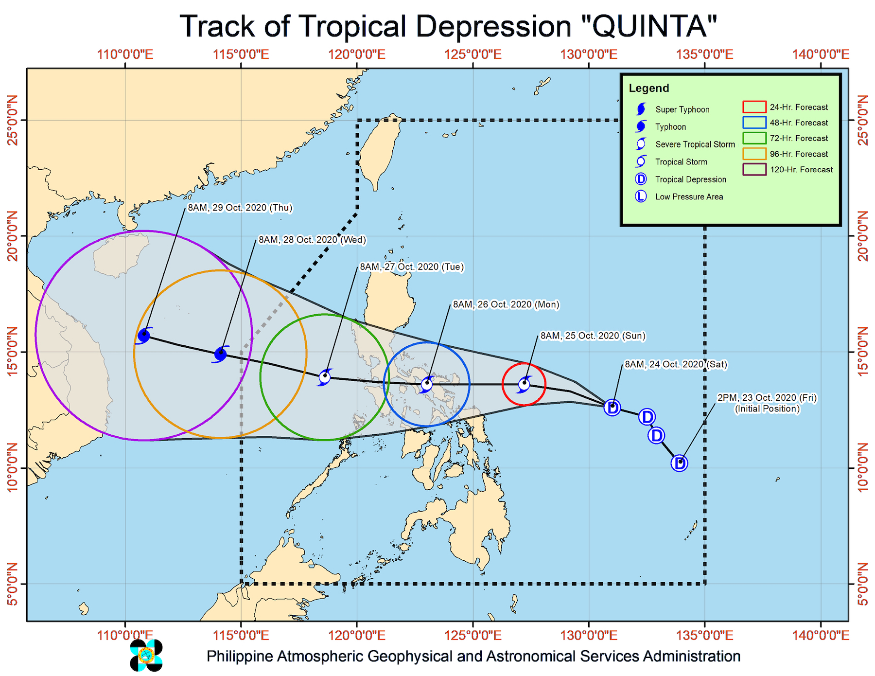
Quinta is the Philippines’ 17th tropical cyclone for 2020, and the 4th for October.
An average of 20 tropical cyclones form within or enter PAR each year. (READ: LIST: PAGASA’s names for tropical cyclones in 2020)
These are PAGASA’s latest estimates for the number of tropical cyclones inside PAR in the next 6 months:
- November 2020 – 1 to 3
- December 2020 – 2 or 3
- January 2021 – 0 or 1
- February 2021 – 0 or 1
- March 2021 – 0 or 1
- April 2021 – 0 or 1
Last October 2, the state weather bureau warned Filipinos to expect more rain in the coming months due to the onset of La Niña. – Rappler.com
Add a comment
How does this make you feel?


There are no comments yet. Add your comment to start the conversation.