SUMMARY
This is AI generated summarization, which may have errors. For context, always refer to the full article.
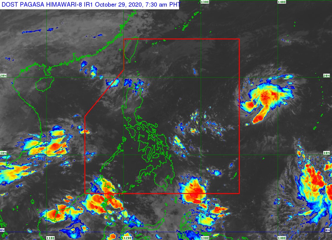
The tropical depression outside the Philippine Area of Responsibility (PAR) strengthened into a tropical storm, announced the state weather bureau in an online briefing past 4 am on Thursday, October 29.
The tropical storm was given the international name Goni.
The Philippine Atmospheric, Geophysical, and Astronomical Services Administration (PAGASA) said Tropical Storm Goni is now 1,705 kilometers east of Central Luzon.
It is moving west at 10 kilometers per hour (km/h), inching toward the PAR’s eastern boundary, where it may enter on Thursday morning or afternoon.
When it enters PAR, the tropical storm will be given the local name Rolly, as the Philippines’ 18th tropical cyclone for 2020. It would also be the 5th tropical cyclone for October alone. (READ: LIST: PAGASA’s names for tropical cyclones in 2020)
Goni now has maximum sustained winds of 65 km/h from the previous 55 km/h and gustiness of up to 80 km/h from the previous 70 km/h.
But within 24 hours, Goni or the soon-to-be Rolly is expected to intensify further into a severe tropical storm – that may happen on Thursday or by early Friday morning, October 30.
Another 24 hours after that, meaning within Friday or by early Saturday morning, October 31, the weather disturbance could already be a typhoon.
As a typhoon, it could make landfall in the region of Bicol on Sunday morning, November 1, then possibly cross Southern Luzon. This would be a path similar to that of Typhoon Quinta (Molave), which left at least 9 people dead and agricultural losses totaling at least P705.87 million.
Since Goni remains outside PAR and far from Philippine landmass, PAGASA’s forecast could still change.
Aside from Goni, PAGASA also spotted a new low pressure area (LPA) outside PAR.
The LPA is 2,550 kilometers east of Mindanao, farther than the tropical storm.
PAGASA Weather Specialist Ezra Bulquerin said the LPA could also eventually enter PAR, though he did not yet specify when. Updates are expected in the coming days.
An average of 20 tropical cyclones form within or enter PAR each year.
These are PAGASA’s latest estimates for the number of tropical cyclones inside PAR in the next 6 months:
- November 2020 – 1 to 3
- December 2020 – 2 or 3
- January 2021 – 0 or 1
- February 2021 – 0 or 1
- March 2021 – 0 or 1
- April 2021 – 0 or 1
Last October 2, the state weather bureau warned Filipinos to expect more rain in the coming months due to the onset of La Niña. – Rappler.com
Add a comment
How does this make you feel?
There are no comments yet. Add your comment to start the conversation.