SUMMARY
This is AI generated summarization, which may have errors. For context, always refer to the full article.
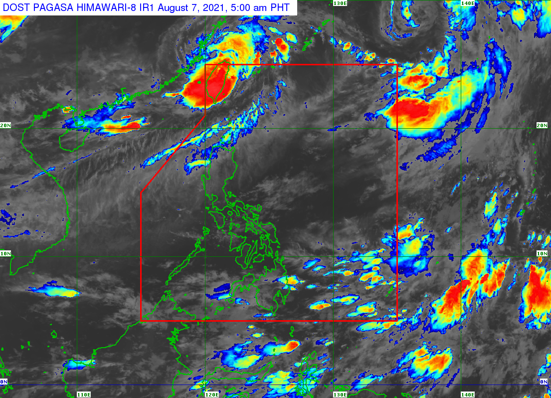
The tropical storm with the international name Lupit entered the Philippine Area of Responsibility (PAR) at 5 am on Saturday, August 7.
It was given the local name Huaning, as the country’s eighth tropical cyclone for 2021.
It is also the second tropical cyclone for August, after Tropical Depression Gorio, which had stayed inside PAR for only eight hours last Wednesday, August 4.
Like Gorio, Huaning is not expected to make landfall in the Philippines, with its location hundreds of kilometers above the northernmost province of Batanes.
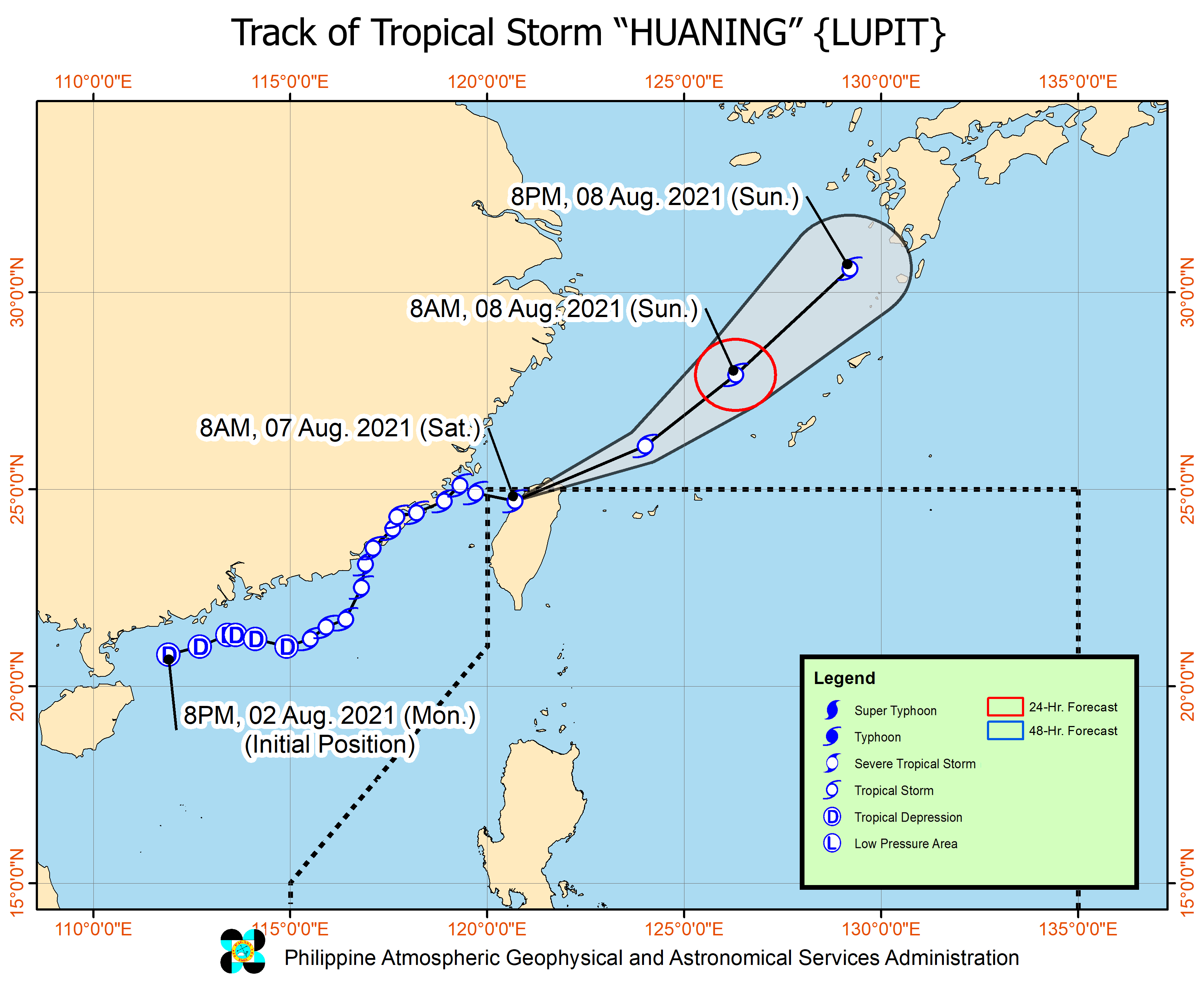
In a bulletin issued past 11 am on Saturday, the Philippine Atmospheric, Geophysical, and Astronomical Services Administration (PAGASA) said Huaning was last spotted 465 kilometers north of Itbayat, Batanes, or in the vicinity of Hsinchu City in Taiwan, where it has already made landfall.
Taiwan is still within PAR.
As of Saturday morning, the tropical storm was moving east southeast at 15 kilometers per hour (km/h).
So far, Huaning has maximum sustained winds of 65 km/h and gustiness of up to 110 km/h. It is likely to remain a tropical storm, according to PAGASA, but there is a chance of it weakening into a tropical depression while crossing Taiwan. (READ: FAST FACTS: Tropical cyclones, rainfall advisories)
Huaning is not seen to bring rain to the Philippines and there are no tropical cyclone wind signals in effect.
But the tropical storm is enhancing the southwest monsoon or hanging habagat, which is bringing gusty conditions to the following areas on Saturday:
- Batanes
- Babuyan Islands
- Ilocos Norte
- Ilocos Sur
- Apayao
- Abra
The enhanced southwest monsoon is also causing rough to very rough seas in the northern and western seaboards of Luzon on Saturday. Travel is risky for small vessels since waves are 2.5 to 4.5 meters high.
PAGASA said Huaning could exit PAR and emerge off the north or northeastern coast of Taiwan, over the East China Sea, on Saturday afternoon or evening.
Then the tropical storm could head for Kyushu in the southern part of Japan.
Huaning’s international name, Lupit, was contributed by the Philippines.
An average of 20 tropical cyclones form within or enter PAR each year. (READ: LIST: PAGASA’s names for tropical cyclones in 2021)
These are PAGASA’s latest available estimates per month:
2021
- August – 2 or 3
- September – 2 or 3
- October – 2 or 3
- November – 2 or 3
- December – 1 or 2
2022
- January – 0 or 1
The rainy season has been underway since early June. – Rappler.com
Add a comment
How does this make you feel?


There are no comments yet. Add your comment to start the conversation.