SUMMARY
This is AI generated summarization, which may have errors. For context, always refer to the full article.
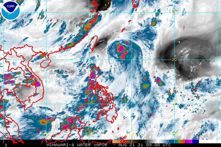
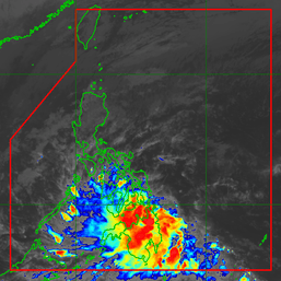
The intertropical convergence zone (ITCZ) was affecting Southern Luzon and parts of the Visayas and Mindanao on Saturday, August 21, while Tropical Storm Isang (Omais) strengthened further over the Philippine Sea.
The ITCZ is a belt near the equator where the trade winds of the Northern Hemisphere and Southern Hemisphere meet, usually causing low pressure areas or thunderstorms. (READ: FAST FACTS: Tropical cyclones, rainfall advisories)
The Philippine Atmospheric, Geophysical, and Astronomical Services Administration (PAGASA) said in a bulletin on Saturday afternoon that scattered rain showers and thunderstorms were being experienced in these regions:
- Metro Manila
- Central Luzon
- Calabarzon
- Mimaropa
- Western Visayas
- Zamboanga Peninsula
- Bangsamoro Autonomous Region in Muslim Mindanao
- Soccsksargen
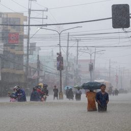
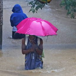
PAGASA warned that severe thunderstorms could trigger flash floods or landslides.
Meanwhile, Isang was last spotted 585 kilometers east northeast of Itbayat, Batanes, moving northwest at 15 kilometers per hour (km/h).
The tropical storm is not affecting any part of the Philippines.
PAGASA said Isang is still expected to stay far from the country’s landmass. It is likely to maintain its northwest direction for the rest of Saturday until Sunday morning, August 22, then turn north northwest on Sunday afternoon over the East China Sea.
Isang is projected to exit the Philippine Area of Responsibility (PAR) on Sunday morning or afternoon.
As of Saturday afternoon, Isang’s maximum sustained winds had reached 85 km/h while its gustiness was up to 105 km/h.
PAGASA now sees Isang strengthening into a severe tropical storm on Saturday evening or early Sunday morning. It may reach its peak intensity afterwards.
By Monday morning, August 23, Isang could start to weaken outside PAR.
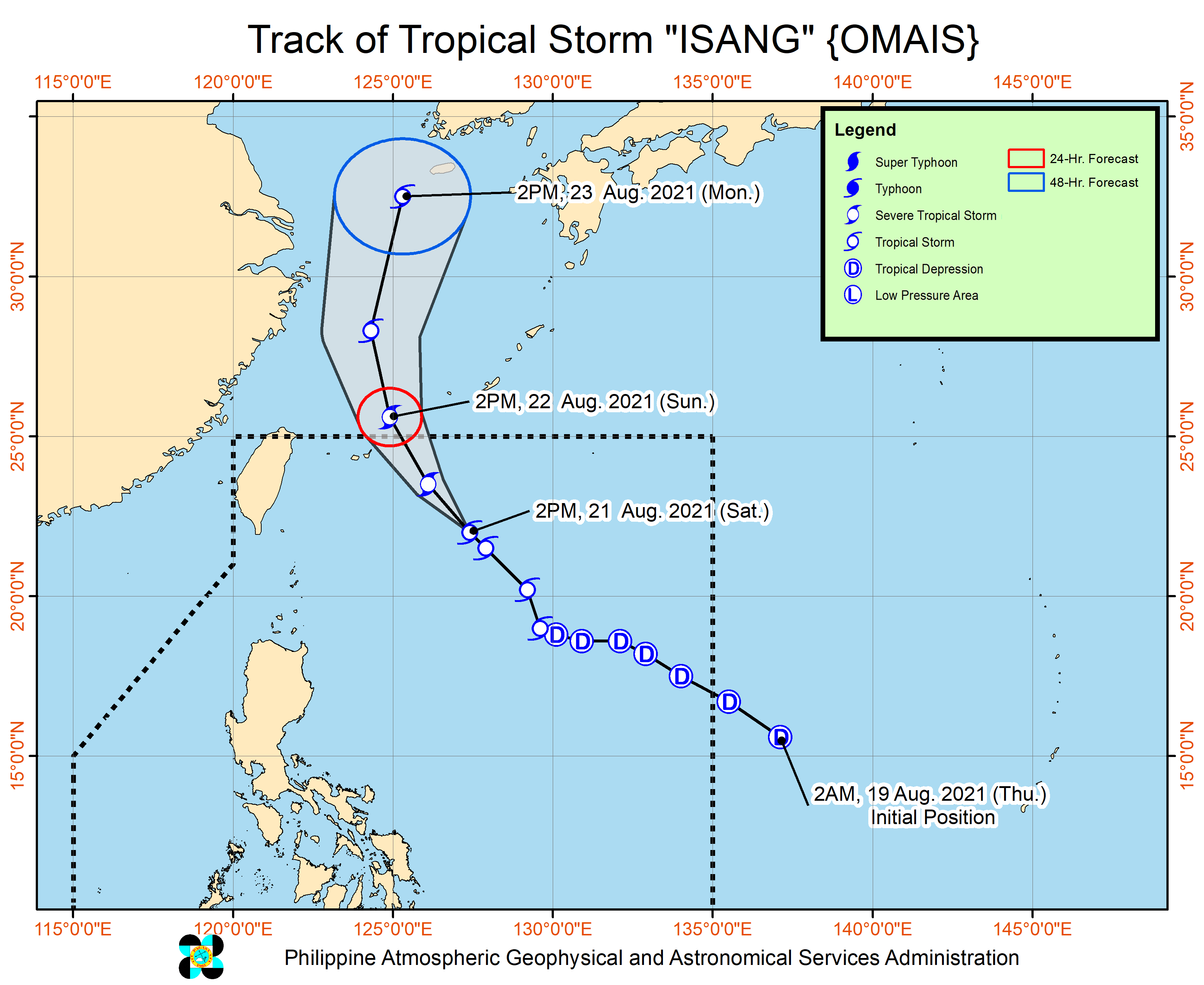
Isang is the Philippines’ ninth tropical cyclone for 2021 and the third for August.
An average of 20 tropical cyclones form within or enter PAR each year. (READ: LIST: PAGASA’s names for tropical cyclones in 2021)
These are PAGASA’s latest available estimates per month:
2021
- August – 2 or 3
- September – 2 or 3
- October – 2 or 3
- November – 2 or 3
- December – 1 or 2
2022
- January – 0 or 1
The rainy season has been underway since early June. – Rappler.com
Add a comment
How does this make you feel?


There are no comments yet. Add your comment to start the conversation.