SUMMARY
This is AI generated summarization, which may have errors. For context, always refer to the full article.
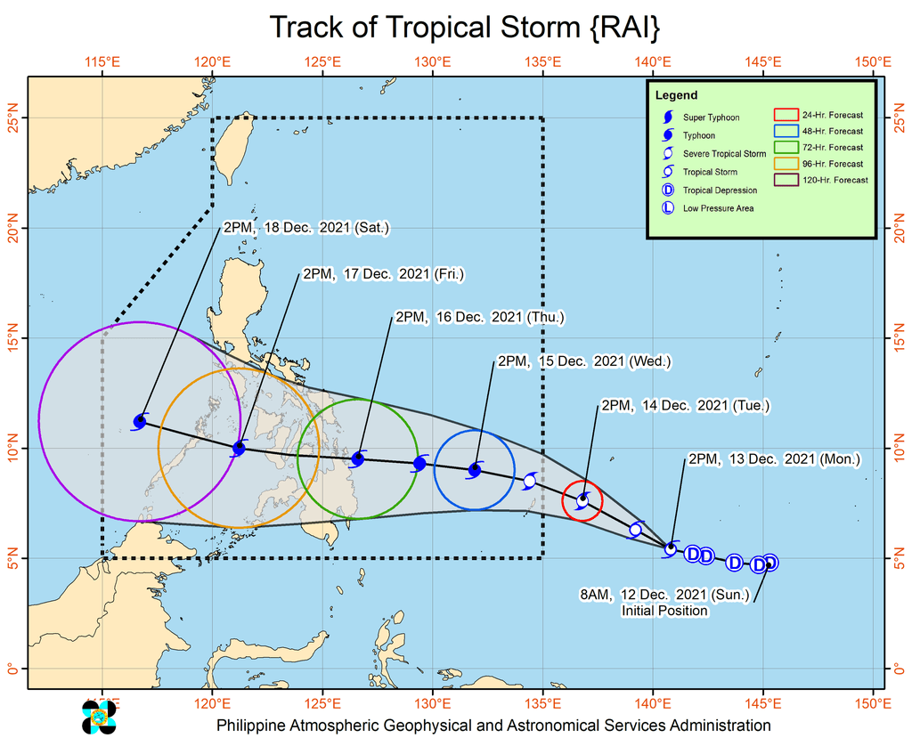
MANILA, Philippines – The tropical depression located outside the Philippine Area of Responsibility (PAR) strengthened into a tropical storm at 2 pm on Monday, December 13, and was given the international name Rai.
The Philippine Atmospheric, Geophysical, and Astronomical Services Administration (PAGASA) said in an advisory issued 5 pm on Monday that Tropical Storm Rai was 1,630 kilometers east of Mindanao, moving west northwest at 20 kilometers per hour (km/h).
The tropical storm has maximum sustained winds of 65 km/h and gustiness of up to 80 km/h.
PAGASA expects Rai to strengthen further into a severe tropical storm, and subsequently into a typhoon by Wednesday, December 15. It could reach a peak intensity of around 155 km/h – referring to maximum sustained winds – before landfall.
Rai is seen to enter PAR as a severe tropical storm on Tuesday evening, December 14. It will be given the local name Odette once inside PAR.
Rai or the future Odette is still projected to make landfall in Caraga or Eastern Visayas on Thursday afternoon or evening, December 16. By then, it could already be a typhoon.
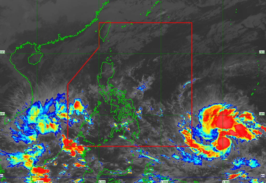
Heavy rain and “strong to typhoon-force winds” may hit the Visayas, large portions of Mindanao, and several provinces in Southern Luzon once the tropical cyclone moves closer to Philippine landmass and as it makes landfall.
The heavy rain could trigger floods and landslides.
Signal No. 1, meanwhile, might be raised for the eastern parts of the Visayas and Mindanao as early as Tuesday afternoon or evening. This is to alert residents of those areas to expect strong winds from the tropical cyclone.
The highest possible wind signal from Rai or Odette, added PAGASA, would be Signal No. 3.
The weather bureau also warned of possible “coastal inundation due to high waves near the coast” and storm surges in low-lying localities.
In addition, the shear line may bring heavy rain to the northern and eastern parts of Northern Luzon and the eastern part of Central Luzon during and after the passage of the tropical cyclone.
Rai or Odette would be the Philippines’ 15th tropical cyclone for 2021. The yearly average is 20. – Rappler.com
Add a comment
How does this make you feel?
There are no comments yet. Add your comment to start the conversation.