SUMMARY
This is AI generated summarization, which may have errors. For context, always refer to the full article.
Typhoon Vinta landed over Cagayan on Thursday, October 31. Help report incidents of flooding in your area or call attention to persons in need of rescue.
Project Agos Information Platform
(Editor’s note: Due to the absence of reports during and after Typhoon Vinta, we have replaced the report map with a static image.)
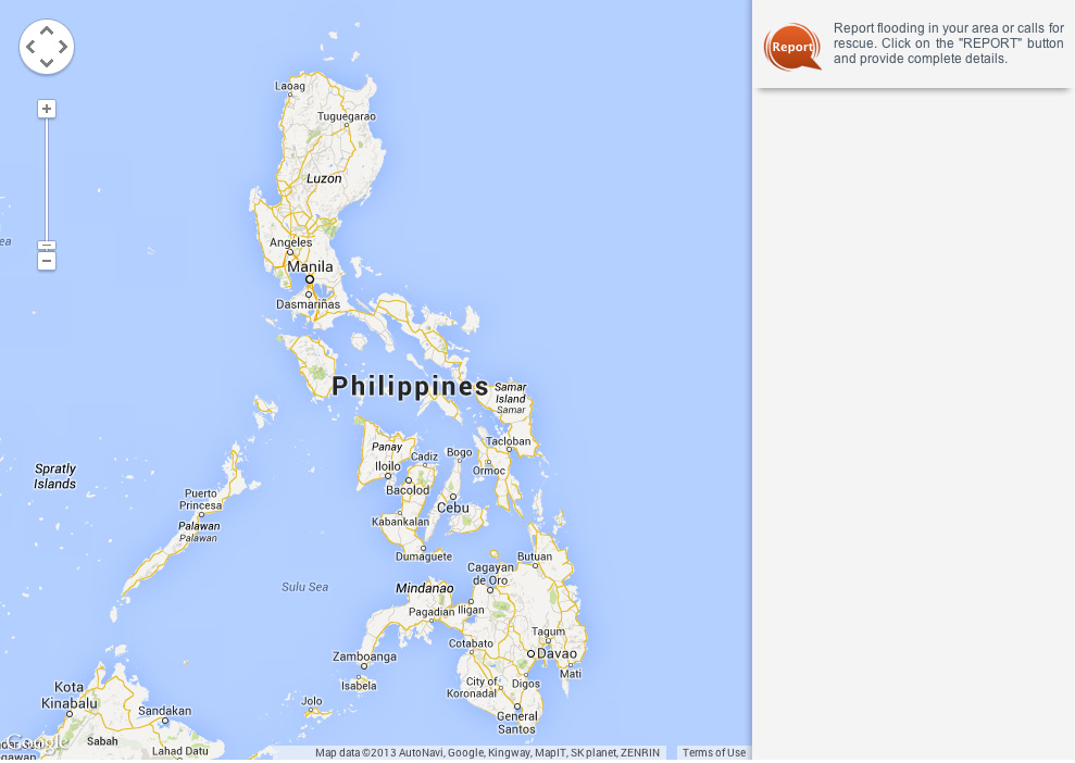
How to report
- Click on the
 button to open the reporting form.
 - Choose whether you want to report a flood or a rescue call out.
- Provide the complete details, including the exact location and short description of the report.
- You may also want to provide your contact details so Rappler or its volunteer mappers can verify the report.
- Click on submit to send the report to Rappler. It will be mapped instantly. Refresh your page to view it.
Take necessary precautions
Storm warning signal number 3 is currently hoisted over Cagayan (including the Calayan and Babuyan islands), Apayao, and Ilocos Norte, the state weather bureau said. These areas are experiencing winds of more than 101 km/h, and should expect heavy damage to agriculture, considerable damage to light to medium structures, and potential disruption in communications.
Signal number 2, meanwhile, is in effect over Batanes, Abra, Kalinga, Ilocos Sur, Mountain Province, and Isabela.
Flash floods and landslides are possible in areas with public storm warning signals, the bureau added.
Residents should take necessary precautions to ensure their safety. (READ: Time to prepare that disaster kit and #WeatherAlert: Mga dapat tandaan tuwing may bagyo)
Need rescue?
To report a person in need of rescue, tweet the full details (exact location, description of need) to @MovePH or post on the MovePH Facebook page using #RescuePH. For example: “Areas near Buntun Bridge in waist-deep water. Rescue needed.”
When reporting flood in your area, tweet @MovePH or post on the MovePH Facebook page using #FloodPH. Please include the exact location and estimated or known depth of the flood. For example: “Provident Village, Marikina in waist-deep water.”
You can also submit direct reports on the map by clicking on the Report button at the top right, as well as share the mapped reports via Twitter.
This information will be mapped by Rappler and a team of volunteers on the Project Agos map.
Rappler will provide the information on the map to the Office of Civil Defense, the secretariat of the National Disaster Risk Reduction and Management Council, and other responders for appropriate action.
Volunteers needed
As part of Project Agos – a collaboration of the government and civil society for disaster preparedness and response – Rappler is calling on citizens to help report flooded areas and situations where people are in need of rescue. This information will help first responders and disaster management agencies identify hot spots and people in need of help.
We’re also looking for volunteer map curators to help scan social media for flood and rescue reports and place them on the map. Map curators can also help flag spam reports or other false information on the map. Volunteers can sign up to staff designated shifts here. READ: PH+SocialGood Heroes wanted
The Philippine government and other volunteer groups are also monitoring the #FloodPH and #RescuePH hashtags. READ: Disaster response and volunteerism. – Rappler.com
Add a comment
How does this make you feel?
There are no comments yet. Add your comment to start the conversation.