SUMMARY
This is AI generated summarization, which may have errors. For context, always refer to the full article.
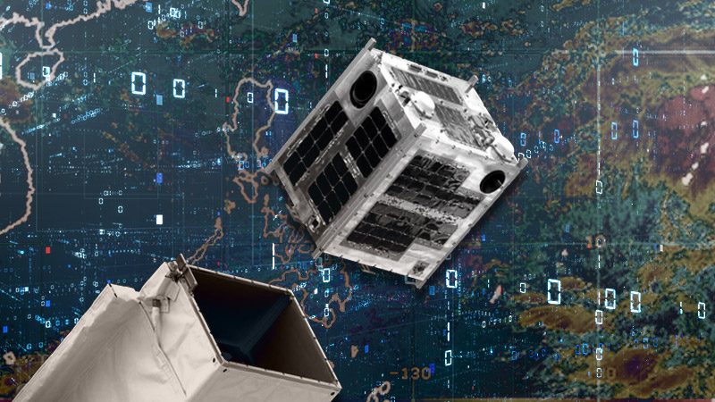
MANILA, Philippines – Researchers have estimated the height of a cloud top using Diwata-1, making the Philippines’ first microsatellite in space a valuable instrument toward enabling better forecasts of rainfall and thunderstorms.
The results of the study were published in the international peer-reviewed journal Scientific Reports last May 5, 2020. The study is a collaborative research among scientists from the University of the Philippines Diliman, the Department of Science and Technology, and the Hokkaido University in Japan.
The cloud top height is the distance between the topmost visible portion of a cloud and the Earth’s surface. Meteorologists estimate the vertical growth of clouds in forecasting thunderstorms and rain. If the clouds grow faster, it could lead to heavy rainfall.
The study shows that a single microsatellite like Diwata-1 can be used to obtain cloud top height estimates better than conventional satellites.
“The vertical resolution provided by Diwata-1 is indeed higher than conventional satellites, only measurements provided by emitting lasers could produce a higher vertical resolution,” said Ellison Castro, researcher and one of the authors of the paper.
Castro added that laser-emitting satellites are limited and only provide measurements below their track. These technologies are expensive and complex. By using a microsatellite, researchers can achieve greater aerial coverage.
How did the Diwata-1 capture such images?
Typical earth observation satellites such as Diwata-1 and Diwata-2 capture images by facing their cameras or sensors toward the Earth’s surface.
However, Diwata-1 had another imaging technique called “target-locking mode” where the satellite reorients itself as it captures images of a specific target like clouds. This mode allowed Diwata-1 to capture images of the same cloud from different angles.
For this study, Diwata-1’s Spaceborne-Multispectral Imager (SMI) and the High-Precision Telescope (HPT) cameras enabled the researchers to obtain higher resolution images. Using these cameras, the cloud top height measurements at 2-m or 40-m vertical resolution were obtained at 250 and 12.5 times, respectively, finer than currently available data on cloud top heights derived from other satellites and techniques.
With sets of images at hand, researchers were able to reconstruct a 3D model of the cloud. These images have finer vertical resolution than other satellite data, enabling more precise measurements.
For better weather forecasting
For a tropical country like the Philippines, accurate forecasting of rainfall and thunderstorms is important. Monitoring the cloud top height may be used to enhance early warning systems and forecast methodologies, further equipping the country for weather disturbances.
During the dry months of March to May, intense heat experienced during the day contributes to an increase in the convection in the atmosphere, enabling the development of thunderstorm clouds that may bring isolated heavy rains.
“Since microsatellites are much cheaper to build and can be developed faster (than conventional satellites), a constellation of microsatellites and denser ground receiving stations may help improve weather forecasting in the future,” said STAMINA4Space Program Leader Gay Jane Perez, who is also one of the authors of the study.
On April 6, 2020, Diwata-1 reentered the Earth’s atmosphere, ending its four-year service to the country. With this, Diwata-1’s estimation of cloud top height continues with Diwata-2, having been equipped with similar HPT and SMI cameras.
Since 2016, Diwata-1 had covered more than a third or 114,087 km2 of the Philippines’ land. Diwata-1 also orbited approximately 22,643 times around the Earth and passed by the Philippines roughly 4,800 times. – Rappler.com
Add a comment
How does this make you feel?
There are no comments yet. Add your comment to start the conversation.