SUMMARY
This is AI generated summarization, which may have errors. For context, always refer to the full article.
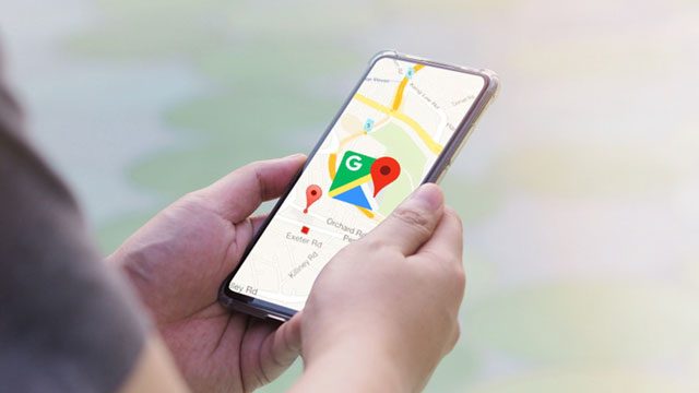
SAN FRANCISCO, USA – A new version of Google’s mapping service being rolled out will display pandemic-related transit alerts and let people know when buses or trains might be crowded.
Updated versions of the free app for smartphones powered by Apple or Google-backed Android software will also let drivers know about COVID-19 checkpoints or restrictions on their routes.
“We’re introducing features to help you easily find important information if you need to venture out, whether it’s by car or public transportation,” Google Maps product management director Ramesh Nagarajan said in a blog post.
Alerts about COVID-19 checkpoint notifications are to begin with crossings between the US and Canada or Mexico.
When people use Maps for trips by public transit, Google will provide available information regarding whether schedules are limited; masks must be worn, or crowds are expected.
“Having this information before and during your trip is critical for both essential workers who need to safely navigate to work and will become more important for everyone as countries around the world begin to reopen,” Nagarajan said.
The transit alerts are rolling out in Argentina, Australia, Belgium, Brazil, Britain, Colombia, France, India, Mexico, Netherlands, Spain, Thailand, and the US where information from local transit agencies is available.
People using Maps to navigate to medical facilities or COVID-19 testing centers will be shown reminders to verify eligibility and guidelines to avoid being turned away, according to Nagarajan.
Alerts for those traveling to medical facilities will be available in Indonesia, Israel, the Philippines, South Korea, and the US starting this week.
“We’re showing these alerts where we’ve received authoritative data from local, state and federal governments or from their websites,” Nagarajan said.
“And we are actively working with other agencies around the world to bring even more of this helpful data to users in Google Maps.”
Google last year added predictions about public transit crowds to Maps, and early this year marked its 15th anniversary with enhanced details about transit services.
“You can easily see the times when a transit station is historically more or less busy to plan your trip accordingly or you can look at live data showing how busy it is right now compared to its usual level of activity,” Nagarajan said.
“Rolling out over the next several weeks, these capabilities are powered by aggregated and anonymized data from users who have opted in.”
Google has more than one billion monthly active users for its app, and has mapped more than 220 countries and territories and offers live traffic updates in 171 countries. – Rappler.com
Add a comment
How does this make you feel?
There are no comments yet. Add your comment to start the conversation.