SUMMARY
This is AI generated summarization, which may have errors. For context, always refer to the full article.
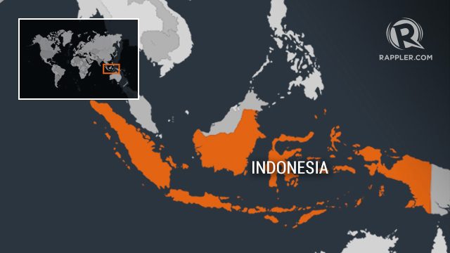
JAKARTA, Indonesia (UPDATED) – A strong 6.4-magnitude earthquake hit off the Indonesian island Sumatra on Sunday, August 13, but there was no tsunami risk, seismologists said as panicked residents fled their homes.
The quake hit at a depth of 35 km (22 miles) at 10:08 am (0308 GMT) 73 km west of Bengkulu, according to the United States Geological Survey.
“The earthquake was quite strong and shallow, it was felt all the way to Padang, West Sumatra, but there was no threat of a tsunami,” Mochammad Riyadi, an official at Indonesia’s meteorology and geophysics agency told Agence France-Presse.
He said officials were checking if there were any casualties or damage.
Bengkulu resident Neng Hasnah said the quake felt very strong for a few seconds, forcing her and her family members to flee her house.
“I was carrying my 7-month old granddaughter and I had to run, all the neighbous also ran outside their homes,” Hasnah told Agence France-Presse.
Indonesia sits on the Pacific “Ring of Fire” where tectonic plates collide, causing frequent seismic and volcanic activity.
An earthquake struck Indonesia’s western Aceh province in December 2016, killing more than 100 people, injuring many more and leaving tens of thousands homeless. – Rappler.com
Add a comment
How does this make you feel?
There are no comments yet. Add your comment to start the conversation.