SUMMARY
This is AI generated summarization, which may have errors. For context, always refer to the full article.
What’s the weather like in your area? Report the situation through Rappler’s Agos or tweet us at @rapplerdotcom.
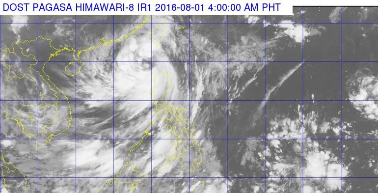
MANILA, Philippines (UPDATED) – Severe Tropical Storm Carina (international codename Nida) has maintained its strength as it moves away from northern Luzon early Monday morning, August 1.
As of 7am Monday, the center of Carina was located 270 kilometers northwest of Laoag City, with maximum sustained winds of up to 105 km/h near the center and gusts of up to 135 km/h, state weather bureau PAGASA said in its latest severe weather bulletin.
Tropical Cyclone Warning Signal Number 1 is currently up over the following area:
- Ilocos Norte
- Ilocos Sur
- Apayao
- Abra
- Northern part of Cagayan, including the Babuyan Group of Islands
Storm signals in other areas have been lifted.
Areas under storm warning signals should be on alert for possible floods, landslides, and storm surges.
Moderate to heavy rainfall is expected within the storm’s 500 km radius.
Seas around northern and central areas of Luzon, as well as the western and southern areas of Southern Luzon, will be rough to very rough.
Carina is moving northwest at a speed of 24 km/h, and it is expected to exit the Philippine Area of Responsibility within the day.
“The public and the disaster risk reduction and management council concerned are advised to take appropriate actions and watch for the next weather bulletin to be issued at 11am,” the bureau said. – Rappler.com
Add a comment
How does this make you feel?
There are no comments yet. Add your comment to start the conversation.