SUMMARY
This is AI generated summarization, which may have errors. For context, always refer to the full article.
What’s the weather like in your area? Report the situation through Rappler’s Agos or tweet us at @rapplerdotcom.
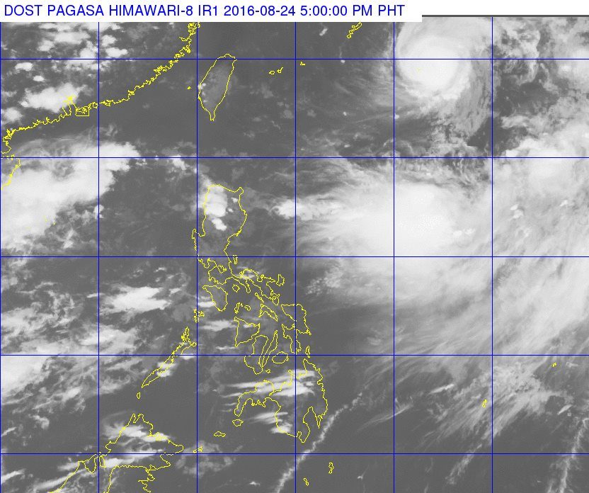
MANILA, Philippines – There is a typhoon in the Philippine Area of Responsibility (PAR), but it is the southwest monsoon which will directly bring rain to western parts of Southern Luzon and Western Visayas.
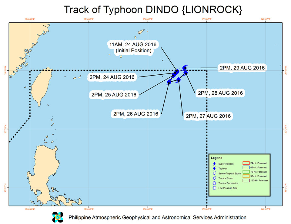
In its bulletin issued 5 pm on Wednesday, August 24, state weather bureau PAGASA said Typhoon Dindo (Lionrock) is 1,165 kilometers east northeast of Itbayat, Batanes. It is still moving south southwest at 7 kilometers per hour (km/h).
Dindo has strengthened, with maximum winds of 150 km/h and gustiness of up to 185 km/h.
Since the typhoon is too far from land, there are no areas under tropical cyclone warning signals.
Dindo will not make landfall as well. Based on its forecast track, it is expected to stay up north near the PAR boundary.
The southwest monsoon, meanwhile, will trigger more rain on Thursday, August 25.
Light to moderate rain and isolated thunderstorms are expected in Western Visayas as well as the provinces of Zambales, Bataan, and Palawan.
The rest of the country, including Metro Manila, will have just isolated rainshowers or thunderstorms.
PAGASA also said coastal waters throughout the country will be moderate to rough, with moderate to strong winds. – Rappler.com
Add a comment
How does this make you feel?
There are no comments yet. Add your comment to start the conversation.