SUMMARY
This is AI generated summarization, which may have errors. For context, always refer to the full article.
What’s the weather like in your area? Report the situation through Rappler’s Agos or tweet us at @rapplerdotcom.
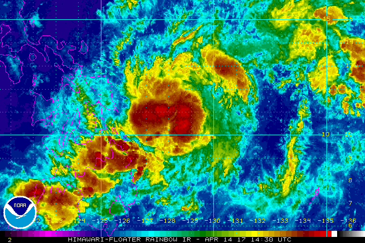
MANILA, Philippines – Tropical Depression Crising slightly slowed down late Friday evening, April 14, a day ahead of its expected landfall.
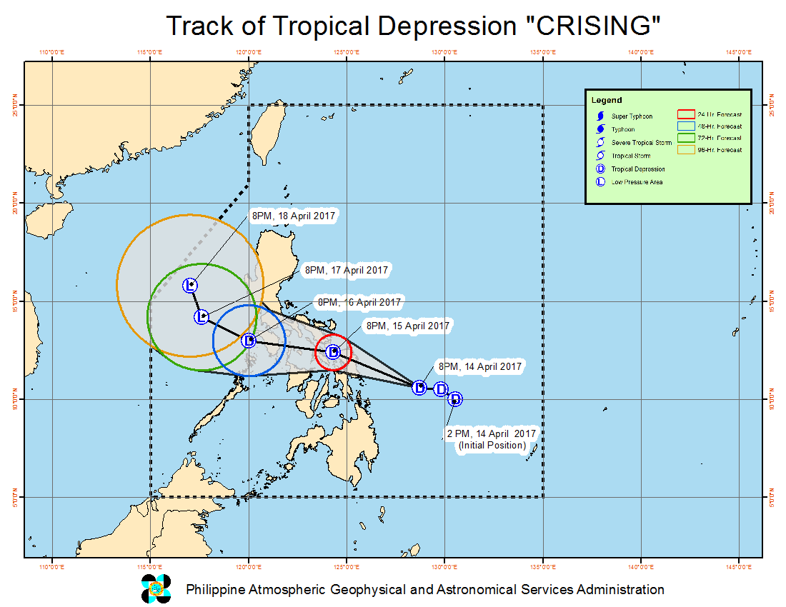
In a bulletin issued 11 pm on Good Friday, state weather bureau PAGASA said Crising is already 310 kilometers east of Guiuan, Eastern Samar. It is now moving west northwest at 20 kilometers per hour (km/h) from the previous 22 km/h.
It maintained its strength, with maximum winds of 45 km/h and gustiness of up to 55 km/h.
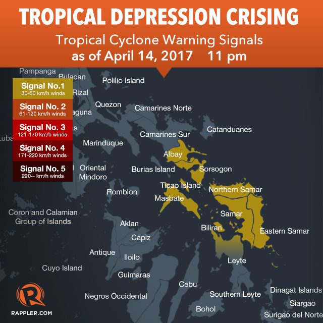
The following areas in Bicol and Eastern Visayas remain under signal number 1:
- Sorsogon
- Albay
- Masbate including Ticao Island
- Northern Samar
- Eastern Samar
- Samar
- Biliran
- northern part of Leyte
Moderate to heavy rain is expected within Crising’s 250-km diameter, which could bring flash floods and landslides.
PAGASA said the tropical depression is expected to make landfall in Samar on Saturday afternoon, April 15.
Private weather forecaster Weather Philippines had said in an 8 pm advisory that the landfall could be between 1 pm and 2 pm, but because Crising has since slowed down, it might be around mid-afternoon.
Based on the PAGASA forecast, Crising will not intensify into a tropical storm. It is expected to weaken into a low pressure area (LPA) by Monday, April 17.
– Rappler.com
Add a comment
How does this make you feel?
There are no comments yet. Add your comment to start the conversation.