SUMMARY
This is AI generated summarization, which may have errors. For context, always refer to the full article.
What’s the weather like in your area? Tweet us the situation: Use #weatheralert and tag @rapplerdotcom.
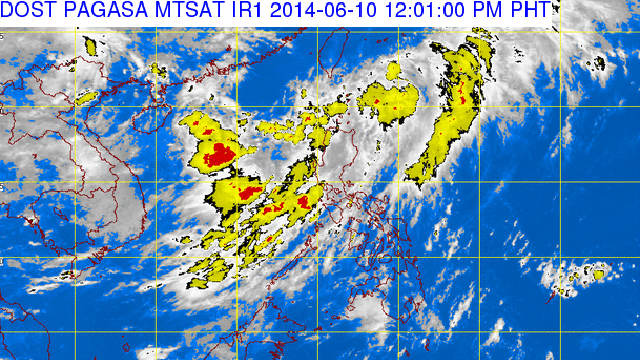
MANILA, Philippines – The low pressure area spotted in the vicinity of Ilocos region and the Batanes islands has developed into a tropical depression.
In their 11 am update, state weather bureau PAGASA named the storm “Ester.” As of 10 am, its center was located 120 kilometers north of Basco, Batanes.
Public storm signal no 1 has been called over the Batanes, Calayan and Babuyan group of islands. This means that these areas may experience winds with speeds of 30 to 60 kph in the next 36 hours.
With maximum winds moving at 55 kilometers per hour, it is expected to move northeast at 20 kilometers per hour.
By the morning of Wednesday, June 11, Ester is expected to be 540 km northeast of Basco. The storm is forecasted to leave the Philippine Area of Responsibility on Thursday morning. – Rappler.com
Add a comment
How does this make you feel?
There are no comments yet. Add your comment to start the conversation.