SUMMARY
This is AI generated summarization, which may have errors. For context, always refer to the full article.
What’s the weather like in your area? Tweet us the situation: Use #weatheralert and tag @rapplerdotcom
MANILA, Philippines (UPDATED) – A tropical storm approaching east of the Philippine Area of Responsibility (PAR) within the week may become a typhoon – or even a super typhoon – according to weather forecasters.
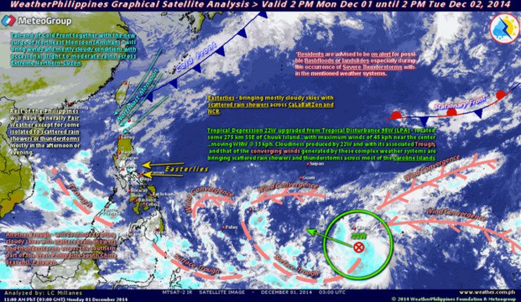
The storm, now with international name Hagupit, was spotted 2,325 kilometers east of Mindanao at 2 pm on Tuesday, December 2, by state weather bureau PAGASA.
There are two possible scenarios for the storm’s track, explained PAGASA Assistant Weather Services Chief Renito Paciente.
In one scenario, Hagupit will enter the Philippine Area of Responsibility on Thursday, December 4, and be given the name “Ruby.” By this time, it would have developed into a typhoon with windspeeds of 120 to 140 kilometers per hour (km/h).
It is then expected to make landfall on Sunday, December 7, when it may already register maximum sustained winds of 150 to 175 km/h. Such winds are strong enough to bring down trees, electric towers, cell sites and weak houses, said Paciente.
The storm still being far away, PAGASA is not able to say with certainty which specific areas will be affected. But Eastern Visayas, Bicol region and Northeastern Mindanao are the most likely to feel the brunt of the storm.
Independent weather forecasting agency Weather Philippines pointed to the possibility of Hagupit developing into a super typhoon, or a typhoon with winds of up to 220 to 240 km/h.
One of their forecasting models predicts the storm will have near super typhoon wind speeds on Saturday, December 6. On this day, winds may reach 205 to 215 km/h.
“But the chances of this reaching super typhoon strength are still there due to the warm sea surface temperature of the Philippine sea,” Weather Philippines Senior Typhoon Specialist Mike Padua told Rappler.
Warm temperatures of seas act as fuel for developing storms, making them stronger and more powerful.
In a second scenario, however, Hagupit may not even make landfall in the Philippines. Instead, it will curve northward and head towards the south of Japan.
Both PAGASA and Weather Philippines say it is too early to tell which scenario is more likely.
Storm surge expected
In the first scenario, the approaching storm is expected to generate storm surge of 3 to 4 meters (10 to 13 feet) high. In comparison, storm surges that hit Tacloban City and Iloilo during Typhoon Yolanda (Haiyan) were 4.5 to 5 meters (15 to 16.4 feet) high. (INFOGRAPHIC: Storm surge 101)
Areas within the track of the storm may also experience moderate to intense rains (5 to 20 milimeters per hour). Flash floods are possible in low-lying areas while mountainous areas should prepare for possible landslides, said Paciente.
Even in the second scenario, the eastern sections of Southern Luzon and Visayas can expect moderate to occasionally heavy rains (5 to 15 mm per hour).
In both scenarios, the eastern seaboard of Southern Luzon, Visayas and Northern Mindanao are likeley to become very dangerous for all types of sea vessels as the storm nears.
Paciente added that, with the first scenario, parts of the country will start to feel the effects of the storm on Friday.
There is also a chance that the northeast monsoon currently affecting parts of Luzon may weaken the weather system due to its cold winds.
Are we ready?
The Department of Science and Technology (DOST) gave assurances that its agencies are ready to give adequate warning in case the storm enters PAR as a typhoon.
Project NOAH Executive Director Mahar Lagmay said they are ready with advanced storm surge maps that will tell coastal communities where exactly the storm surge will reach and where it is safe to evacuate to.
This is aside from announcing the predicted storm surge height 48 hours before the storm’s landfall, a warning system that was first used during Typhoon Yolanda.
The advanced storm surge maps are prepared before any storm. Per coastal province, there are storm surge maps for 3-meter, 4-meter and 5-meter storm surge, said Lagmay.
Once Project NOAH announces the predicted storm surge height, LGUs can look for the appropriate map for their province in the Project NOAH website and use it to map danger zones and safe zones.
Lagmay said the storm surge maps are ready for 54 out of the 64 coastal provinces. He was unable to name the 10 provinces still without maps but he gave assurances that there are maps for all coastal provinces in the Yolanda corridor.
DOST Assistant Secretary Raymund Liboro said that LGUs should begin preparing their disaster risk reduction plans and rescue teams. Those near the sea should start preparing evacuation centers.
This will be the first time Project NOAH and PAGASA will release storm surge advisories which will warn against storm surge heights of two meters (Storm Surge Advisory 1), 3 meters (SSA 2), 4 meters (SSA 3) and 5 meters (SSA 4).
It will also be the first storm to be “chased” by PAGASA’s official storm chasers, said PAGASA Acting Deputy Director or Research and Development Flaviana Hilario.
The storm chasing team, equipped with a mobile radar, will be sent to the area where Hagupit may make landfall in order to gather more data on the weather system. – Rappler.com
Add a comment
How does this make you feel?
There are no comments yet. Add your comment to start the conversation.