SUMMARY
This is AI generated summarization, which may have errors. For context, always refer to the full article.
What’s the weather like in your area? Tweet us the situation: Use #weatheralert and tag @rapplerdotcom
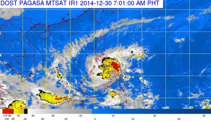
MANILA, Philippines – Seniang (international name Jangmi) is back to being a tropical storm and is approaching Cebu, according to state weather bureau PAGASA.
Seniang was spotted 35 kilometers southeast of Mactan, Cebu at 4 am on Tuesday, December 30, according to the agency’s 5 am bulletin.
On Monday night, it had been downgraded to a tropical depression, but at 4 am on Tuesday was packing 65-kilometer/hour winds (km/h) with gustiness of 80 km/h, which led to the upgrade. The storm was moving west northwest at a speed of 11 km/h.
Seniang will cause moderate to heavy rainfall (7.5 to 15 millimeters per hour) in areas within its 300-km diameter.
Residents in the Visayas and Mindanao provinces under Storm Signal No 1 and 2 should brace for landslides and flashfloods. (READ: #SeniangPH: Help map critical reports)
Those living near the coast may see 5-meter (16.4-foot) ocean waves. Fisherfolk are advised not to venture out to sea.
PAGASA declared Storm Signal Number 2 in the following provinces:
Visayas
- Bohol
- Siquijor
- Cebu
- Guimaras
- Negros Oriental
- Negros Occidental
PAGASA declared Storm Signal Number 1 in the following provinces:
Visayas
- Leyte
- Southern Leyte
- Camotes Island
- Iloilo
- Antique
- Capiz
- Aklan
Mindanao
- Camiguin
- Surigao del Norte
- Agusan del Norte
- Misamis Occidental
- Misamis Oriental
- Zamboanga del Norte

Concerned disaster risk reduction and management teams must take the appropriate actions and wait for the next bulletin to be released at 11 am, said PAGASA.
The agency forecasts that Seniang will be 235 km west northwest of Dumaguete City on Wednesday, December 31.
On Friday, January 2, the storm is likely to be 450 km southwest of Puerto Princesa City, or nearing the edge of the Philippine Area of Responsibility (PAR). – Rappler.com
Add a comment
How does this make you feel?
There are no comments yet. Add your comment to start the conversation.