SUMMARY
This is AI generated summarization, which may have errors. For context, always refer to the full article.
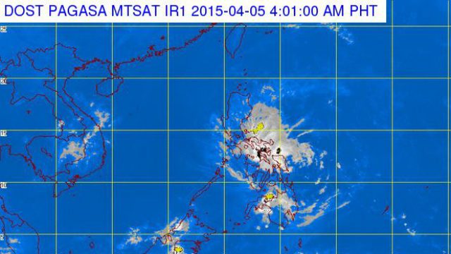
MANILA, Philippines – Chedeng (Maysak) has further weakened early Sunday morning, April 5, and is now a tropical depression, state weather bureau PAGASA said in its 5 am weather bulletin.
Chedeng currently maximum sustained winds of 55 km/h near the center, and was last located to be 95 km east southeast of Casiguran, Aurora – “almost stationary,” based on its previous location information.
From 19 areas, only 4 areas in Luzon remain under Public Storm Signal No. 1 (winds of 30-60 km/h expected in at least 36 hours):
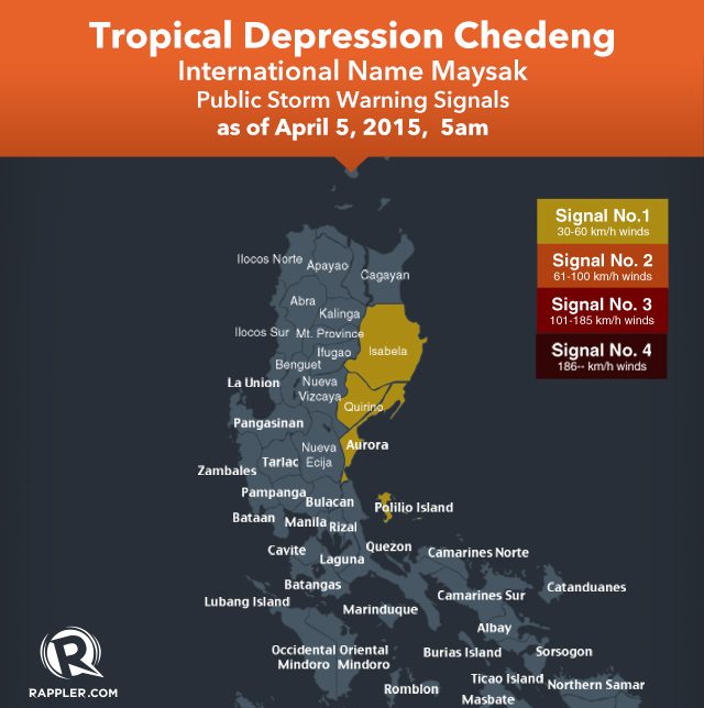
- Isabela
- Aurora
- Quirino
- Pollilo Islands
Effects of the wind under Signal No. 1:
- Breaking twigs and branches of trees
- Damage to rice crops in the flowering stage
- Possible partial unroofing or some nipa and cogon houses
According to the state weather bureau, estimated rainfall amount is from light to moderate within the 75 km radius of the tropical depression. (READ: How to use PAGASA’s color-coded rainfall advisory)
Chedeng is estimated to move east southeast of Casiguran, Aurora and be downgraded into a Low Pressure Area (LPA) by April 6, Monday.
PAGASA will release its next update on Chedeng at 11 am on Sunday. – Rappler.com
Add a comment
How does this make you feel?
There are no comments yet. Add your comment to start the conversation.