SUMMARY
This is AI generated summarization, which may have errors. For context, always refer to the full article.
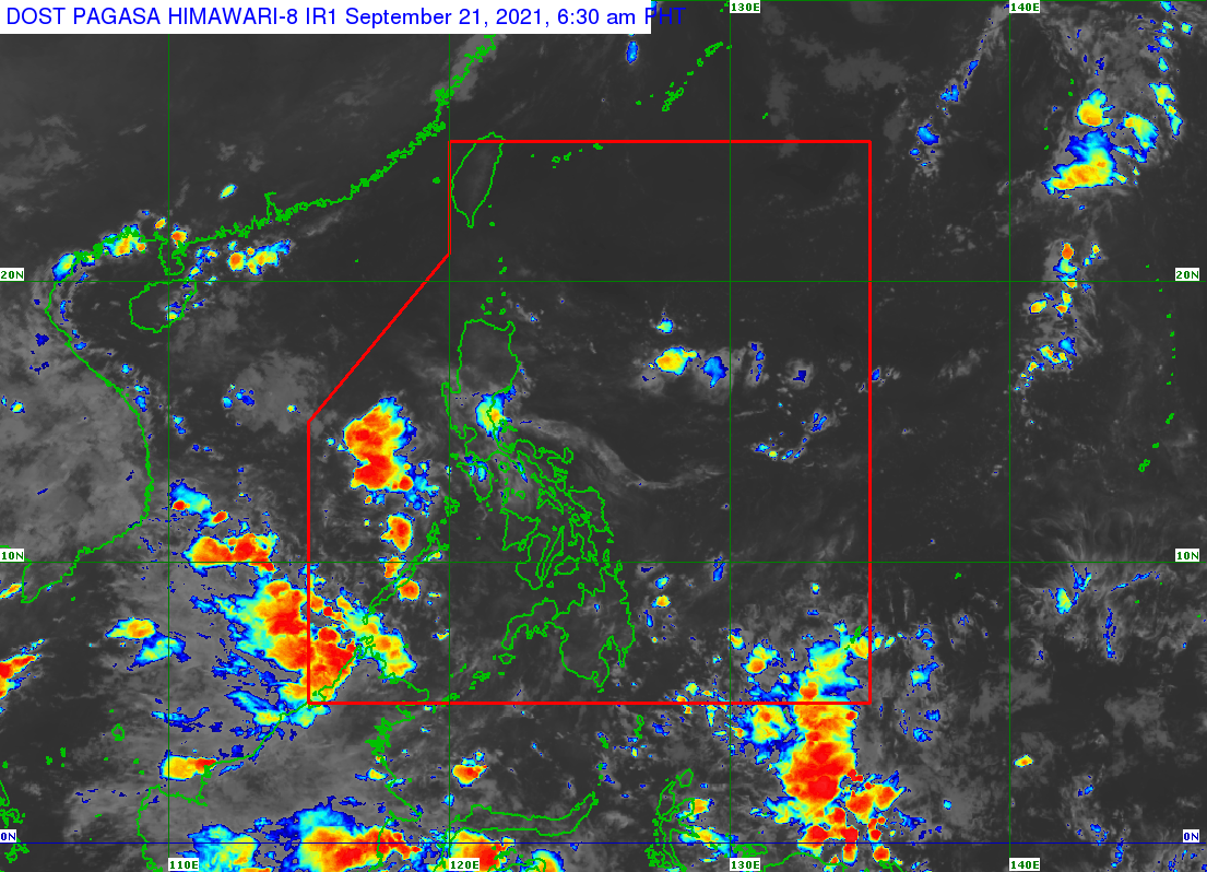
A low pressure area (LPA) that formed over the Sulu Sea will affect the regions of Mimaropa and Western Visayas on Tuesday, September 21.
As of 3 am on Tuesday, the LPA was located over the coastal waters of Dumaran, Palawan, heading for the West Philippine Sea.
The Philippine Atmospheric, Geophysical, and Astronomical Services Administration (PAGASA) said the LPA is embedded along the intertropical convergence zone (ITCZ), which has been causing rain in Southern Luzon, the Visayas, and Mindanao.
The ITCZ is a belt near the equator where the trade winds of the Northern Hemisphere and Southern Hemisphere meet, usually causing LPAs or thunderstorms. (READ: FAST FACTS: Tropical cyclones, rainfall advisories)
PAGASA Weather Specialist Ariel Rojas said the new LPA only has a slim chance of developing into a tropical cyclone. It may just dissipate within 24 hours.
No tropical cyclone is expected in the next two to three days, added Rojas.
But scattered rain showers and thunderstorms are expected in Mimaropa and Western Visayas on Tuesday due to the LPA and the ITCZ.
The weather bureau advised the two regions to watch out for possible flash floods or landslides during severe thunderstorms.
Meanwhile, the rest of the Philippines will only have isolated rain or thunderstorms, mostly in the afternoon or evening.
There have been 11 tropical cyclones inside the Philippine Area of Responsibility in 2021. The yearly average is 20. (READ: LIST: PAGASA’s names for tropical cyclones in 2021)
There is also a 70% to 80% chance of La Niña forming in the fourth quarter of 2021. – Rappler.com
Add a comment
How does this make you feel?
There are no comments yet. Add your comment to start the conversation.