SUMMARY
This is AI generated summarization, which may have errors. For context, always refer to the full article.
What’s the weather like in your area? Report the situation through Rappler’s Agos or tweet us at @rapplerdotcom.
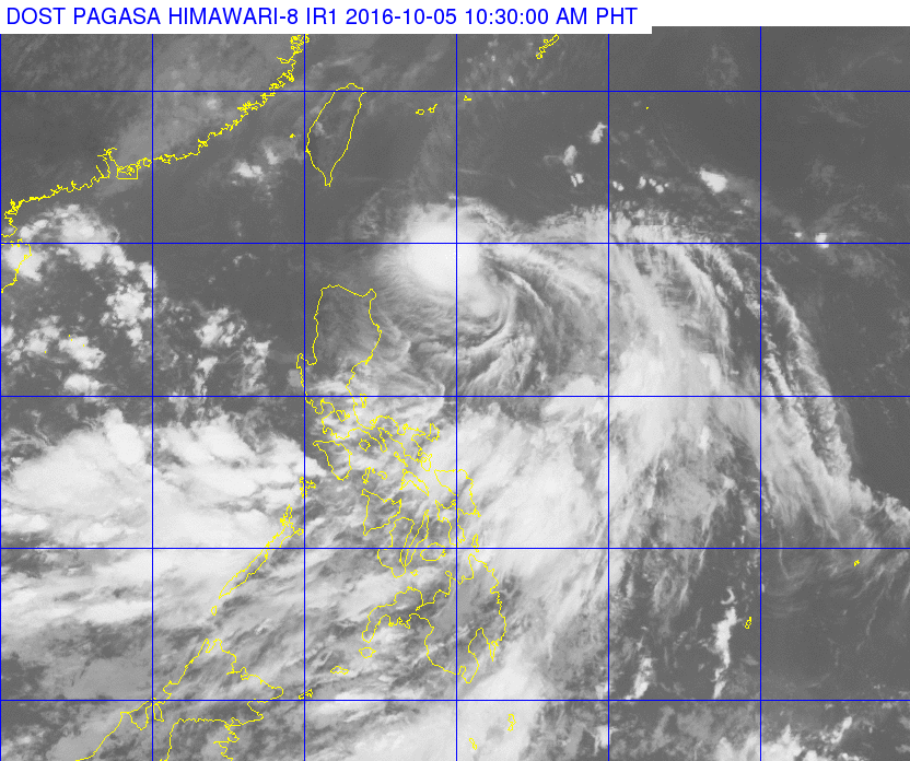
MANILA, Philippines – The low pressure area off Luzon intensified into a tropical depression very early Wednesday, October 5, and was given the local name Julian.
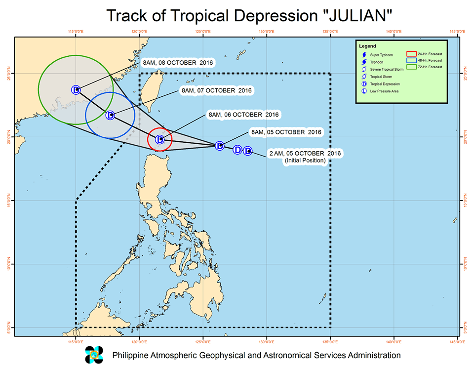
In its bulletin issued 11 am on Wednesday, state weather bureau PAGASA said Tropical Depression Julian was 465 kilometers east southeast of Basco, Batanes. It is moving west at 25 kilometers per hour (km/h), heading for extreme Northern Luzon.
Julian maintained its strength late Wednesday morning, with maximum winds of up to 45 km/h near the center and gustiness of up to 55 km/h.
Moderate to heavy rain is expected within the 300-km diameter of the tropical depression.
Signal number 1 is now raised over Batanes, northern Cagayan including the Babuyan Group of Islands, Apayao, and Ilocos Norte.
Batanes experienced the effects of 3 typhoons last month – Ferdie (Meranti), Gener (Malakas), and Helen (Megi). Relief and recovery operations are ongoing in the province.
Julian is expected to leave the Philippine Area of Responsibility (PAR) on Thursday, October 6.
– Rappler.com
Add a comment
How does this make you feel?
There are no comments yet. Add your comment to start the conversation.