SUMMARY
This is AI generated summarization, which may have errors. For context, always refer to the full article.
What’s the weather like in your area? Report the situation through Rappler’s Agos or tweet us at @rapplerdotcom.
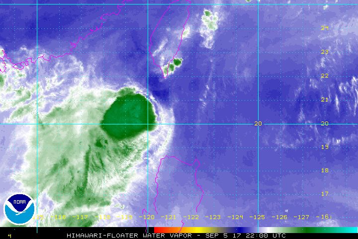
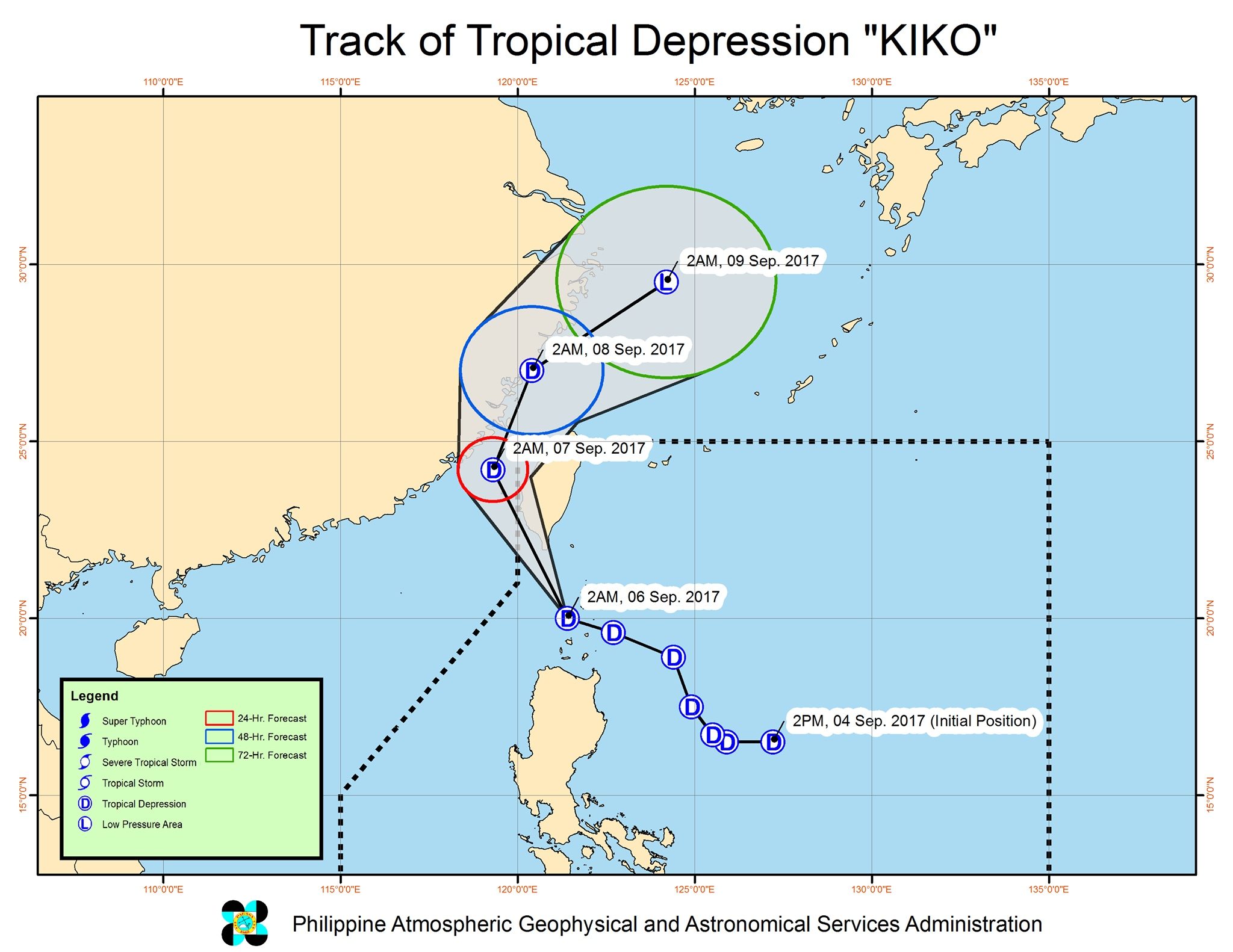
MANILA, Philippines – Tropical Depression Kiko maintained its strength as it began to move away from the country, crossing the Balintang Channel early Wednesday morning, September 6.
In a bulletin issued 5 am on Wednesday, PAGASA said Kiko is already 95 kilometers west of Basco, Batanes. It is now moving northwest at a slightly faster 20 kilometers per hour (km/h) from the previous 19 km/h.
It continues to have maximum winds of 55 km/h and gustiness of up to 65 km/h.
Signal number 1 remains raised over Batanes and the Babuyan Group of Islands.
Northern Luzon will also have more moderate to heavy rain due to the tropical depression. PAGASA warned that flash floods and landslides are still possible.
Light to moderate rain is also expected in Ilocos Norte and Ilocos Sur.
Because of the tropical depression, sea travel is risky in the seaboards of Northern Luzon.
Kiko is expected to leave the Philippine Area of Responsibility (PAR) on Wednesday evening.
– Rappler.com
Add a comment
How does this make you feel?
There are no comments yet. Add your comment to start the conversation.