SUMMARY
This is AI generated summarization, which may have errors. For context, always refer to the full article.
What’s the weather like in your area? Tweet us at @rapplerdotcom.
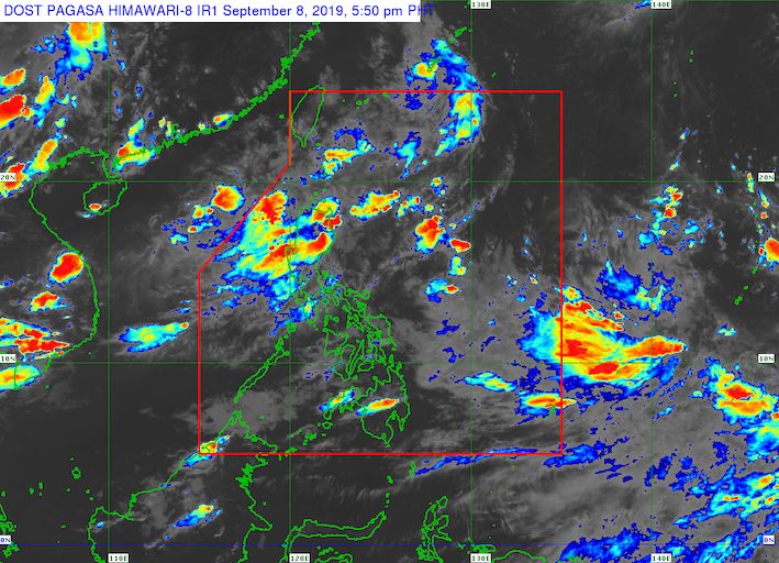
MANILA, Philippines – The southwest monsoon or hanging habagat is bringing rain to Northern Luzon and Central Luzon.
In a briefing past 5 pm on Sunday, September 8, the Philippine Atmospheric, Geophysical, and Astronomical Services Administration (PAGASA) warned that the southwest monsoon is triggering scattered rainshowers and thunderstorms.
In particular, these are the affected areas:
- Metro Manila
- Central Luzon
- Ilocos Region
- Cordillera Administrative Region
- Batanes
- Babuyan Group of Islands
- Rizal
There could be flash floods and landslides in those areas, especially during severe thunderstorms. (READ: FAST FACTS: Tropical cyclones, rainfall advisories)
Some areas have suspended classes for Monday, September 9. (READ: #WalangPasok: Class suspensions, Monday, September 9, 2019)
PAGASA is also monitoring a low pressure area (LPA) outside the Philippine Area of Responsibility, at 2,205 kilometers east of Southern Luzon.
This LPA might develop into a tropical depression, according to PAGASA Weather Specialist Aldczar Aurelio. Updates are expected in the coming days.
The Philippines has had 12 tropical cyclones in 2019, with 2 of those in September. (READ: LIST: PAGASA’s names for tropical cyclones in 2019)
The country gets an average of 20 tropical cyclones annually, but since 2019 is an El Niño year, only 14 to 18 tropical cyclones are expected.
Below is the estimated number of tropical cyclones from September to December:
- September – 2 to 4
- October – 2 or 3
- November – 1 or 2
- December – 0 or 1
PAGASA declared the start of the rainy season last June 14. – Rappler.com
Add a comment
How does this make you feel?
There are no comments yet. Add your comment to start the conversation.