SUMMARY
This is AI generated summarization, which may have errors. For context, always refer to the full article.
MANILA, Philippines – As Rene S. Santiago put it in his Thought Leaders piece for Rappler, traffic is the “new normal.” While we can’t completely avoid it, technology has given us ways to mitigate the trouble.
With the advent of smartphones, tablets and mobile applications, technology can inform its users, providing a bigger picture of the traffic situation that’s happening in a given area. Two free apps provide motorists with up-to-date road information: the MMDA app, and Waze.
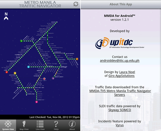
The MMDA application is itself less of a navigation device and more of a general traffic indicator and information repository for traffic laws.
The app has 3 different view types, each providing a different representation of traffic across nearly all of the Metro. System view outlines the metropolis’ major roads, assigning colors to them according to the severity of the traffic situation.
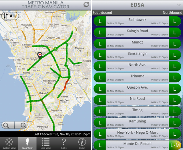
Map view basically does the same thing but color-codes the northbound-southbound traffic on a map of Manila.
List view, on the other hand, gives the names of the general areas, and then provides a color-coded indicator of the northbound and southbound lanes beside the names of the streets.
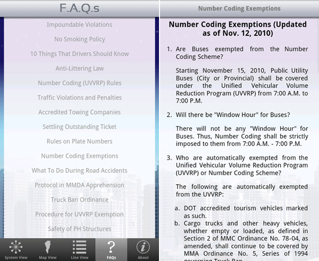
The MMDA app also comes with an FAQ (Frequently Asked Questions) page. It lists the various rules and policies for the road, along with some guides for sudden occurrences like accidents.
By virtue of its international nature, Waze uses GPS and crowdsourcing techniques to improve an individual’s understanding of the streets.
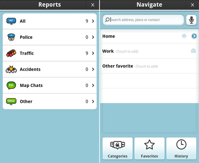
The GPS capabilities of Waze allow for location tracking on a 2D or 3D map (modifiable in the settings), updating your position and the reports around your location in near real-time. These incident reports pop up as icons on the maps.
Crowdsourcing factors in on the reports function of the app. As the GPS updates your location, the app adds new reports from Waze account holders in the Philippines who’ve sent in updates.
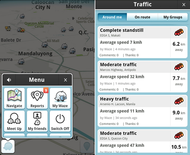
This social aspect of Waze makes it a resource that is powered by the people. From traffic notices to road hazards to accidents, Waze gives up-to-date information that is given by fellow motorists.
Individually, these apps provide valuable information to the Philippine community. Using them in tandem to better understand the rules of the road, the situations of the streets, and the experiences of people are the immediate area make them important mainstays in any motorist’s arsenal for traffic avoidance.
Just check the apps when you’re not driving so you avoid being a report on Waze yourself, alright?
Apps were tested on a Samsung Galaxy Tab PT-1010. – Rappler.com
Add a comment
How does this make you feel?
There are no comments yet. Add your comment to start the conversation.