SUMMARY
This is AI generated summarization, which may have errors. For context, always refer to the full article.
MANILA, Philippines – The Department of Budget and Management (DBM) will use image satellite data to monitor the speed and status of the implementation of high-value government projects.
In a press briefing on Wednesday, March 7, Budget Secretary Benjamin Diokno said that the DBM has partnered with the Department of Science and Technology to take advantage of data acquisition and technologies that the DOST has developed.
Dubbed as Project DIME (Digital Imaging for Monitoring and Evaluation), projects will be monitored through Light Detection and Ranging (LiDAR) technology which will show projects tagged on maps. LiDAR is a method that makes 3D representations of areas being surveyed.
The DBM will also take advantage of the Open Roads platform which can monitor the status of road project construction almost real-time. Satellites and drones will also be used in the program to cover areas which cannot be monitored through LiDAR, the DBM said.
Diokno said this will help whether budgets are spent correctly. It will also help counter “ghost projects.”
“Budget had increased exponentially since 10 years ago. We need to think of new ways to monitor projects. This is really cost-effective. With this technology, we will know whether these projects are being implemented or not,” the budget chief said in a mix of English and Filipino.
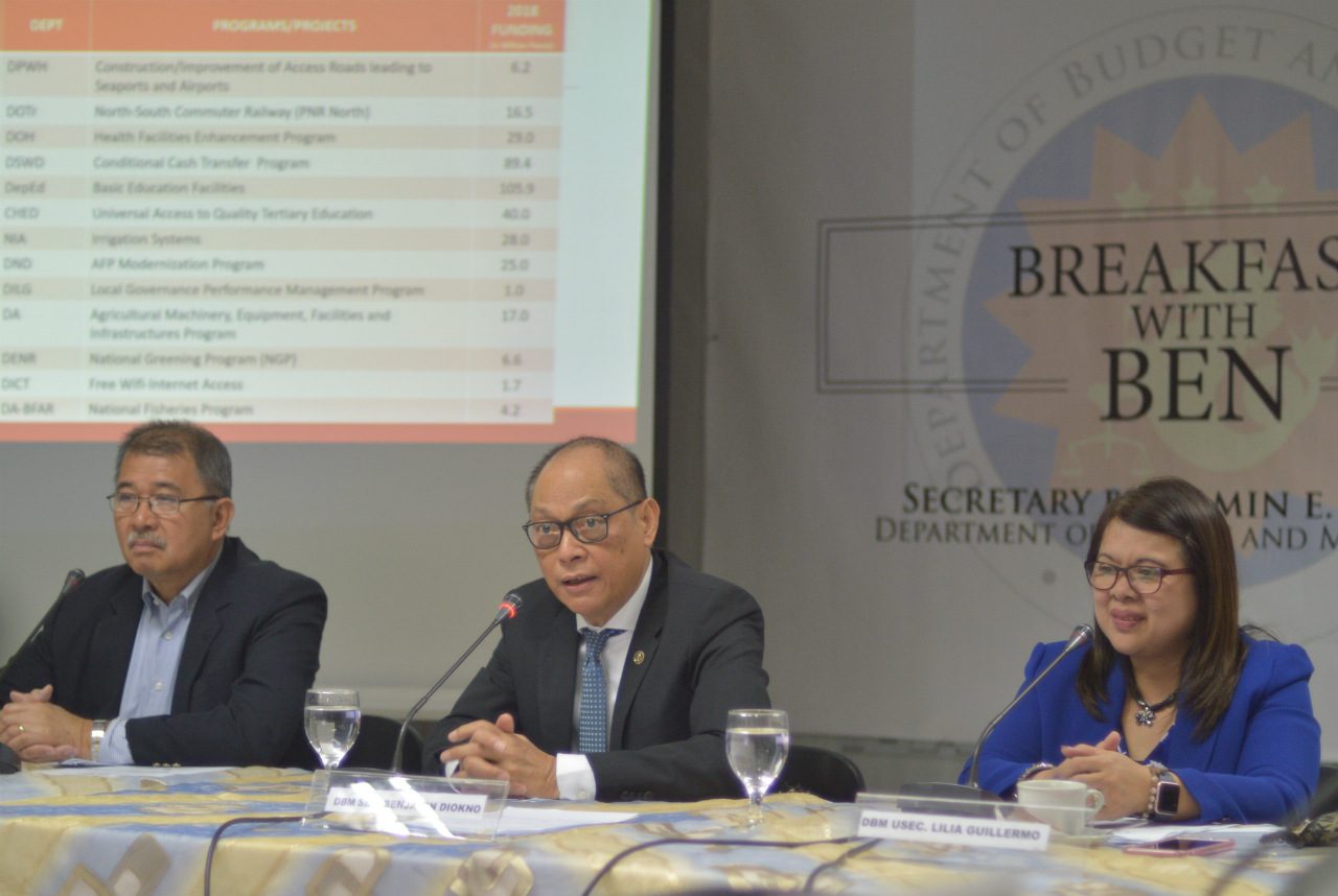
Among the high-value projects to be monitored are road construction, the North to South Commuter Railway, and the education department’s facilities program.
Existing technology
Digital imaging through satellite technologies is not new. LiDAR was used to create hazard maps for disaster risk reduction back in 2012.
DOST Secretary Fortunato dela Pena told reporters on Wednesday that local governments request for hazard data so they know where to build resettlements.
The Philippines is among the few countries that invested in LiDAR technology early on.
DBM Undersecretary Lilia Guillermo said the department is only taking advantage of the existing technology.
In 2016, the World Bank developed the Open Roads portal to help track the progress of road projects.
In a Rappler Talk interview, Commission on Audit (COA) chairman Michael Aguinaldo had said that taking advantage of such technologies can help monitor budget spending.– Rappler.com
Add a comment
How does this make you feel?
There are no comments yet. Add your comment to start the conversation.