SUMMARY
This is AI generated summarization, which may have errors. For context, always refer to the full article.
BAGUIO CITY, Philippines – Before you check out the Internet for the best place to eat bulalo in Baguio, or the easiest way to go to La Presa, check this out first.
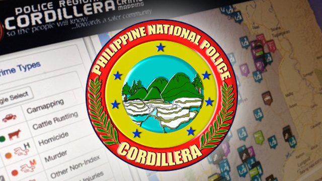
The Cordillera police office would like you to try out their Web GIS (geographic information system) on their website to check if where you would be eating your bulalo or the shortcut to Sto Tomas is safe.
PS Supt. Virgilio P. Laya, chief of the Regional Investigation and Detective Management Division, said that they have spruced up their Web GIS to be more up to date in showing what types of crime are committed in a certain place in a particular time.
“You can filter the crime category, province and date. You can even select a certain radius to be more specific,” Laya said.
He also said that the police station nearest to the radius you selected would pop out in the Web GIS, along with the police commander in charge and a phone number.
“This is important if you are in an emergency,” Laya said during the 8th Regional Advisory Council meeting at the Baguio City Police Office.
He said that the crime incidents within the radius are accurate with the default of two weeks. In other words, the latest incidents are two weeks and older.
“So far, all provinces, including Baguio City, are included in the crime mapping, except for Abra and Apayao,” he said. The scheme was started during the administration of past Cordillera police chief Benjamin Magalong in 2013.
Laya said that they have more than 300 crime registrars in the whole province. He added that they have conducted a two-day workshop to pinpoint crime registrars and teach them how to input the crime indexes, but that not all the provincial police officers were included. They plan to conduct a second workshop at the end of the month, if funding is found.
He said that the Web GIS has been accessed by 17,000 people and many of them are from other regions and countries, which shows that tourists are really interested in how safe the region is.
Under the Web GIS, data is stored in a spreadsheet which generates location-based information, which is then transmitted to the Quantum Geographic Information System where incidents are plotted on a map, along with the crime hotspots. – Rappler.com
Add a comment
How does this make you feel?
There are no comments yet. Add your comment to start the conversation.