SUMMARY
This is AI generated summarization, which may have errors. For context, always refer to the full article.
What’s the weather like in your area? Report the situation through Rappler’s Agos or tweet us at @rapplerdotcom.
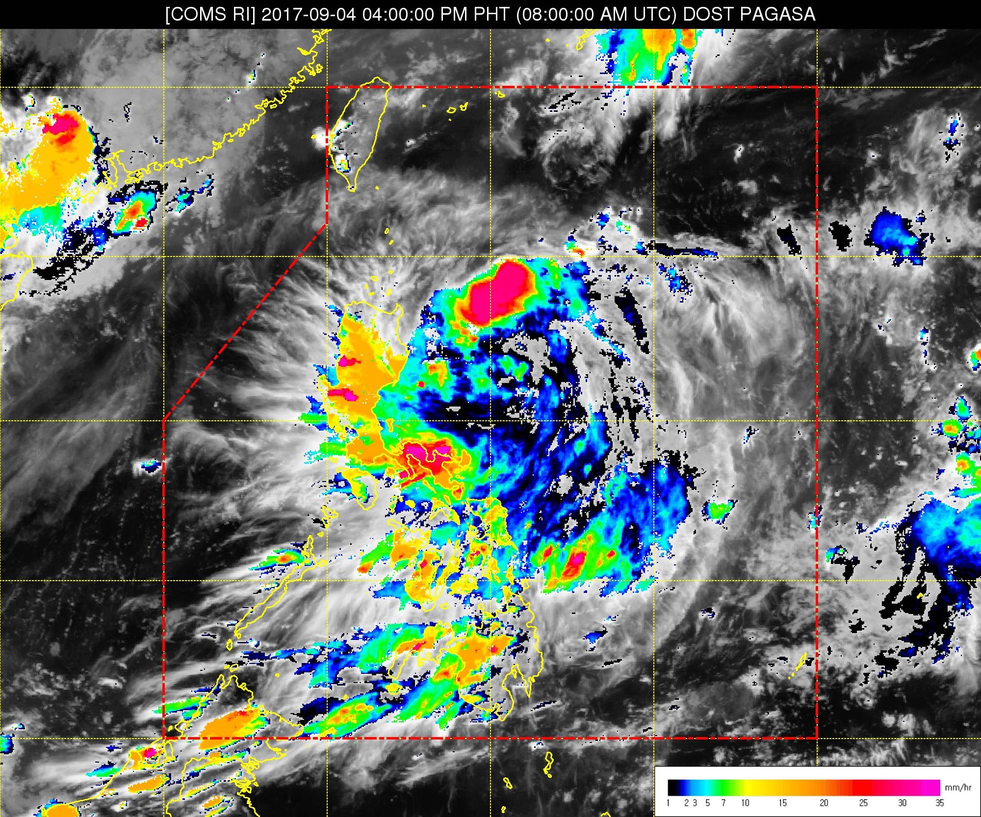
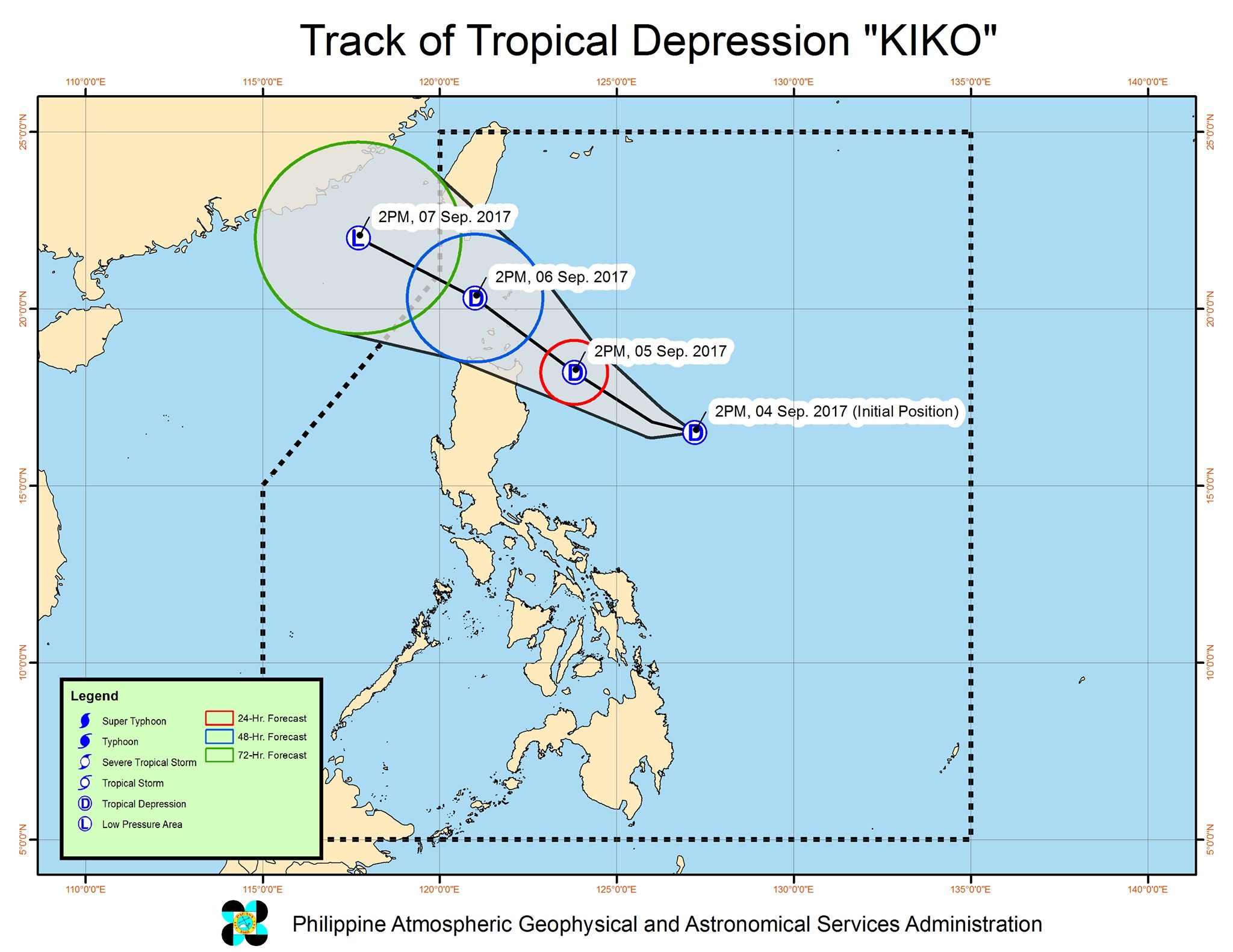
MANILA, Philippines – The low pressure area (LPA) that state weather bureau PAGASA has been monitoring intensified into a tropical depression on Monday afternoon, September 4. It has been given the local name Kiko.
In a bulletin issued 5 pm on Monday, PAGASA said Kiko is already 490 kilometers east of Casiguran, Aurora, moving west northwest at 15 kilometers per hour (km/h).
It has maximum winds of 55 km/h and gustiness of up to 65 km/h.
There are no areas under tropical cyclone warning signals, so far, but PAGASA said signal number 1 might be raised over the Babuyan Group of Islands and northern Cagayan on Monday evening.
In a news briefing late Monday afternoon, PAGASA warned that Kiko would bring moderate to heavy rain in Northern Luzon beginning Tuesday evening, September 5.
There will be moderate to heavy rain in Cagayan, Isabela, Aurora, Quezon, Camarines Sur, and Catanduanes.
Light to moderate rain is also expected in the rest of Luzon as well as the Visayas, Northern Mindanao, and Zamboanga Peninsula.
Compared to previous tropical cyclones which were stronger, however, Kiko is not seen to have a major effect on the southwest monsoon.
Kiko is expected to leave the Philippine Area of Responsibility (PAR) either Wednesday evening, September 6, or early Thursday morning, September 7.
PAGASA said up to 4 tropical cyclones may enter PAR in September. – Rappler.com
Add a comment
How does this make you feel?
There are no comments yet. Add your comment to start the conversation.