SUMMARY
This is AI generated summarization, which may have errors. For context, always refer to the full article.
What’s the weather like in your area? Report the situation through Rappler’s Agos or tweet us at @rapplerdotcom.
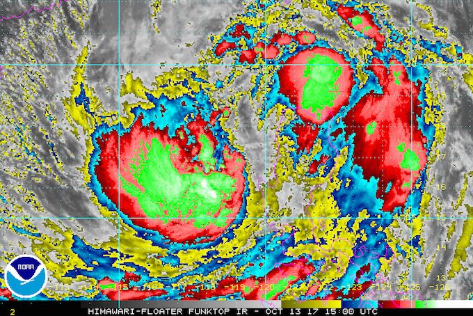
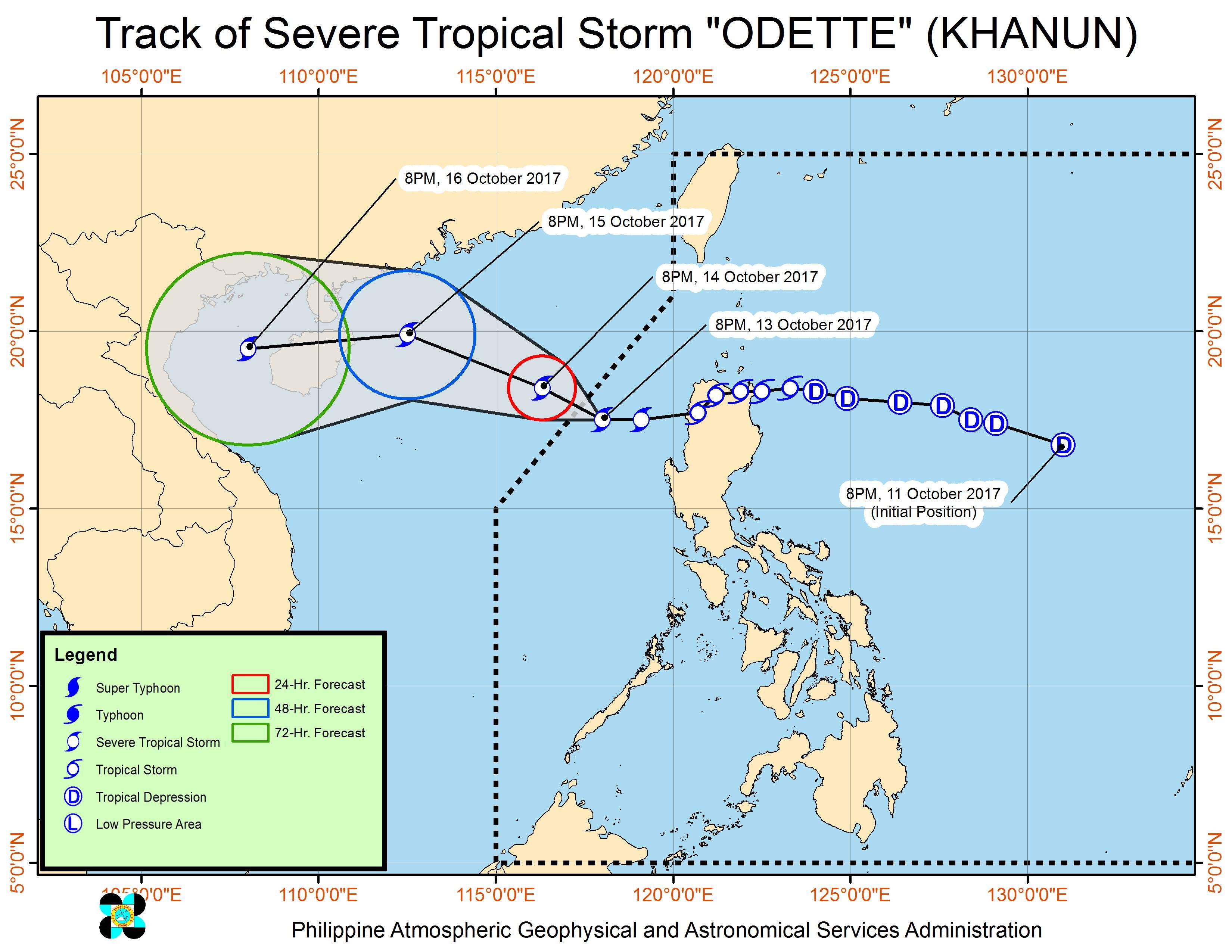
MANILA, Philippines – Severe Tropical Storm Odette (Khanun) was already crossing the West Philippine Sea on Friday evening, October 13, on its way out of the Philippine Area of Responsibility (PAR). Rain, however, is still expected in parts of Luzon.
In a bulletin issued 11 pm on Friday, state weather bureau PAGASA said Odette is already 260 kilometers west of Sinait, Ilocos Sur, moving west northwest at a slower 12 kilometers per hour (km/h) from the previous 15 km/h.
The severe tropical storm maintained its strength, with maximum winds of 90 km/h and gustiness of up to 113 km/h.
Odette earlier made landfall in Santa Ana, Cagayan at 12:40 am on Friday. (READ: FAST FACTS: Tropical cyclones, rainfall advisories)
Only 3 areas remain under signal number 1:
- Ilocos Sur
- La Union
- Pangasinan
Provinces under signal number 1 should continue to watch out for possible floods and landslides.
Aside from those areas, PAGASA said Metro Manila, Central Luzon, and Calabarzon, as well as Oriental Mindoro and Occidental Mindoro, will experience moderate to heavy rain.
The rest of Luzon, the Visayas, and Zamboanga Peninsula will have light to moderate rain.
Sea travel also remains risky in the seaboards of Northern Luzon, the western seaboard of Central Luzon, and the western and southern seaboards of Southern Luzon.
Odette is expected to leave the Philippine Area of Responsibility (PAR) on Saturday morning, October 14.
Weather conditions will improve beginning Saturday. – Rappler.com
Add a comment
How does this make you feel?
There are no comments yet. Add your comment to start the conversation.