SUMMARY
This is AI generated summarization, which may have errors. For context, always refer to the full article.
What’s the weather like in your area? Report the situation through Rappler’s Agos or tweet us at @rapplerdotcom.
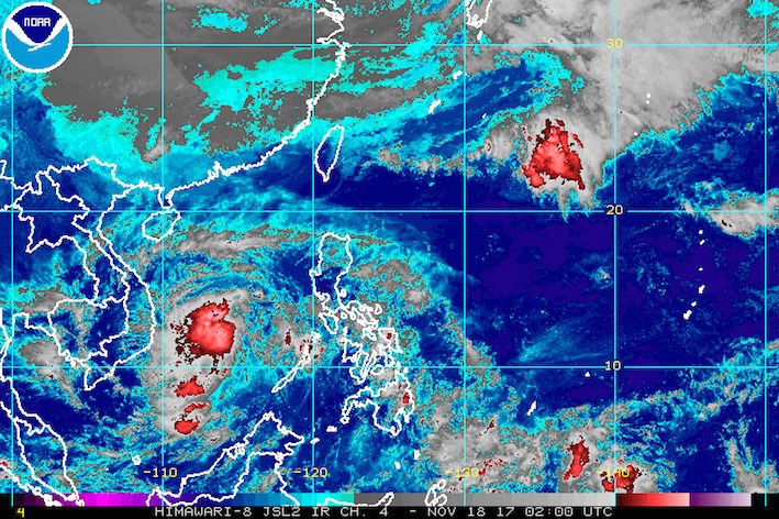
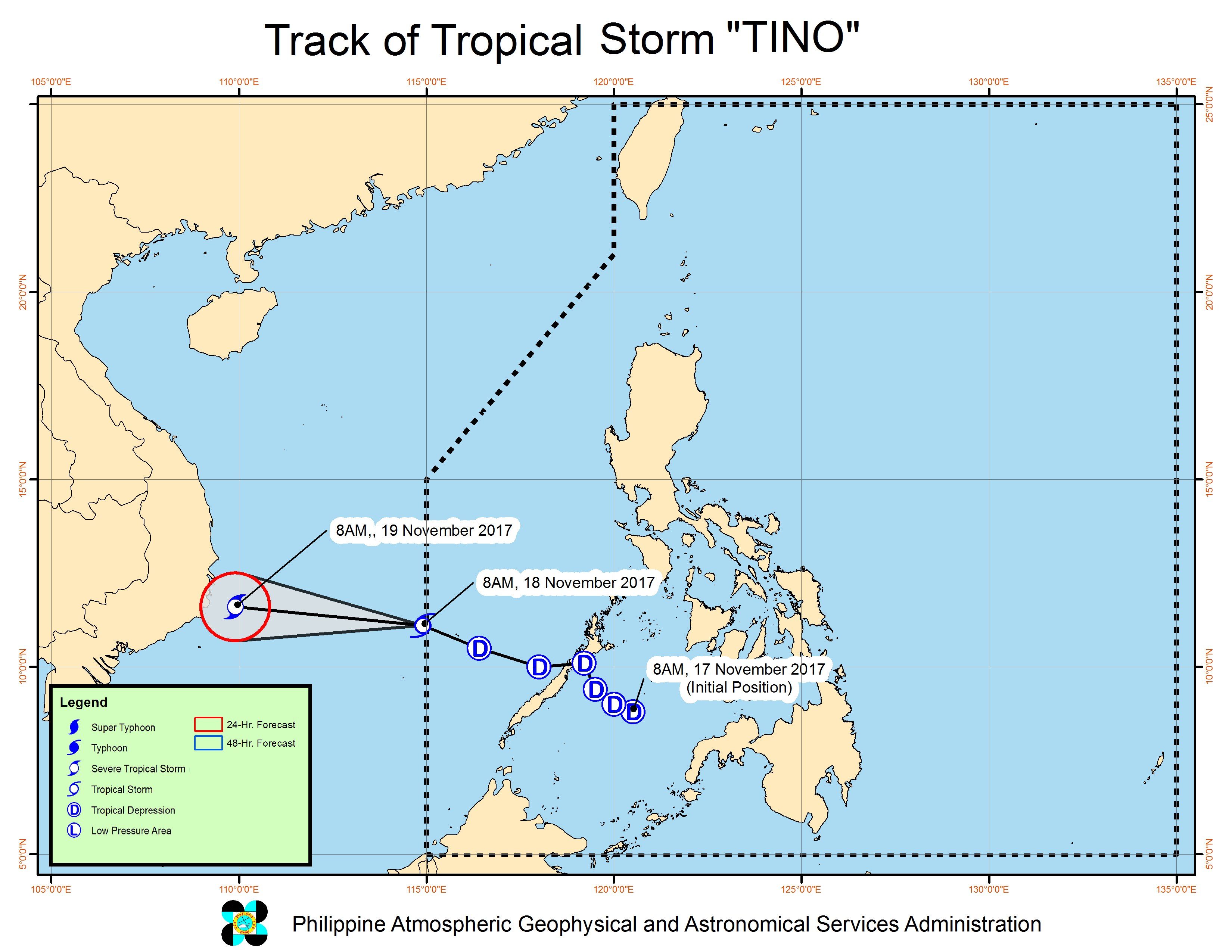
MANILA, Philippines – Tropical Depression Tino intensified into a tropical storm as it left the Philippine Area of Responsibility (PAR) on Saturday morning, November 18.
In a bulletin issued 10 am on Saturday, state weather bureau PAGASA said Tino is already 70 kilometers east northeast of Pag-asa Island in the West Philippine Sea, moving west northwest at a slower 20 kilometers per hour (km/h) from the previous 28 km/h.
The tropical storm has maximum winds of 65 km/h and gustiness of up to 90 km/h. (READ: FAST FACTS: Tropical cyclones, rainfall advisories)
Earlier, PAGASA said the northeast monsoon is affecting Northern Luzon. Ilocos, Cordillera, and Batanes will have light rain on Saturday.
The rest of the country, including Metro Manila, will only have isolated rainshowers or thunderstorms. – Rappler.com
Add a comment
How does this make you feel?
There are no comments yet. Add your comment to start the conversation.