SUMMARY
This is AI generated summarization, which may have errors. For context, always refer to the full article.
What’s the weather like in your area? Report the situation through Rappler’s Agos or tweet us at @rapplerdotcom.
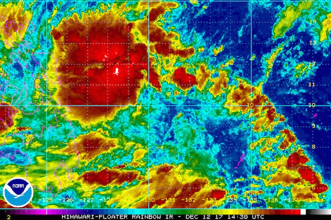
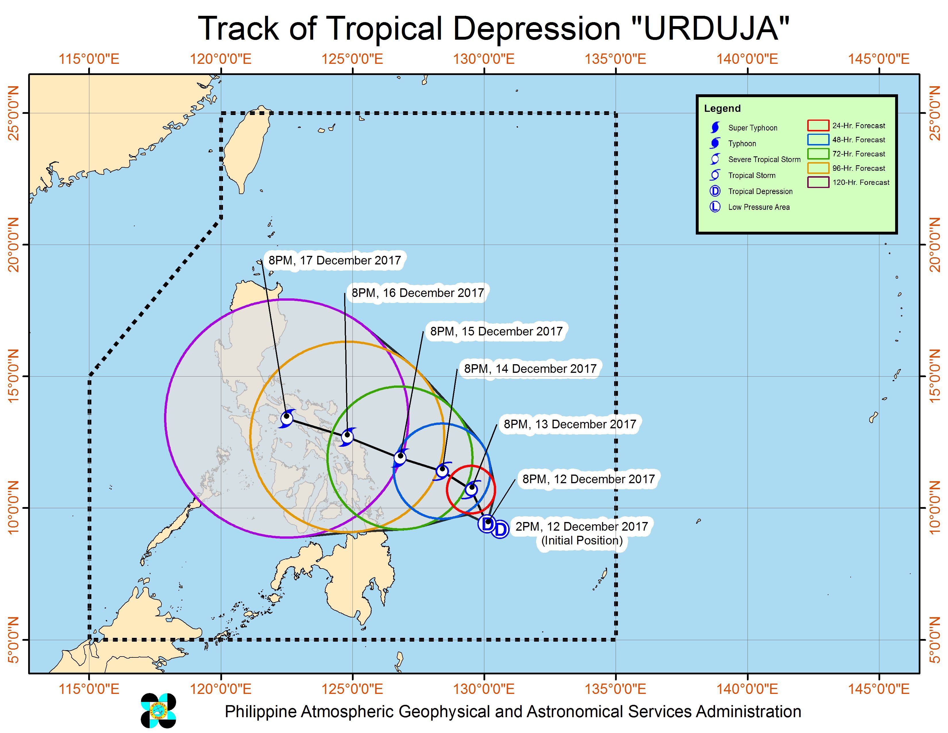
MANILA, Philippines – Tropical Depression Urduja maintained its strength on Tuesday evening, December 12, as it continued moving over the Philippine Sea.
In a bulletin issued 11 pm on Tuesday, state weather bureau PAGASA said Urduja is already 415 kilometers east northeast of Hinatuan, Surigao del Sur, still moving north northwest at a very slow 6 kilometers per hour (km/h).
The tropical depression continues to have maximum winds of 55 km/h and gustiness of up to 65 km/h. (READ: EXPLAINER: How tropical cyclones form)
PAGASA warned that Urduja could still strengthen into a tropical storm within the next 36 hours.
There are no areas under tropical cyclone warning signals yet, but Urduja will bring moderate to heavy rain within its 300-kilometer diameter. In particular, the Visayas, Bicol, and Caraga will be affected. (READ: FAST FACTS: Tropical cyclones, rainfall advisories)
Fishermen and others with small sea vessels are also advised not to venture out into the eastern seaboards of Bicol, Eastern Visayas, and Caraga, as waters will be moderate to rough.
– Rappler.com
Add a comment
How does this make you feel?
There are no comments yet. Add your comment to start the conversation.