SUMMARY
This is AI generated summarization, which may have errors. For context, always refer to the full article.
What’s the weather like in your area? Report the situation through Rappler’s Agos or tweet us at @rapplerdotcom.
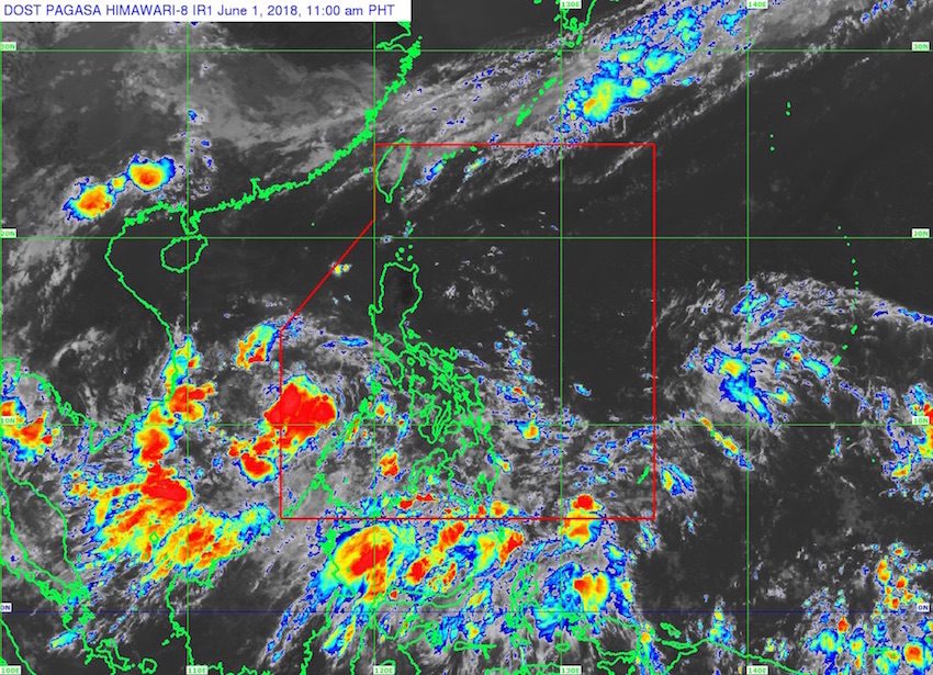
MANILA, Philippines – State weather bureau PAGASA is monitoring two low pressure areas (LPAs) inside the Philippine Area of Responsibility (PAR).
In a bulletin issued 11 am on Friday, June 1, PAGASA said one LPA is located 325 kilometers west of Puerto Princesa City, Palawan.
This LPA off Palawan will continue to bring moderate to heavy rain to the province. Residents should be on alert for possible flash floods and landslides.
The other LPA, meanwhile, is located 680 kilometers east southeast of Hinatuan, Surigao del Sur, still far from land.
Both LPAs could develop into tropical depressions within the next 48 hours, or this coming weekend. They would be given the local names Domeng and Ester if they become tropical depressions. (READ: LIST: PAGASA’s names for tropical cyclones in 2018)
PAGASA earlier said it might declare the official start of the rainy season between June 4 and 14.
For the onset of the rainy season to be declared, the requirement is 5 straight days of rain generating a total amount of at least 25 millimeters (mm) of rainfall. These 5 days must also include 3 straight days of at least 1 mm of rainfall. (READ: FAST FACTS: Tropical cyclones, rainfall advisories) – Rappler.com
Add a comment
How does this make you feel?
There are no comments yet. Add your comment to start the conversation.