SUMMARY
This is AI generated summarization, which may have errors. For context, always refer to the full article.
What’s the weather like in your area? Report the situation through Rappler’s Agos or tweet us at @rapplerdotcom.
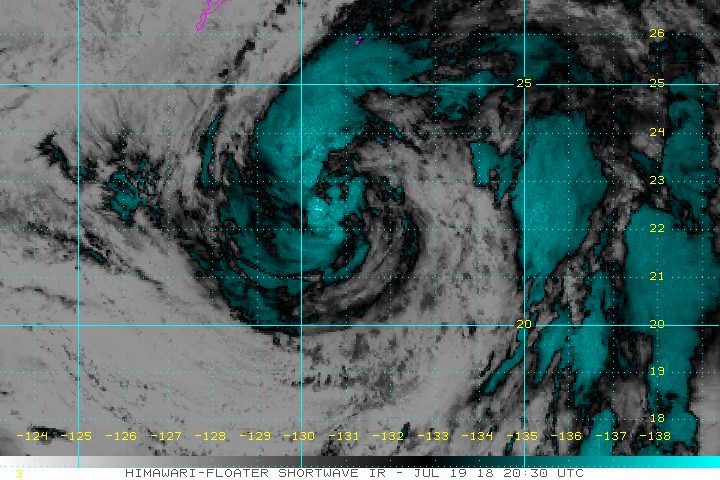
MANILA, Philippines – Tropical Storm Inday (Ampil) slightly intensified again before dawn on Friday, July 20, as it continued to enhance the southwest monsoon or hanging habagat.
In a bulletin issued 4 am on Friday, state weather bureau PAGASA said Inday now has maximum winds of 85 kilometers per hour (km/h) from the previous 80 km/h and gustiness of up to 105 km/h from the previous 95 km/h.
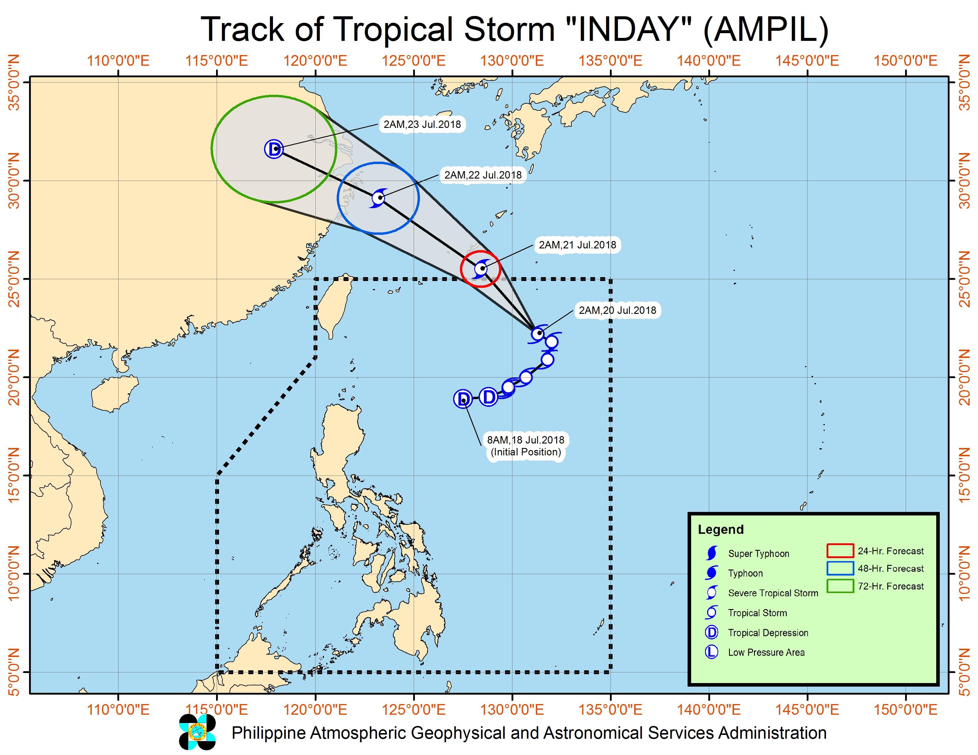
The tropical storm is already 995 kilometers east northeast of Basco, Batanes, moving northwest at 15 km/h.
Inday is not expected to make landfall in the Philippines, and there are no areas under tropical cyclone warning signals. It will, however, continue enhancing the southwest monsoon.
More monsoon rain is expected in the Ilocos Region, the Cordillera Administrative Region, Bataan, Zambales, Batanes, and the Babuyan Group of Islands. The frequency will be intermittent or at irregular intervals.
There are also occasional rainshowers in the rest of Luzon, ranging from light to heavy, due to the southwest monsoon. The rain could persist until Saturday, July 21.
In Metro Manila, the rain became particularly heavy early Friday, triggering orange rainfall advisories. Orange means intense rainfall and flooding is threatening in low-lying areas.
Residents of Luzon, especially those in low-lying or in mountainous areas, should be on alert for possible flash floods and landslides. (READ: FAST FACTS: Tropical cyclones, rainfall advisories)
Class suspensions for Friday, July 20, can be found here.
The Visayas and Mindanao, which are not affected by the southwest monsoon, will only have isolated rains or thunderstorms.
PAGASA earlier warned that sea travel was risky in the eastern seaboard of Northern Luzon and the seaboards of Central Luzon due to the combined effects of Inday and the southwest monsoon.
Based on its latest forecast track, Inday is expected to leave the Philippine Area of Responsibility (PAR) on Saturday morning.
Inday is the Philippines’ 9th tropical cyclone for 2018. The country usually gets an average of 20 tropical cyclones per year. (READ: LIST: PAGASA’s names for tropical cyclones in 2018)
PAGASA declared the start of the rainy season last June 8. – Rappler.com
Add a comment
How does this make you feel?
There are no comments yet. Add your comment to start the conversation.