SUMMARY
This is AI generated summarization, which may have errors. For context, always refer to the full article.
What’s the weather like in your area? Report the situation through Rappler’s Agos or tweet us at @rapplerdotcom.
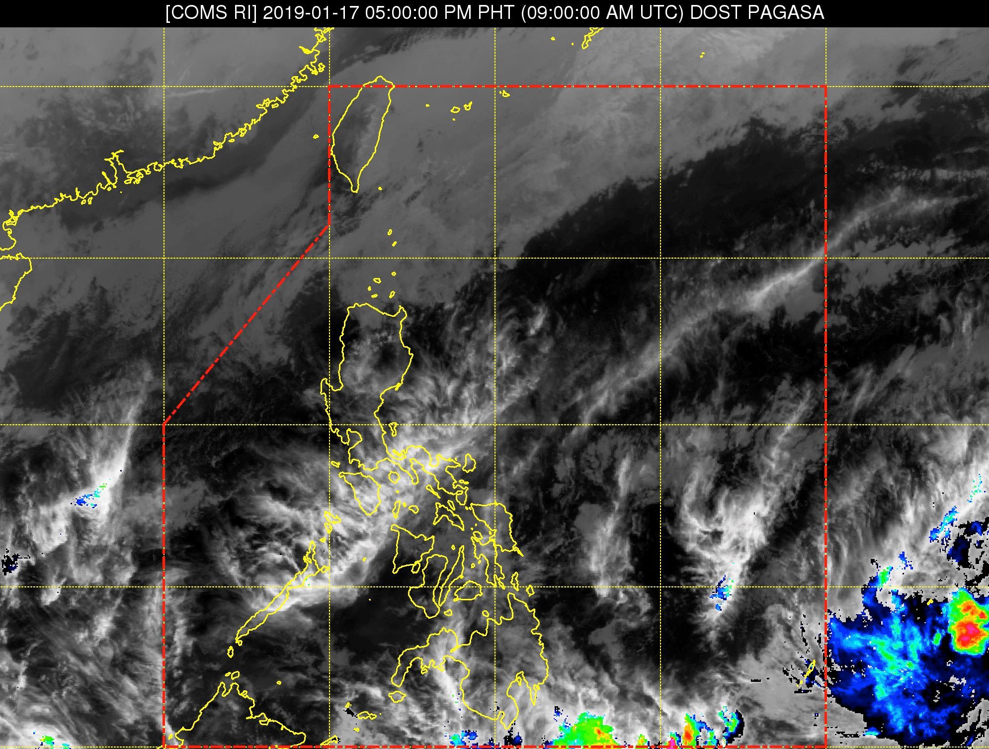
MANILA, Philippines – The low pressure area (LPA) outside the Philippine Area of Responsibility (PAR) which forecasters have been monitoring all week is likely to maintain its status upon entry into PAR.
In a briefing past 4 pm on Thursday, January 17, the Philippine Atmospheric, Geophysical, and Astronomical Services Administration (PAGASA) said the LPA only has a slim chance of developing into a tropical depression.
At the moment, the LPA is located 1,795 kilometers east of Mindanao. It might enter PAR on Friday, January 18, or possibly this weekend, still classified as an LPA.
But if the LPA develops into a tropical depression inside PAR, it would become the Philippines’ first tropical cyclone for 2019 and would be given the local name Amang. (READ: LIST: PAGASA’s names for tropical cyclones in 2019)
The Philippines gets an average of 20 tropical cyclones per year. The forecast for January is zero to one tropical cyclone.
Meanwhile, the northeast monsoon or hanging amihan will affect the country on Friday.
There will be light rain in some areas, but PAGASA does not expect any “significant impact.” (READ: FAST FACTS: Tropical cyclones, rainfall advisories) – Rappler.com
Add a comment
How does this make you feel?
There are no comments yet. Add your comment to start the conversation.