SUMMARY
This is AI generated summarization, which may have errors. For context, always refer to the full article.
What’s the weather like in your area? Report the situation through Rappler’s Agos or tweet us at @rapplerdotcom.
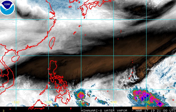
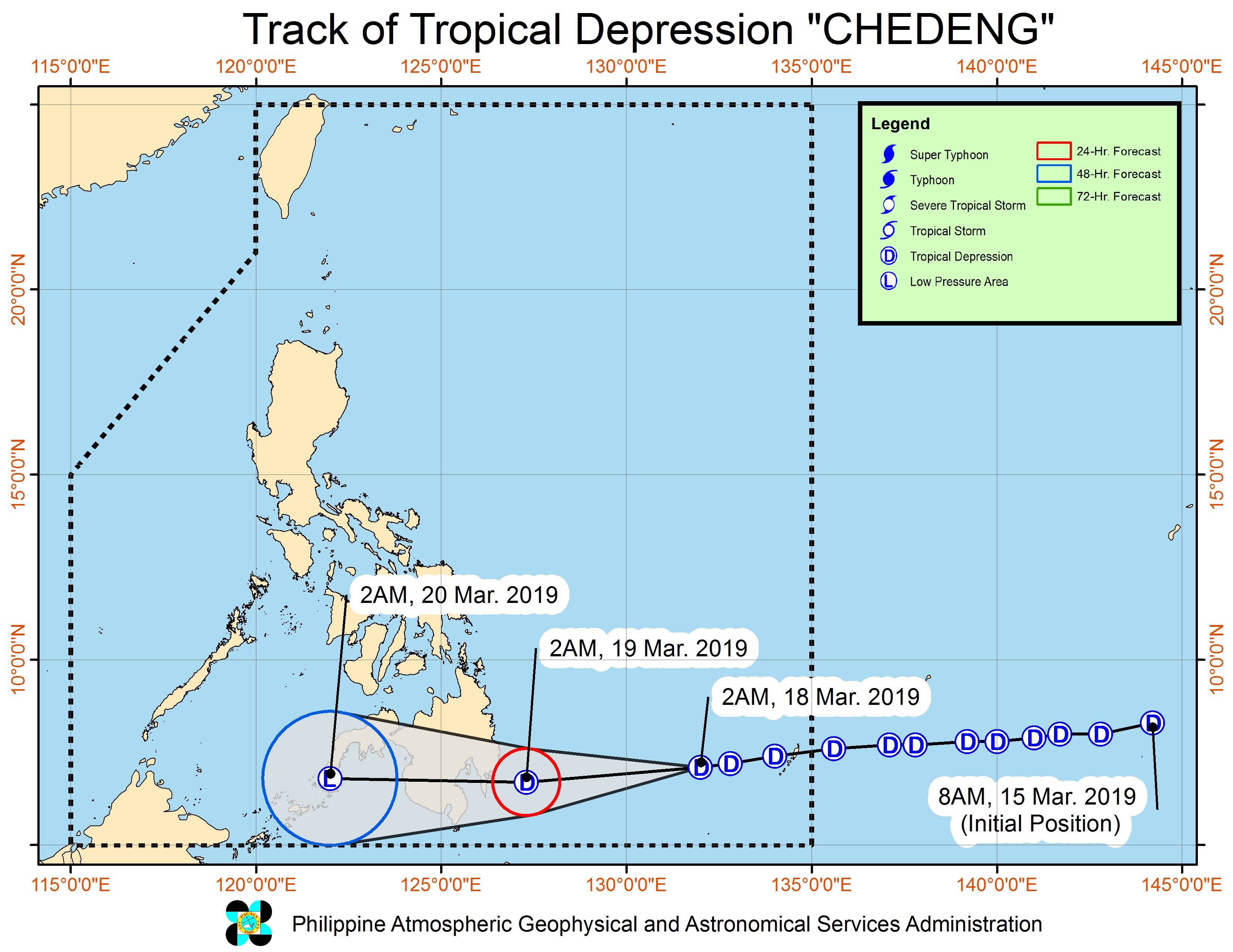
MANILA, Philippines – Tropical Depression Chedeng is expected to begin bringing rain and gusty winds to parts of Mindanao, particularly the Davao Region, on Monday, March 18.
In a bulletin issued 5 am on Monday, the Philippine Atmospheric, Geophysical, and Astronomical Services Administration (PAGASA) said Chedeng is now 650 kilometers east of Davao City. It is moving west at a slightly slower 15 kilometers per hour (km/h) from the previous 20 km/h.
The tropical depression continues to have maximum winds of 45 km/h and gustiness of up to 60 km/h.
More areas were placed under Signal No. 1:
- Davao Oriental
- Compostela Valley
- Davao del Sur
- Davao City
- Davao Occidental
- southern part of Davao del Norte including Samal Island
- eastern part of North Cotabato
- eastern part of Sarangani
PAGASA warned that moderate to heavy rain will hit Davao Oriental, Compostela Valley, Davao del Norte, Surigao del Sur, and Agusan del Sur on Monday. Similar conditions will prevail in most parts of Mindanao on Tuesday, March 19.
Chedeng might also make landfall in the eastern coast of Davao Oriental on Tuesday morning.
Residents of Mindanao should watch out for possible flash floods and landslides.
Due to Chedeng’s trough or extension, Eastern Visayas and Central Visayas may have scattered rainshowers and thunderstorms as well.
PAGASA also warned those with small vessels not to set sail in the eastern seaboards of the Visayas and Mindanao, as well as in areas under Signal No. 1. (READ: FAST FACTS: Tropical cyclones, rainfall advisories)
Based on its latest forecast track, Chedeng might eventually weaken into a low pressure area (LPA) within PAR. It will still bring rain even as an LPA.
Before Chedeng, the Philippines had Tropical Depression Amang in January and Tropical Depression Betty in February. (READ: LIST: PAGASA’s names for tropical cyclones in 2019)
The country gets an average of 20 tropical cyclones per year, but PAGASA expects only 14 to 18 in 2019. The number is likely to be below average as a “full-blown” El Niño looms.
Below is the estimated number of tropical cyclones from March to August:
- March – 0 or 1
- April – 0 or 1
- May – 1 or 2
- June – 1 or 2
- July – 2 or 3
- August – 2 or 3
Meanwhile, other parts of the Visayas and Luzon – not affected by Chedeng – will only have isolated rainshowers on Monday.
Parts of Metro Manila and Rizal continue to deal with a water shortage, which authorities said would ease once heavy rain falls. – Rappler.com
Add a comment
How does this make you feel?
There are no comments yet. Add your comment to start the conversation.