SUMMARY
This is AI generated summarization, which may have errors. For context, always refer to the full article.
What’s the weather like in your area? Report the situation through Rappler’s Agos or tweet us at @rapplerdotcom.
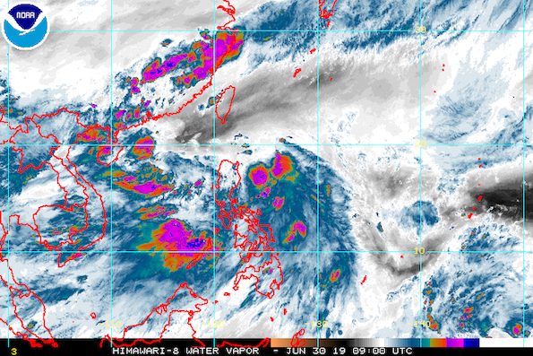
MANILA, Philippines – Tropical Depression Egay slightly accelerated on Sunday afternoon, June 30, while still enhancing the southwest monsoon or hanging habagat.
In a press briefing past 5 pm on Sunday, the Philippine Atmospheric, Geophysical, and Astronomical Services Administration (PAGASA) said Egay is already 545 kilometers east of Casiguran, Aurora.
It is now moving west northwest at a faster 30 kilometers per hour (km/h) from the previous 20 km/h.
Egay still has maximum winds of 55 km/h and gustiness of up to 65 km/h. PAGASA Weather Specialist Ariel Rojas said it could weaken into a low pressure area (LPA) in the next 24 to 48 hours.
Egay is not expected to make landfall in the country. But PAGASA has raised Signal No. 1 in Batanes, meaning winds of 30 km/h to 60 km/h are expected, with a lead time of 36 hours for residents to prepare. (READ: FAST FACTS: Tropical cyclones, rainfall advisories)
The southwest monsoon enhanced by Egay will continue to bring rain on Sunday night and on Monday, July 1. Below are the affected areas.
Sunday night, June 30
- Metro Manila
- Pangasinan
- Zambales
- Bataan
- Bulacan
- Cavite
- Batangas
- Occidental Mindoro
- Oriental Mindoro
- Romblon
- northern Palawan
Monday, July 1
- Metro Manila
- Ilocos Region
- Cordillera Administrative Region
- Central Luzon
- Calabarzon
- Mimaropa
- Bicol
- Antique
- Aklan
- western Iloilo
PAGASA advised residents in those areas to stay on alert for possible flash floods and landslides.
Based on its latest forecast track, Egay will leave PAR on Tuesday, July 2.
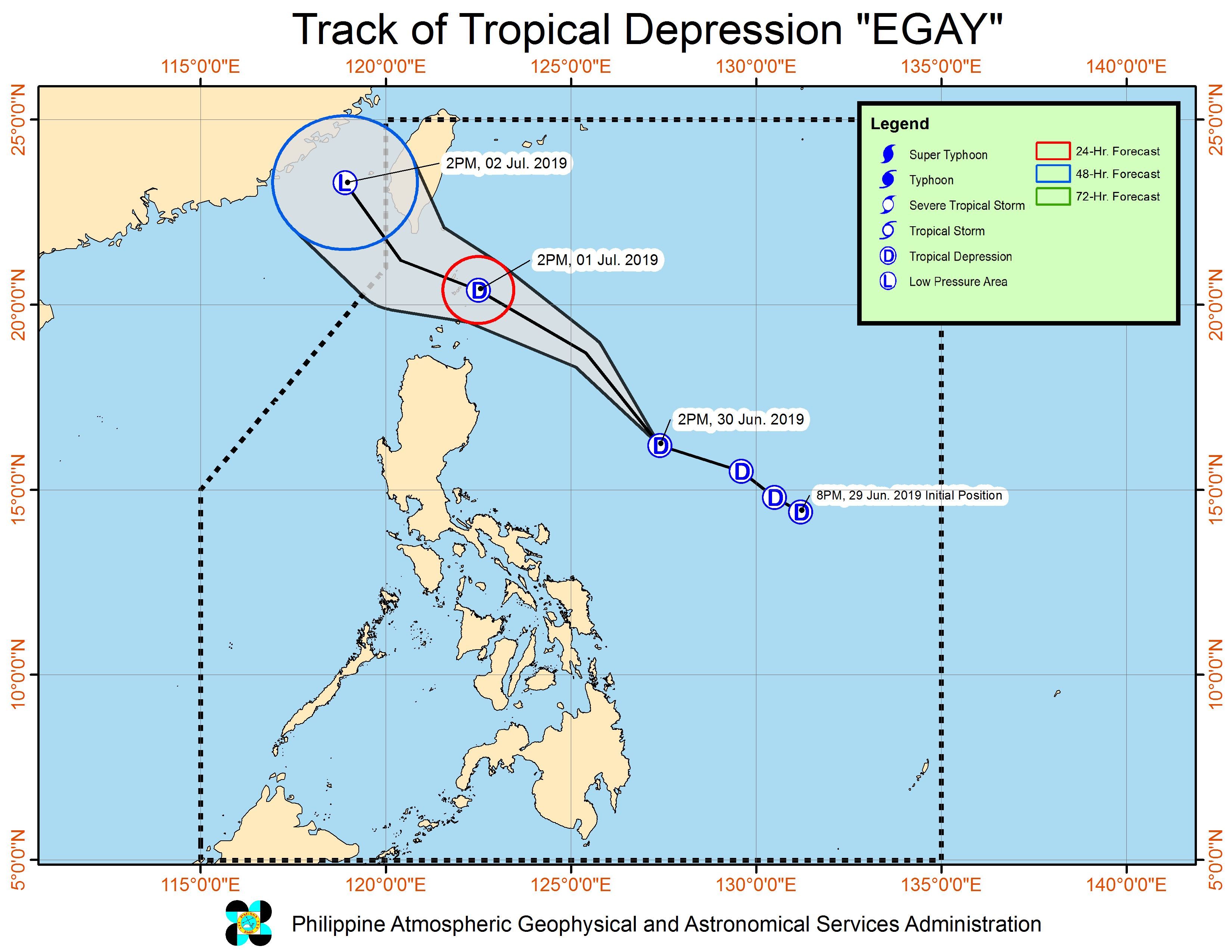
Meanwhile, PAGASA is also monitoring an LPA outside PAR.
This LPA is 360 kilometers west of Northern Luzon, located over the West Philippine Sea. It is not expected to enter PAR.
Egay is the Philippines’ 5th tropical cyclone for 2019, after Amang in January, Betty in February, Chedeng in March, and Dodong also in June – all tropical depressions as well. (READ: LIST: PAGASA’s names for tropical cyclones in 2019)
The Philippines gets an average of 20 tropical cyclones annually, but since 2019 is an El Niño year, only 14 to 18 tropical cyclones are expected.
Below is the estimated number of tropical cyclones from July to December:
- July – 2 or 3
- August – 2 to 4
- September – 2 to 4
- October – 2 or 3
- November – 1 or 2
- December – 0 or 1
PAGASA declared the start of the rainy season last June 14. – Rappler.com
Add a comment
How does this make you feel?
There are no comments yet. Add your comment to start the conversation.