SUMMARY
This is AI generated summarization, which may have errors. For context, always refer to the full article.
What’s the weather like in your area? Tweet us at @rapplerdotcom.
MANILA, Philippines – Tropical Depression Goring weakened into a low pressure area (LPA) at 8 pm on Friday, July 19, then left the Philippine Area of Responsibility (PAR).
In a bulletin issued 11 pm on Friday, the Philippine Atmospheric, Geophysical, and Astronomical Services Administration (PAGASA) said the LPA which used to be Goring is already 545 kilometers north northeast of Basco, Batanes, outside PAR.
With these developments, Signal No. 1 was lifted in Batanes. (READ: FAST FACTS: Tropical cyclones, rainfall advisories)
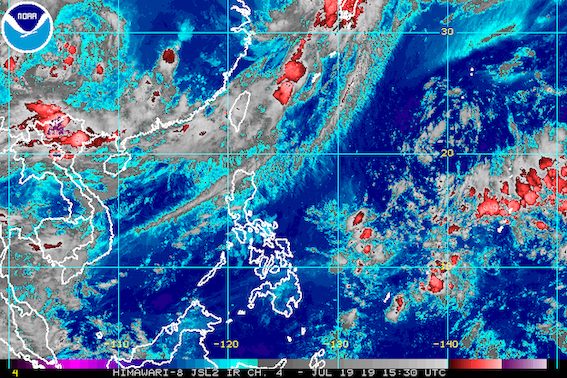
But PAGASA warned that moderate to heavy rain will persist in Batanes, while light to heavy rain may continue in the Ilocos Region and the Babuyan Group of Islands.
The southwest monsoon or hanging habagat has been affecting Luzon.
Residents should stay on alert for possible flash floods and landslides.
Sea travel also remains risky in the northern and western seaboards of Northern Luzon and the western seaboard of Central Luzon.
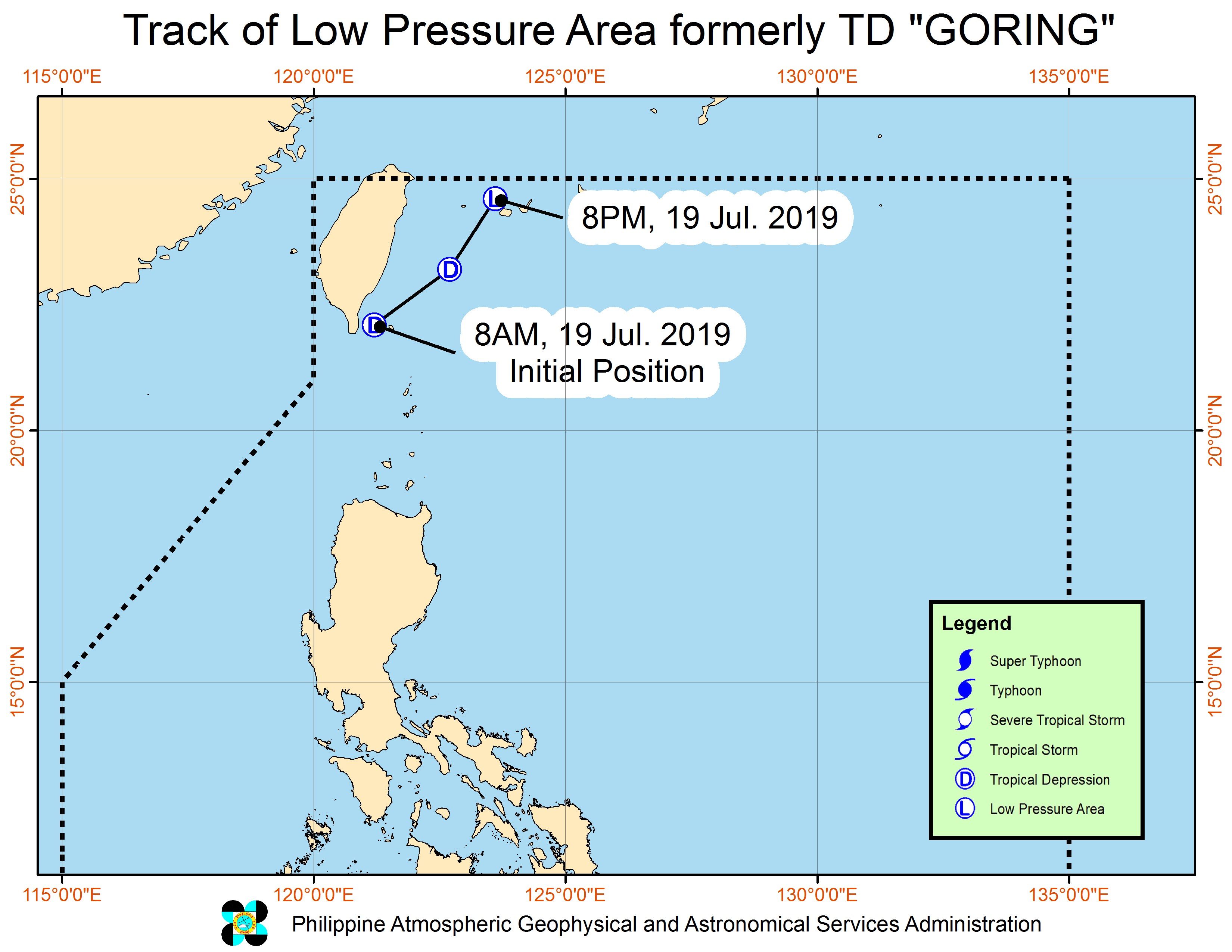
Goring was the Philippines’ 7th tropical cyclone for 2019. It developed into a tropical depression inside PAR and left PAR on the same day. (READ: LIST: PAGASA’s names for tropical cyclones in 2019)
The Philippines gets an average of 20 tropical cyclones annually, but since 2019 is an El Niño year, only 14 to 18 tropical cyclones are expected.
Below is the estimated number of tropical cyclones from July to December:
- July – 2 or 3
- August – 2 to 4
- September – 2 to 4
- October – 2 or 3
- November – 1 or 2
- December – 0 or 1
PAGASA declared the start of the rainy season last June 14. – Rappler.com
Add a comment
How does this make you feel?
There are no comments yet. Add your comment to start the conversation.