SUMMARY
This is AI generated summarization, which may have errors. For context, always refer to the full article.
What’s the weather like in your area? Tweet us at @rapplerdotcom.
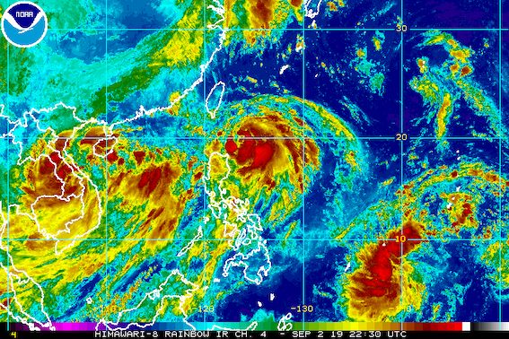
MANILA, Philippines – Tropical Storm Liwayway (Lingling) strengthened again over the Philippine Sea before dawn on Tuesday, September 3, while the southwest monsoon or hanging habagat continued to affect Luzon and Western Visayas.
In a briefing at 5 am on Tuesday, the Philippine Atmospheric, Geophysical, and Astronomical Services Administration (PAGASA) said Liwayway now has maximum winds of 85 kilometers per hour (km/h) from the previous 75 km/h and gustiness of up to 105 km/h from the previous 90 km/h.
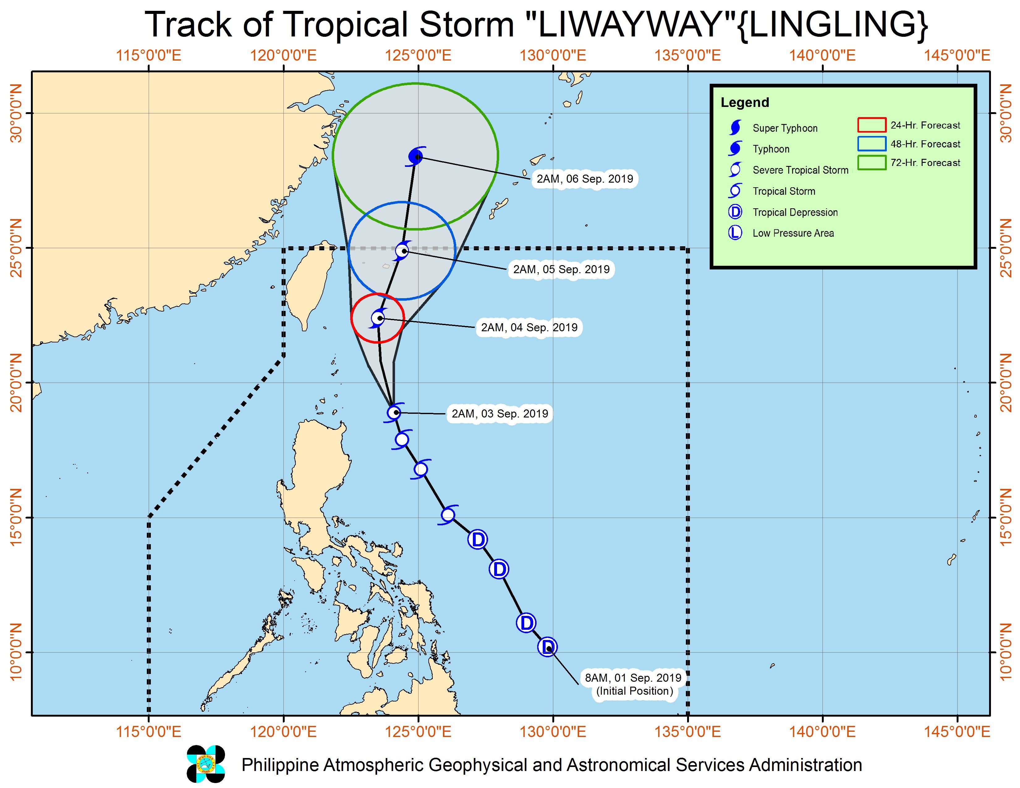
It is expected to strengthen further into a severe tropical storm within 24 hours, while still inside the Philippine Area of Responsibility (PAR).
Liwayway is already 255 kilometers east of Calayan, Cagayan. It slightly slowed down again and is now moving north northwest at 20 km/h from the previous 25 km/h.
The tropical storm remains unlikely to make landfall.
But Signal No. 1 is still raised in Batanes, where Liwayway could cause winds of 30 km/h to 60 km/h. PAGASA warned that these are potentially strong winds.
In terms of rainfall, here is the latest on what to expect from Liwayway and the southwest monsoon:
Tuesday morning, September 3, to Wednesday morning, September 4
- Light to heavy rain due to Liwayway
- Apayao
- Cagayan including Babuyan Group of Islands
- Batanes
- Scattered light to heavy rain due to the southwest monsoon
- rest of Cordillera Administrative Region
- Ilocos Region
- Central Luzon
- Metro Manila
- Calabarzon
- Mimaropa
- Panay Island
- Guimaras
PAGASA warned that flash floods and landslides are possible in areas affected by Liwayway and the southwest monsoon. (READ: FAST FACTS: Tropical cyclones, rainfall advisories)
At least one area has suspended classes for Tuesday. (READ: #WalangPasok: Class suspensions, Tuesday, September 3, 2019)
Travel is also risky in the seaboards of Luzon, especially in the seaboard of Batanes.
Based on Liwayway’s latest forecast track, it will leave PAR either on Wednesday, September 4, or on Thursday, September 5.
Liwayway is the Philippines’ 12th tropical cyclone for 2019, and the 2nd for September. (READ: LIST: PAGASA’s names for tropical cyclones in 2019)
The country gets an average of 20 tropical cyclones annually, but since 2019 is an El Niño year, only 14 to 18 tropical cyclones are expected.
Below is the estimated number of tropical cyclones from September to December:
- September – 2 to 4
- October – 2 or 3
- November – 1 or 2
- December – 0 or 1
PAGASA declared the start of the rainy season last June 14. – Rappler.com
Add a comment
How does this make you feel?
There are no comments yet. Add your comment to start the conversation.