SUMMARY
This is AI generated summarization, which may have errors. For context, always refer to the full article.
What’s the weather like in your area? Tweet us at @rapplerdotcom.
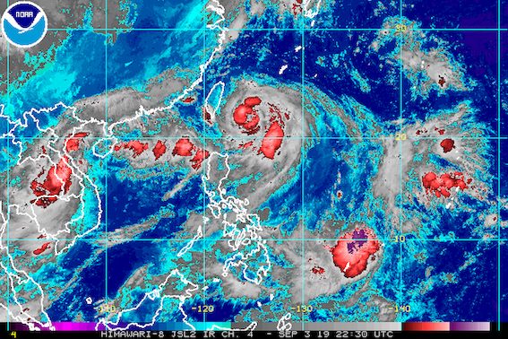
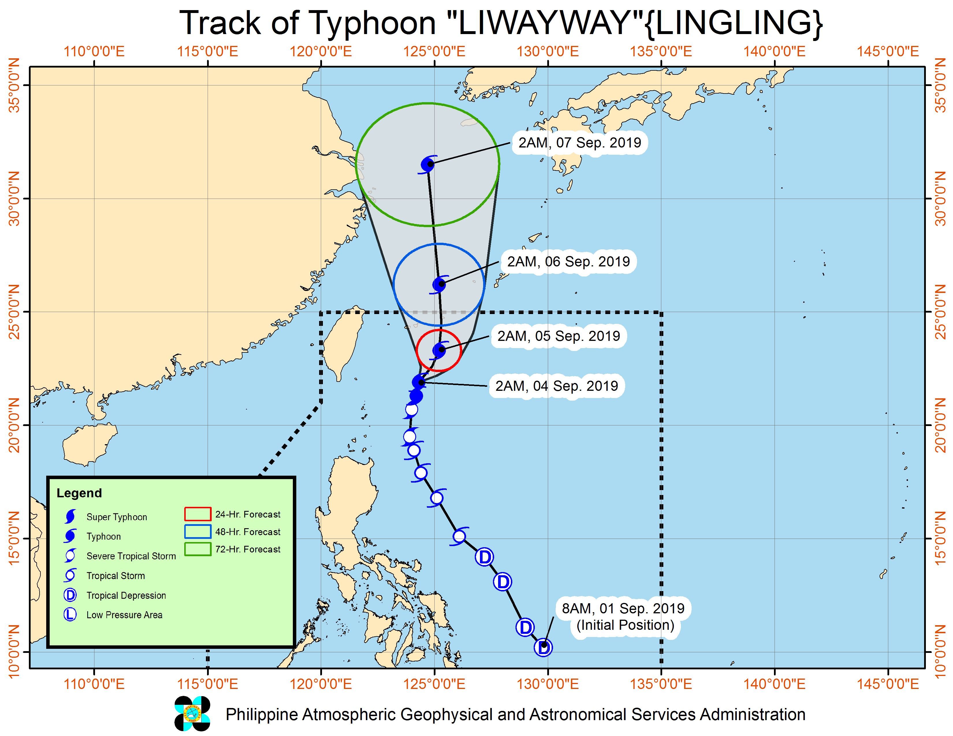
MANILA, Philippines – Typhoon Liwayway (Lingling) strengthened again before dawn on Wednesday, September 4, but Signal No. 1 was lifted in Batanes as the typhoon is starting to move away.
In a bulletin issued 5 am on Wednesday, the Philippine Atmospheric, Geophysical, and Astronomical Services Administration (PAGASA) said Liwayway now has maximum winds of 130 kilometers per hour (km/h) from the previous 120 km/h and gustiness of up to 160 km/h from the previous 150 km/h.
The typhoon is already 305 kilometers northeast of Basco, Batanes, still moving north at a slow 10 km/h.
Liwayway did not make landfall in the country.
Though Signal No. 1 has already been lifted in Batanes, however, PAGASA said there may still be occasional gusts in the province and also in the Babuyan Group of Islands due to the southwest monsoon or hanging habagat.
Rain from Liwayway and the southwest monsoon will also persist. Below is the latest on the expected rainfall:
Wednesday morning, September 4, to Thursday morning, September 5
- Light to heavy rain due to Liwayway
- Batanes
- Babuyan Group of Islands
- Scattered light to heavy rain due to the southwest monsoon
- Ilocos Region
- Cordillera Administrative Region
- Central Luzon
Thursday morning, September 5, to Friday morning, September 6
- Light to heavy rain due to Liwayway’s trough or extension and the southwest monsoon
- Batanes
- Babuyan Group of Islands
- Ilocos Norte
- Ilocos Sur
Flash floods and landslides are still possible in areas affected by Liwayway and the southwest monsoon. (READ: FAST FACTS: Tropical cyclones, rainfall advisories)
Travel also remains risky in the seaboards of Luzon.
Based on Liwayway’s latest forecast track, it will leave the Philippine Area of Responsibility (PAR) on Thursday afternoon or evening, September 5.
Meanwhile, PAGASA continues to monitor a low pressure area (LPA) outside PAR.
The LPA is now 1,020 kilometers east of Mindanao. It could enter PAR on Wednesday.
PAGASA Weather Specialist Ariel Rojas said the LPA only has a slim chance of developing into a tropical depression, so far, but the public should continue monitoring updates.
Liwayway is the Philippines’ 12th tropical cyclone for 2019, and the 2nd for September. (READ: LIST: PAGASA’s names for tropical cyclones in 2019)
The country gets an average of 20 tropical cyclones annually, but since 2019 is an El Niño year, only 14 to 18 tropical cyclones are expected.
Below is the estimated number of tropical cyclones from September to December:
- September – 2 to 4
- October – 2 or 3
- November – 1 or 2
- December – 0 or 1
PAGASA declared the start of the rainy season last June 14. – Rappler.com
Add a comment
How does this make you feel?
There are no comments yet. Add your comment to start the conversation.