SUMMARY
This is AI generated summarization, which may have errors. For context, always refer to the full article.
What’s the weather like in your area? Tweet us at @rapplerdotcom.
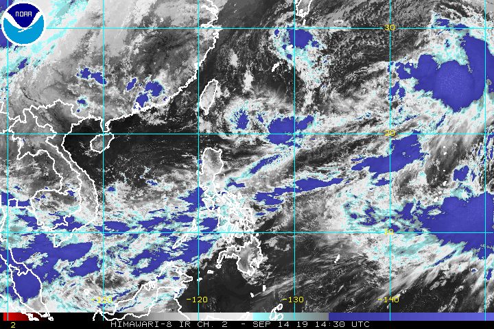
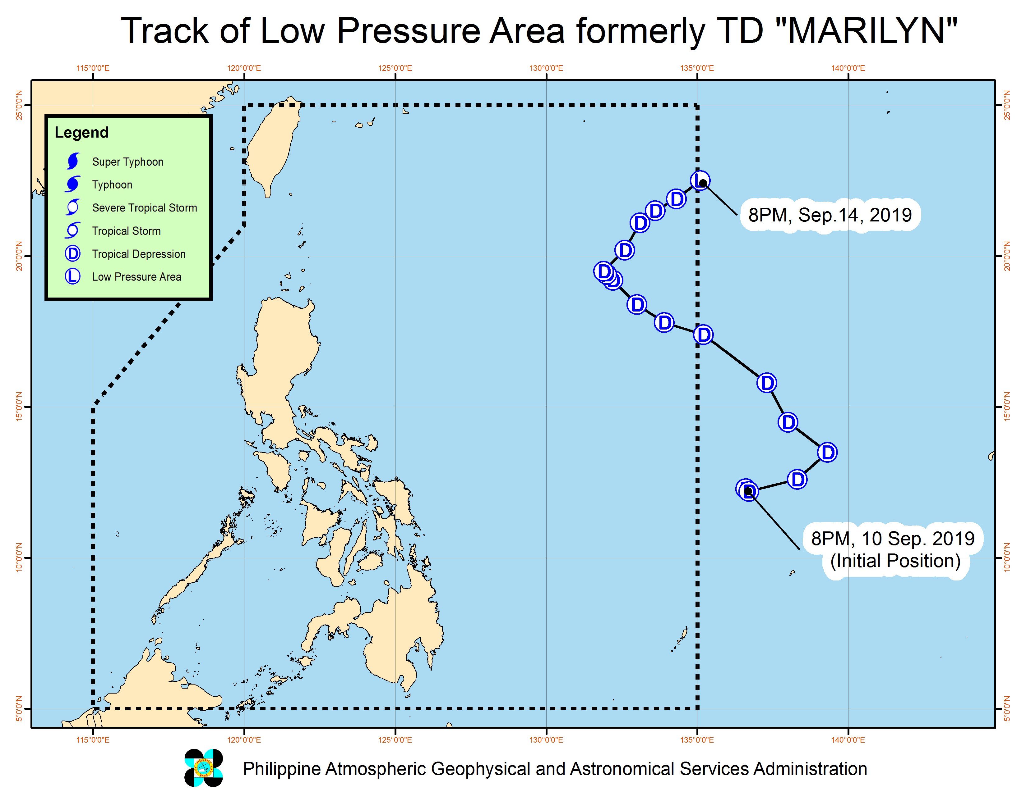
MANILA, Philippines – Tropical Depression Marilyn weakened into a low pressure area (LPA) and left the Philippine Area of Responsibility (PAR) at 8 pm on Saturday, September 14.
In a bulletin issued 11 pm on Saturday, the Philippine Atmospheric, Geophysical, and Astronomical Services Administration (PAGASA) said the LPA which used to be Marilyn is now 1,390 kilometers east northeast of Basco, Batanes.
Marilyn did not make landfall in the Philippines and no areas were placed under tropical cyclone wind signals. It did, however, bring some rain due to its broad circulation.
PAGASA Weather Specialist Gener Quitlong also noted that there is a chance of the LPA recurving and reentering PAR, and possibly reintensifying into a tropical depression.
Marilyn was the Philippines’ 13th tropical cyclone for 2019, and the 3rd in September. (READ: LIST: PAGASA’s names for tropical cyclones in 2019)
Meanwhile, PAGASA is monitoring a shallow low pressure area (SLPA) over the West Philippine Sea, at 495 kilometers west of Iba, Zambales.
Quitlong said the SLPA is unlikely to develop into an LPA or into a tropical depression within the next 24 hours. It could just dissipate.
However, Quitlong said the SLPA is affecting the southwest monsoon or hanging habagat, which is still causing rain in parts of the country.
Here’s the latest on the expected rainfall:
Saturday night, September 14, until Sunday night, September 15
- Occasional to frequent light to moderate rain, with intermittent heavy rain
- Palawan
- Occidental Mindoro
- Oriental Mindoro
- Western Visayas
- Zamboanga Peninsula
- Sulu Archipelago
- Scattered light to moderate rain, with at times heavy rain
- rest of Mimaropa
- Bicol
- Calabarzon
- rest of the Visayas
PAGASA warned that flash floods and landslides are still possible in areas affected by the southwest monsoon. (READ: FAST FACTS: Tropical cyclones, rainfall advisories)
Travel also remains risky in the western seaboard of Southern Luzon, the seaboards of the Visayas, and the eastern seaboard of Mindanao.
The country gets an average of 20 tropical cyclones annually, but since 2019 is an El Niño year, only 14 to 18 tropical cyclones are expected.
Below is the estimated number of tropical cyclones from September to December:
- September – 2 to 4
- October – 2 or 3
- November – 1 or 2
- December – 0 or 1
PAGASA declared the start of the rainy season last June 14. – Rappler.com
Add a comment
How does this make you feel?
There are no comments yet. Add your comment to start the conversation.