SUMMARY
This is AI generated summarization, which may have errors. For context, always refer to the full article.
MANILA, Philippines – After Typhoon Glenda (Rammasun), should the Philippines worry about more bad weather?
State weather bureau PAGASA, during a press conference at the NDRRMC Wednesday, July 16, said the next weather disturbance may form within the weekend.
This aligns with the report of new low pressure areas (LPAs) spotted by NASA in the northwestern Pacific Ocean. But NASA said there is a “low chance for [these LPAs’] development” into stronger weather systems in the coming days.
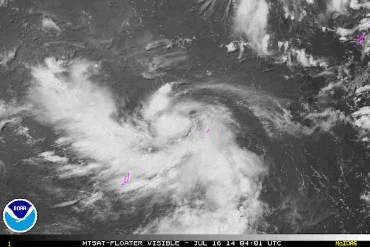
NASA’s Hurricane web page on Wednesday, July 16, said they spotted the formation of System 93W and 94W.
System 93W formed just 45 nautical miles northwest of Yap Island in Micronesia, but NASA said it is “large and circulation center is poorly developed.”
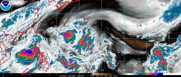
Further east from the Philippines, System 94W was spotted by the Aqua satellite forming 331 nautical miles north-northwest of Pohnpei Island, also in Micronesia.
“It’s a broad and [has a] poorly defined low-level center. Maximum sustained surface winds are estimated between 10 and 15 [miles per hour],” NASA said. “This low pressure area has a low chance for development in the next 24 hours.”
However, it is “too early to tell,” said Alexander Pama, chief of the National Disaster Risk Reduction & Management Council (NDRRMC), in an interview with reporters.
“Like in any weather system that’s brewing anything can happen. Ang basis lang naman ng sinabi ng PAGASA, kung titignan natin doon sa simulation, mukhang namumuo,” he said.
(The basis is the announcement made by PAGASA; if we look at the simulation, it appears something’s forming.)
“Pero sana huwag nang mag-develop kasi kung kelan tayo nagre-recover, saka naman papasok,” Pama said. (Hopefully it doesn’t develop [into a strong weather disturbance] because we’re just starting to recover, then we’ll face another disaster.)
Typhoon Glenda hit the Philippines Tuesday and Wednesday, ravaging large parts of Bicol and Southern Luzon. – With reports from Bea Cupin/Rappler.com
Add a comment
How does this make you feel?
There are no comments yet. Add your comment to start the conversation.