SUMMARY
This is AI generated summarization, which may have errors. For context, always refer to the full article.
What’s the weather like in your area? Report the situation through Rappler’s Agos or tweet us at @rapplerdotcom.
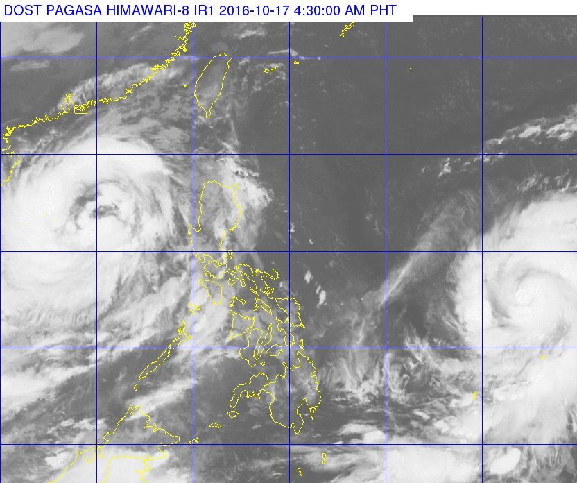
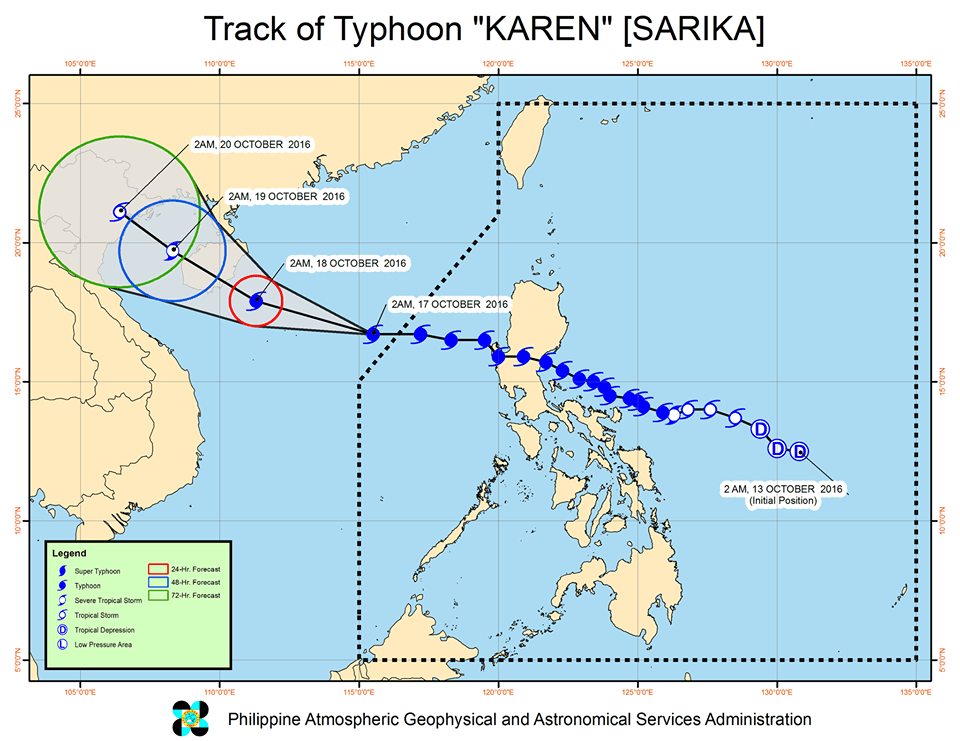
MANILA, Philippines – Typhoon Karen (Sarika) left the Philippine Area of Responsibility (PAR) early Monday, October 17.
In its bulletin issued 4:30 am on Monday, state weather bureau PAGASA said Karen was already 565 kilometers west of Dagupan City, Pangasinan.
The typhoon maintained its strength as it exited PAR, with maximum winds of up to 130 kilometers per hour (km/h) and gustiness of up to 200 km/h.
The typhoon had made landfall in Baler, Aurora at 2:30 am on Sunday, October 16. (WATCH: VIDEO: Aftermath of Typhoon Karen in Baler, Aurora)
Karen affected much of Luzon, bringing heavy rain and strong winds.
As of 2 pm on Sunday, there were about 2,628 displaced families in Ilocos, Cagayan Valley, Central Luzon, Calabarzon, and Bicol, according to the Department of Social Welfare and Development (DSWD). Relief operations are underway.
Earlier, at least two people were reported dead in Catanduanes. The National Disaster Risk Reduction and Management Council (NDRRMC) said it is still verifying reports of casualties.
Typhoon Haima
While Karen may already be out of PAR, another tropical cyclone is set to enter on Monday afternoon.
Typhoon Haima is 1,430 km east of the Visayas, and it will be given the local name Lawin when it enters PAR.
PAGASA forecaster Benison Estareja earlier said that if Haima’s path stays the same, it will likely target Luzon. The exact areas, however, cannot be pinpointed yet as Haima is still too far from the country. – Rappler.com
Add a comment
How does this make you feel?
There are no comments yet. Add your comment to start the conversation.