SUMMARY
This is AI generated summarization, which may have errors. For context, always refer to the full article.
MANILA, Philippines – When does a severe tropical storm become a typhoon? How does Signal No. 1 differ from Signal No. 5? Where does a tropical cyclone get its name? What is the meaning of a yellow rainfall advisory?
We’ve got the answers to those questions on this page, and more, as a handy reference for the rainy season.
The information are based on official data from the Philippines’ weather bureau, the Philippine Atmospheric, Geophysical, and Astronomical Services Administration (PAGASA), and from the World Meteorological Organization (WMO).
Kinds of Tropical Cyclones
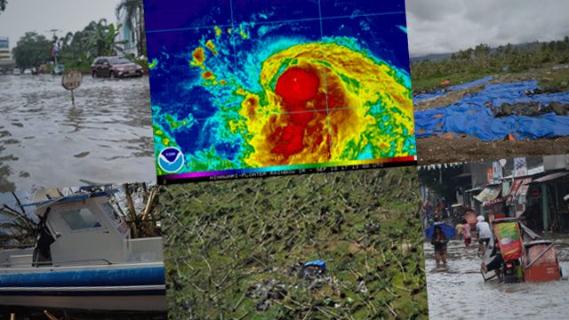
The Philippines gets around 20 tropical cyclones each year.
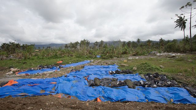
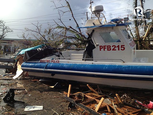
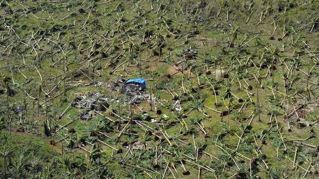
PAGASA classifies tropical cyclones into 5 categories, with the severe tropical storm and super typhoon categories officially added only in 2015. The state weather bureau reevaluated the classification, especially taking into account Super Typhoon Yolanda (Haiyan), which killed thousands of people and left a trail of destruction in Eastern Visayas in 2013.
Tropical cyclones are classified based on their maximum sustained winds.
Tropical depression
- maximum winds of up to 61 kilometers per hour (km/h)
Tropical storm
- maximum winds of 62 to 88 km/h
Severe tropical storm
- maximum winds of 89 to 117 km/h
Typhoon
- maximum winds of 118 to 220 km/h
Super typhoon
- maximum winds exceeding 220 km/h
Typhoon vs Hurricane vs Cyclone
Typhoon, hurricane, cyclone – they all essentially mean the same thing. The only difference is where they are located.
The WMO provided this breakdown:
- Typhoons – Western North Pacific
- Hurricanes – Western North Atlantic, Central North Pacific, Eastern North Pacific, Caribbean Sea, Gulf of Mexico
- Cyclones – Bay of Bengal, Arabian Sea
- Severe tropical cyclones – Western South Pacific, Southeast Indian Ocean
- Tropical cyclones – Southwest Indian Ocean
Naming of Tropical Cyclones
All tropical cyclones are given local names when they form inside or enter the Philippine Area of Responsibility (PAR). PAGASA has 4 sets of tropical cyclone names that are used every 4 years. This means the names for 2019 will also be used in 2023, 2027, and so on.
PAGASA drops the usage of a tropical cyclone name when it has met at least one of these two requirements:
- at least 300 deaths
- P1 billion worth of damage to agriculture and infrastructure
As for international names, the Regional Specialized Meteorological Center (RSMC) Tokyo-Typhoon Center assigns names to tropical cyclones in the Western North Pacific and South China Sea. The names come from a list contributed to by several countries, including the Philippines.
Only tropical cyclones of tropical storm strength and above – not tropical depressions – get an international name.
International names are also retired if a tropical cyclone is “particularly deadly or costly,” noted the WMO.
Tropical Cyclone Wind Signals
Whenever PAGASA announces a list of areas under tropical cyclone wind signals, there’s almost always this comment: “Why is it still sunny where I am, when we’re under Signal No. 1 / 2…?”
It’s important to note that the signal numbers are precisely raised as a warning – to give both the government and the public lead time to prepare. When the areas are announced for the very first time, it does not mean that rain is already pouring or winds are already howling, which is a good thing as residents can still prepare for the potential effects of a tropical cyclone.
PAGASA uses Signal Nos. 1 to 5, with 5 just added in 2015. When it announced the additional signal back then, the state weather bureau said that “extensive and devastating damage caused by strong typhoons” had already made the 4-level warning system “inadequate.” A prime example: the destruction from Yolanda.
Tropical cyclone wind signals also used to be called tropical cyclone warning signals. But in 2019, PAGASA changed the term to emphasize that such signals are based on wind.
Signal No. 1
- winds of 30 to 60 km/h expected in at least 36 hours
- wave height of 1.25 to 4 meters
- no damage to very light damage (makeshift structures may be affected)
- some banana plants may be tilted and twigs of small trees may be broken
- significant damage to rice crops possible if in flowering stage
Signal No. 2
- winds of 61 to 120 km/h expected in at least 24 hours
- wave height of 4.1 to 14 meters
- storm surge possible in coastal areas
- light to moderate damage to high-risk structures (such as shanties which may lose their roofs), very light to light damage to medium-risk structures, no damage to very light damage to low-risk structures
- wooden, old electric posts tilted or downed
- poorly constructed signs or billboards damaged
- most banana plants, a few mango trees, ipil-ipil, and similar trees downed or broken
- some coconut trees tilted, a few broken
- rice and corn crops may be damaged
Signal No. 3
- winds of 121 to 170 km/h expected in at least 18 hours
- wave height above 14 meters
- storm surge possible in coastal areas
- heavy damage to high-risk structures (such as shanties); moderate damage to medium-risk structures (old, dilapidated houses or mixed timber structures); light damage to low-risk structures
- almost all banana plants downed, some big trees (acacia, mango, etc) broken or uprooted
- dwarf-type or hybrid coconut trees tilted or downed
- considerable damage to shrubbery
Signal No. 4
- winds of 171 to 220 km/h expected in at least 12 hours
- wave height above 14 meters
- storm surge 2 to 3 meters high possible in coastal areas
- very heavy damage to high-risk structures (those made of light materials may be totally or partially destroyed), heavy damage to medium-risk structures (roofs blown away, walls collapsed, doors and windows extensively damaged), moderate damage to low-risk structures (made of first-class materials but partially damaged)
- all signs and billboards blown down
- banana plantations almost totally damaged and most mango trees, ipil-ipil, and similar trees downed or broken
- coconut plantations extensively damaged
- rice and corn plantations may suffer severe losses
Signal No. 5
- winds of more than 220 km/h expected in at least 12 hours
- wave height above 14 meters
- storm surge more than 3 meters high possible in coastal areas
- widespread damage to high-risk structures (homes in coastal areas made of light materials may be totally damaged), very heavy damage to medium-risk structures (roofs blown away, extensive damage to windows and doors), heavy damage to low-risk structures (most residential and commercial buildings of mixed construction may be severely damaged)
- all signs and billboards blown down
- electricity and communication services severely disrupted
- total damage to banana plantations
- most trees broken, uprooted (including coconut trees)
Other Common Weather Terms
Cold front
- forms when an advancing cold air mass displaces warmer air in its path, causing the displaced warm air to rise, which then leads to the formation of clouds and precipitation
Intertropical convergence zone (ITCZ)
- a belt near the equator where the trade winds of the Northern Hemisphere and Southern Hemisphere meet, usually causing low pressure areas or thunderstorms
Landfall
- when the center or eye of a tropical cyclone hits land
Low pressure area (LPA)
- “region of the atmosphere in which the pressures are lower than those of the surrounding region at the same level” (WMO)
- brings cloudy or rainy weather because air rises and cools near a low pressure area, causing precipitation
Philippine Area of Responsibility (PAR)
- the area set by the WMO for PAGASA to monitor
- weather disturbances that enter PAR or develop inside PAR should be tracked by PAGASA
Southwest monsoon
- also known as hanging habagat
- “warm, moist winds from the southwest causing rains over the western portion of the country” (PAGASA)
- usually from June to September, but may begin in late May
Thunderstorm
- a local-scale weather system that affects only certain areas at a time and usually lasts up to two hours only
- brings moderate to heavy rain, thunder, and lightning
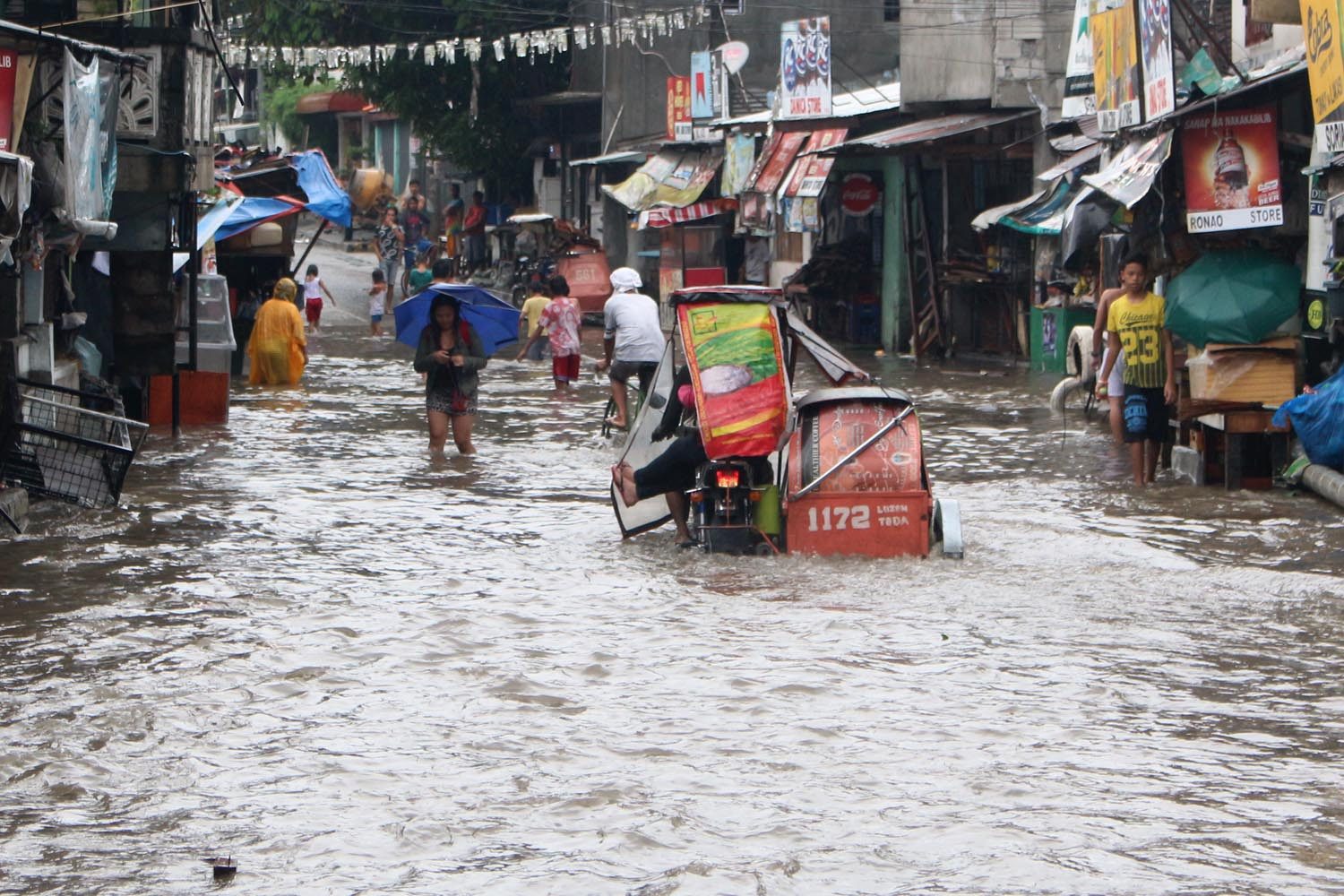
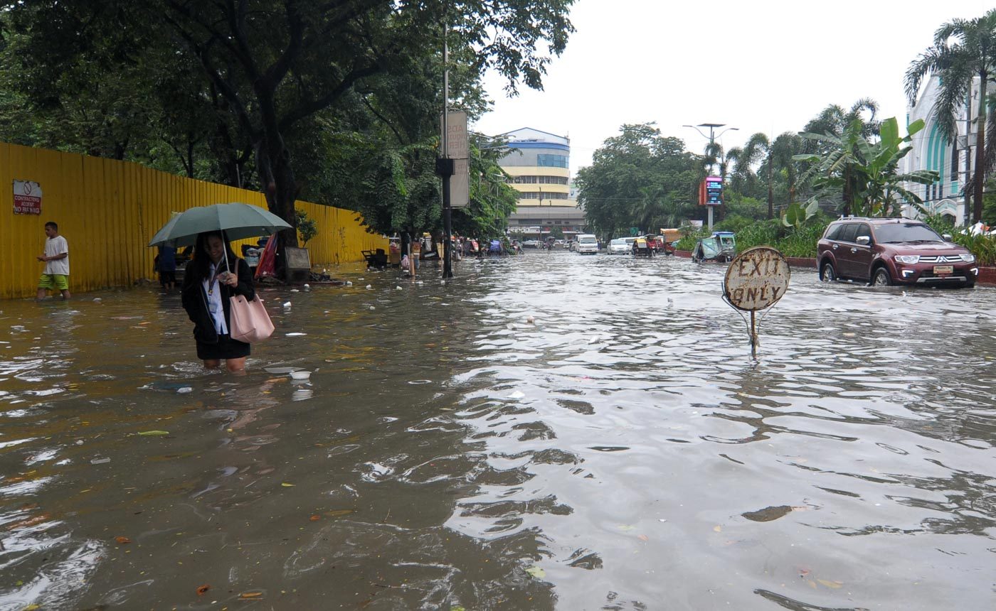
Color-Coded Rainfall Advisories
PAGASA uses color-coded rainfall advisories to warn the public of heavy to torrential rain and possible flooding. These advisories – yellow, orange, and red – are usually issued every 3 hours.
Yellow
- heavy rain (7.5 to 15 millimeters) in next 3 hours
- flooding possible in low-lying areas and near rivers
- residents should be aware of the weather condition
Orange
- intense rain (15 to 30 mm) in next 3 hours
- flooding is threatening in low-lying areas and near rivers
- residents should be prepared for possible evacuation
Red
- torrential rain (more than 30 mm) in next 3 hours
- severe flooding expected
- residents should evacuate or take the necessary precautionary measures
PAGASA issues daily weather forecasts every 4 am and 4 pm. When there’s a tropical cyclone, bulletins are issued every 5 am, 11 am, 5 pm, and 11 pm. If a tropical cyclone is particularly threatening or many areas are affected, the frequency of bulletins becomes every 3 hours, so there are also bulletins every 8 am, 2 pm, and 8 pm, on top of the 4 original ones. – Rappler.com
What’s the weather like in your area? Report the situation through Rappler’s Agos or tweet us at @rapplerdotcom.
Add a comment
How does this make you feel?
There are no comments yet. Add your comment to start the conversation.