SUMMARY
This is AI generated summarization, which may have errors. For context, always refer to the full article.
What’s the weather like in your area? Tweet us at @rapplerdotcom.
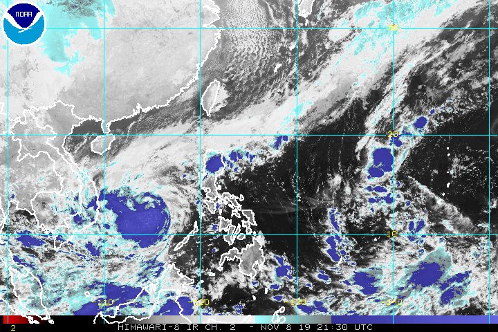
MANILA, Philippines – Typhoon Quiel (Nakri) left the Philippine Area of Responsibility (PAR) at 5 am on Saturday, November 9.
In a briefing past 5 am on Saturday, the Philippine Atmospheric, Geophysical, and Astronomical Services Administration (PAGASA) said Quiel is now 590 kilometers west of Coron, Palawan.
The typhoon maintained its strength as it left PAR, with maximum winds of 120 kilometers per hour (km/h) and gustiness of up to 150 km/h.
Quiel did not make landfall in the country and no areas were placed under tropical cyclone wind signals.
But the typhoon, along with the tail-end of a cold front, had triggered rain in parts of Luzon and the Visayas in the past days. This caused floods, particularly in Cagayan. (READ: FAST FACTS: Tropical cyclones, rainfall advisories)
PAGASA said the following areas will continue to have scattered rainshowers and thunderstorms on Saturday due to the tail-end of a cold front:
- Ilocos Region
- Cordillera Administrative Region
- Cagayan Valley
PAGASA defines the tail-end of a cold front as an “extended zone of converging winds from east to northeast that often brings thunderstorms and rainshowers.”
Flash floods and landslides are possible if the thunderstorms become severe.
The rest of the country will have generally good weather on Saturday, with just isolated rainshowers or localized thunderstorms.
Quiel was the Philippines’ 17th tropical cyclone for 2019, and the 1st in November. (READ: LIST: PAGASA’s names for tropical cyclones in 2019)
The country gets an average of 20 tropical cyclones annually, but since 2019 is an El Niño year, only 14 to 18 tropical cyclones are expected.
Below is the estimated number of tropical cyclones for the last two months of 2019:
- November – 1 or 2
- December – 0 or 1
PAGASA declared the start of the rainy season last June 14. – Rappler.com
Add a comment
How does this make you feel?
There are no comments yet. Add your comment to start the conversation.