SUMMARY
This is AI generated summarization, which may have errors. For context, always refer to the full article.
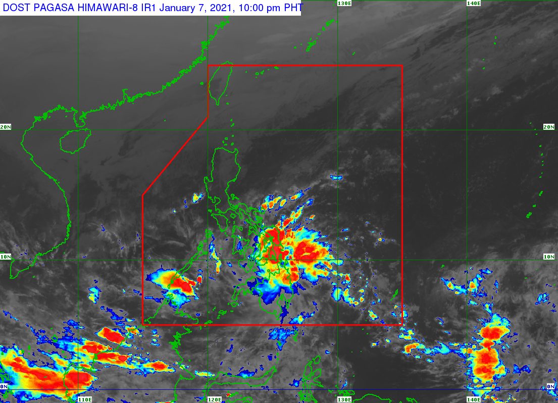
A newly formed low pressure area (LPA) embedded along the intertropical convergence zone (ITCZ) is bringing rain to several areas in the Visayas and Mindanao.
The Philippine Atmospheric, Geophysical, and Astronomical Services Administration (PAGASA) said on Thursday afternoon, January 7, that the LPA was located 265 kilometers east southeast of Davao City.
The ITCZ, meanwhile, is a zone where northeast and southeast trade winds meet, usually causing LPAs or thunderstorms.
PAGASA warned of scattered rain showers and thunderstorms in the following areas:
- Eastern Visayas
- Central Visayas
- Mindanao
The rain will be moderate to heavy at times, which could trigger flash floods and landslides.
PAGASA Weather Specialist Raymond Ordinario said the LPA only has a slim chance of developing into a tropical depression. (READ: FAST FACTS: Tropical cyclones, rainfall advisories)
The Philippines has yet to have its first tropical cyclone of 2021.
For the first 6 months of the year, these are PAGASA’s estimates for the number of tropical cyclones inside the Philippine Area of Responsibility:
- January – 0 or 1
- February – 0 or 1
- March – 0 or 1
- April – 0 or 1
- May – 0 or 1
- June – 1 or 2
The state weather bureau earlier said La Niña is likely to continue until March. This means above normal rainfall would persist.
Meanwhile, the northeast monsoon or hanging amihan is still affecting Luzon.
There may be isolated light rain due to the northeast monsoon, but PAGASA said there would be “no significant impact.” – Rappler.com
Add a comment
How does this make you feel?
There are no comments yet. Add your comment to start the conversation.