SUMMARY
This is AI generated summarization, which may have errors. For context, always refer to the full article.
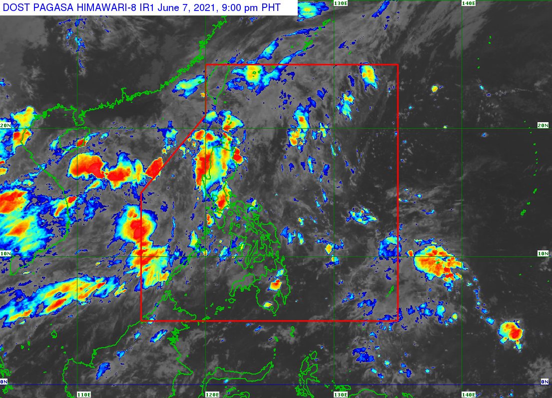
A low pressure area (LPA) developed inside the Philippine Area of Responsibility (PAR) on Monday, June 7.
The LPA is embedded along the intertropical convergence zone (ITCZ) affecting the Visayas and Mindanao, said the Philippine Atmospheric, Geophysical, and Astronomical Services Administration (PAGASA).
As of Monday afternoon, the LPA was located 350 kilometers east southeast of Borongan City, Eastern Samar.
PAGASA Senior Weather Specialist Chris Perez said the LPA only has a slim chance of developing into a tropical cyclone, so far. (READ: FAST FACTS: Tropical cyclones, rainfall advisories)
But scattered rain showers and thunderstorms are expected in Eastern Visayas, Surigao del Sur, and Surigao del Norte due to the ITCZ on Monday evening until Tuesday, June 8.
The ITCZ is a zone where northeast and southeast trade winds meet, usually causing thunderstorms and LPAs.
Meanwhile, the southwest monsoon or hanging habagat is affecting Luzon.
PAGASA said the following areas should expect scattered rain showers and thunderstorms too:
- Metro Manila
- Ilocos Region
- Cordillera Administrative Region
- Zambales
- Bataan
- Palawan
- Occidental Mindoro
- Oriental Mindoro
The rest of the Philippines could have isolated rain or thunderstorms.
PAGASA declared the start of the rainy season last Friday, June 4. – Rappler.com
Add a comment
How does this make you feel?
There are no comments yet. Add your comment to start the conversation.