SUMMARY
This is AI generated summarization, which may have errors. For context, always refer to the full article.
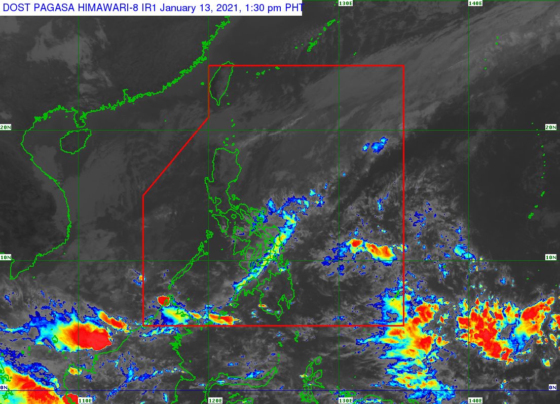
The low pressure area (LPA) south of Zamboanga City dissipated at 8 am on Wednesday, January 13, but the tail-end of a frontal system continues to trigger rain in Eastern Visayas and several other areas.
The Philippine Atmospheric, Geophysical, and Astronomical Services Administration (PAGASA) said in its 11 am advisory on Wednesday that the tail-end of a frontal system or shear line will still bring rain in the next 24 hours.
Here is PAGASA’s latest rainfall forecast:
Moderate to heavy rain
- Eastern Samar
- Northern Samar
- Samar
Light to moderate rain, with at times heavy rain
- rest of Eastern Visayas
- Bicol
- Dinagat Islands
- Surigao del Norte
PAGASA warned that floods and landslides could still occur in the affected areas, especially in places which already recorded significant rainfall in recent days.
The past week had been rainy in parts of the Visayas and Mindanao, mostly due to the tail-end of a frontal system.
The tail-end of a frontal system is the boundary between the easterlies and the northeast monsoon or hanging amihan. The easterlies refer to warm, moist air coming from the Pacific Ocean, while the northeast monsoon brings cold, dry air.
So far, PAGASA is not monitoring any other new LPA or potential tropical cyclone. The Philippines has yet to have its first tropical cyclone of 2021. (READ: FAST FACTS: Tropical cyclones, rainfall advisories)
For the first 6 months of the year, these are PAGASA’s estimates for the number of tropical cyclones inside the Philippine Area of Responsibility:
- January – 0 or 1
- February – 0 or 1
- March – 0 or 1
- April – 0 or 1
- May – 0 or 1
- June – 1 or 2
La Niña is still ongoing, causing above normal rainfall. – Rappler.com
Add a comment
How does this make you feel?
There are no comments yet. Add your comment to start the conversation.